Local Weather Radar Stations in the USA: How to Actually Use Them
Last updated: 2026-03-10
For most people in the U.S., the fastest way to use local radar stations is to open an app like Clime that turns NOAA’s NEXRAD network into a clean, zoomable radar map. If you need exact station IDs, raw files, or research‑grade data, you can go straight to NOAA and NWS tools instead.
Summary
- The U.S. weather radar backbone is the NEXRAD (WSR‑88D) network of about 159 stations, run by NOAA and partners.(NOAA PDF)
- You can view each local radar directly on the NWS radar site or by using station‑aware apps and maps.(NWS Radar)
- At Clime, we use NOAA‑sourced radar mosaics and layer on alerts, lightning, hurricanes, and wildfire maps for an everyday view that most people can actually read.(Clime site)
- Power users who need raw Level‑I/II radar data or lists of all station IDs should grab them from official NOAA/NWS PDFs and archives.(NCEI NEXRAD)
What are “local weather radar stations” in the USA?
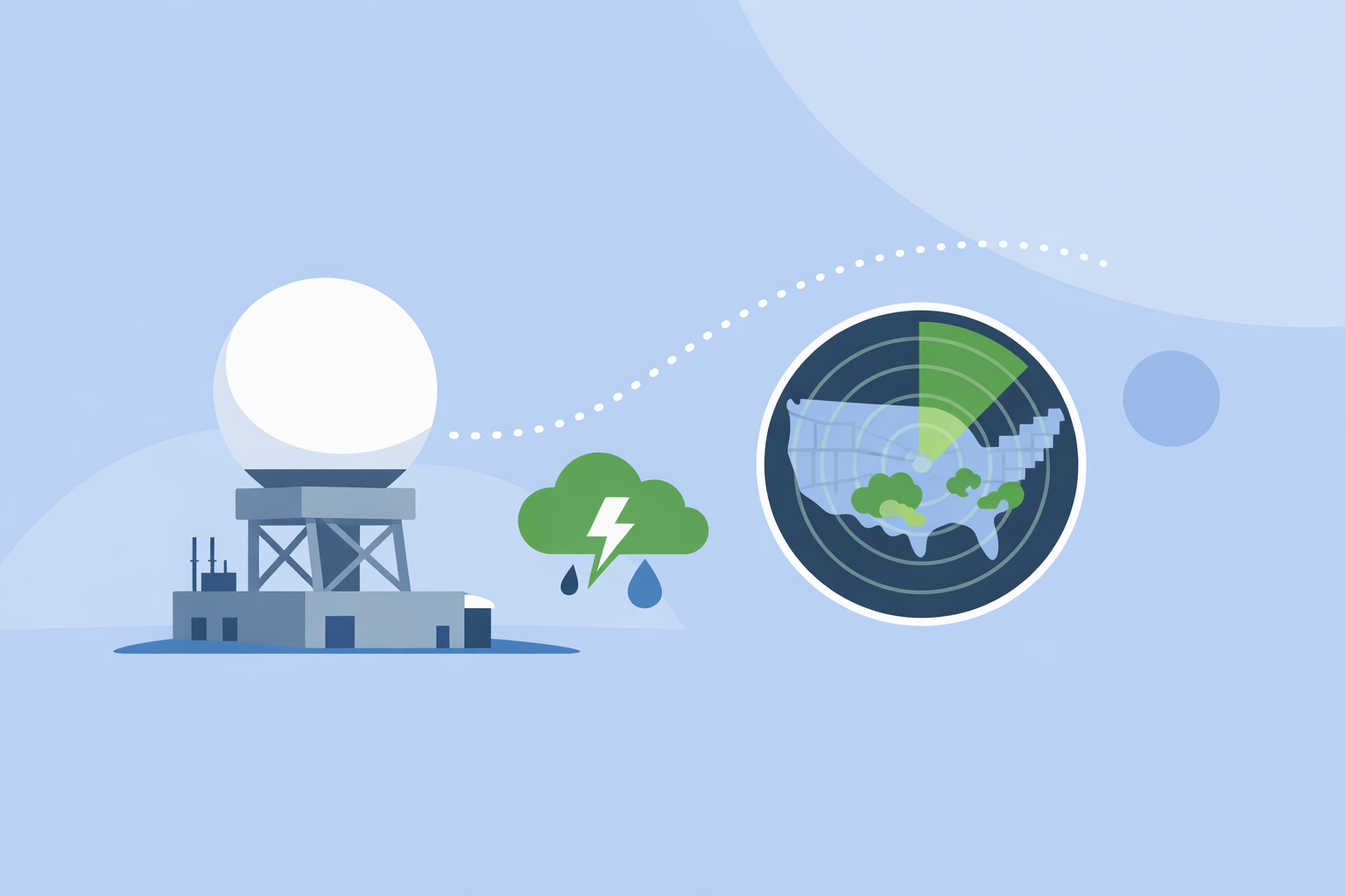
When people in the U.S. talk about local weather radar stations, they usually mean the NEXRAD (Next Generation Weather Radar) sites, officially designated as WSR‑88D radars. These are the Doppler radars that paint the familiar green–yellow–red precipitation images you see in apps, on TV, and on websites.(NEXRAD overview)
There are roughly 159 of these NEXRAD radars spread across the United States and nearby territories, giving overlapping coverage for most populated areas.(NOAA PDF) Each station has a four‑letter ID (like KTLX for Oklahoma City, KBOX for Boston) and scans the atmosphere every few minutes.
For everyday users, the key takeaway is: you almost never need to interact with the raw station feed. You just need a good radar map that already stitches those scans into something readable on your phone.
Where are the NEXRAD (WSR‑88D) radar stations located in the United States?
If you want the official list of radar stations—names, locations, and IDs—the National Weather Service publishes it in a single document called the WSR‑88D Radar List.
- The list covers 159 sites with their IDs and locations.(NWS WSR‑88D list)
- These stations are distributed to maximize overlapping coverage, with denser placement in storm‑prone regions like the Plains and Southeast.
For a practical mental model:
- Your “local radar” is simply the nearest WSR‑88D site, plus neighboring sites that help fill in gaps.
- Most consumer apps (including Clime) don’t make you pick stations; they combine them into a seamless mosaic.
If you like to explore on a map, the NWS interactive radar lets you zoom around the U.S. and see which station is feeding each view.(NWS Radar)
How do I find a local radar station by its NEXRAD ID (for example KBOX)?
There are two main workflows, depending on how technical you want to get.
1. Simple, visual workflow (recommended for most people)
- Open a radar app that is built on NEXRAD data. At Clime, we center the experience around an interactive NOAA‑based radar map, so you just pan to your town and zoom in.(Clime site)
- You see live precipitation and storm structure without ever worrying about station codes.
2. Station‑code workflow (for enthusiasts)
- Download or open the official WSR‑88D list PDF from the NWS; it maps site IDs (e.g., KBOX) to cities and coordinates.(NWS WSR‑88D list)
- Use the NWS radar website and zoom to your area; the interface will show which radar you’re viewing and often exposes station IDs in the URL or legend.(NWS Radar)
- If you work with other tools (like third‑party aggregators or research sites), you can use those same IDs to request products such as reflectivity or velocity.
In practice, you only need the station ID if you’re downloading data, comparing sites, or customizing pro‑grade tools. For routine storm watching, using Clime’s map is considerably faster than juggling station codes.
Where can I download the official WSR‑88D (NEXRAD) station list from NWS/NOAA?
The most direct source is a single PDF maintained by the National Weather Service:
- WSR‑88D Radar List (159 sites), which includes all active NEXRAD radars, their IDs, and site information.(NWS WSR‑88D list)
This PDF is the reference you want if you’re building tools, researching storms, or just curious which radar covers your county.
Many third‑party sites also mirror or re‑organize this information. For example, RainViewer hosts a map and list of U.S. radar station IDs used in its own mosaics, which can be a convenient companion view.(RainViewer US radars)
How do radar refresh/update intervals compare across AccuWeather, The Weather Channel, and Windy‑style tools?
The underlying hardware is the same: NWS NEXRAD radars. The key difference is how various platforms process and display that data.
- The National Weather Service notes that its radars typically update every 5, 6, or 10 minutes, depending on the scanning mode.(AccuWeather Premium page)
- Apps and sites such as AccuWeather, The Weather Channel, and Windy‑family tools pull from these same government feeds, then add their own tiling, smoothing, and animation.
That means the core refresh cadence is bounded by NEXRAD itself. Whether you open Clime, Weather.com’s national Doppler map, or another alternative, you are essentially seeing the same scans, repackaged for different audiences.(The Weather Channel US radar)
For most people, the practical difference is not in “who is faster by a minute,” but in:
- How clearly the app shows storm structure.
- Whether you get timely alerts for your locations.
- How quickly you can understand the map when the weather turns.
At Clime, we focus on that last mile—taking NOAA‑sourced radar mosaics and wrapping them in a map that’s easy to read plus layers like lightning, hurricanes, and wildfires, so you don’t have to interpret raw scan modes.(Clime app page)
Where can I download raw NEXRAD Level‑I or Level‑II radar data for U.S. stations?
If you’re a researcher, developer, or serious weather enthusiast, you might want the unprocessed radar files instead of just the image tiles.
NOAA’s National Centers for Environmental Information (NCEI) host the official archive:
- NCEI stores Level‑I raw NEXRAD event data from U.S. radar sites and exposes it for download, along with tools and documentation.(NCEI NEXRAD)
You can typically filter by:
- Station ID (e.g., KTLX).
- Date and time range.
- Product type and level (I/II), depending on the interface.
Most casual users will never need these files; they require specialized software to decode and visualize. For live decision‑making, an app like Clime that already turns those scans into intuitive layers is far more practical.
When should I use Clime instead of raw radar tools or other platforms?
Think about what you’re actually trying to do:
-
Check rain and storms near you in real time. At Clime, we emphasize an interactive NOAA‑based radar map backed by hourly and 10‑day forecasts, so you can see where the rain is and where it’s headed in a single glance.(Clime site)
-
Monitor severe weather, lightning, and flooding risk. On paid plans, we add severe‑weather and rain alerts for your saved locations, plus lightning and hurricane tracker layers and a fire/hotspot map—useful if you’re watching for thunderstorms or wildfire smoke rather than decoding Level‑II volumes yourself.(Clime App Store)
-
Do official or technical work. If you’re doing research, building apps, or needing station‑by‑station diagnostics, you’ll still want the NWS radar site and NCEI archives alongside Clime. Those sources give you the raw products; Clime gives you the fast situational picture.
Compared with other options like The Weather Channel’s national radar pages or AccuWeather’s many map types, our approach is simpler: start with a clean radar map, then layer on the hazards that matter most. For most households and everyday storm tracking, that balance of clarity and detail is usually more useful than managing multiple station products or 20+ radar modes.(AccuWeather Premium page)
What we recommend
- Use Clime as your default view of local weather radar stations: it translates the national NEXRAD network into a clear, zoomable map with practical alerting.
- Keep the NWS interactive radar site bookmarked if you occasionally want to see the official per‑station view or confirm what radar covers your county.
- If you need full research‑grade data, pair Clime with the NCEI NEXRAD archive for Level‑I/II downloads by station and time.
- Only dive into station IDs, raw files, or many radar modes when you genuinely need that depth; for everyday safety and planning, a good radar app is almost always the better use of your time.