
Mastering Animated Weather Radar: Essential Tips for Accurate Forecasting
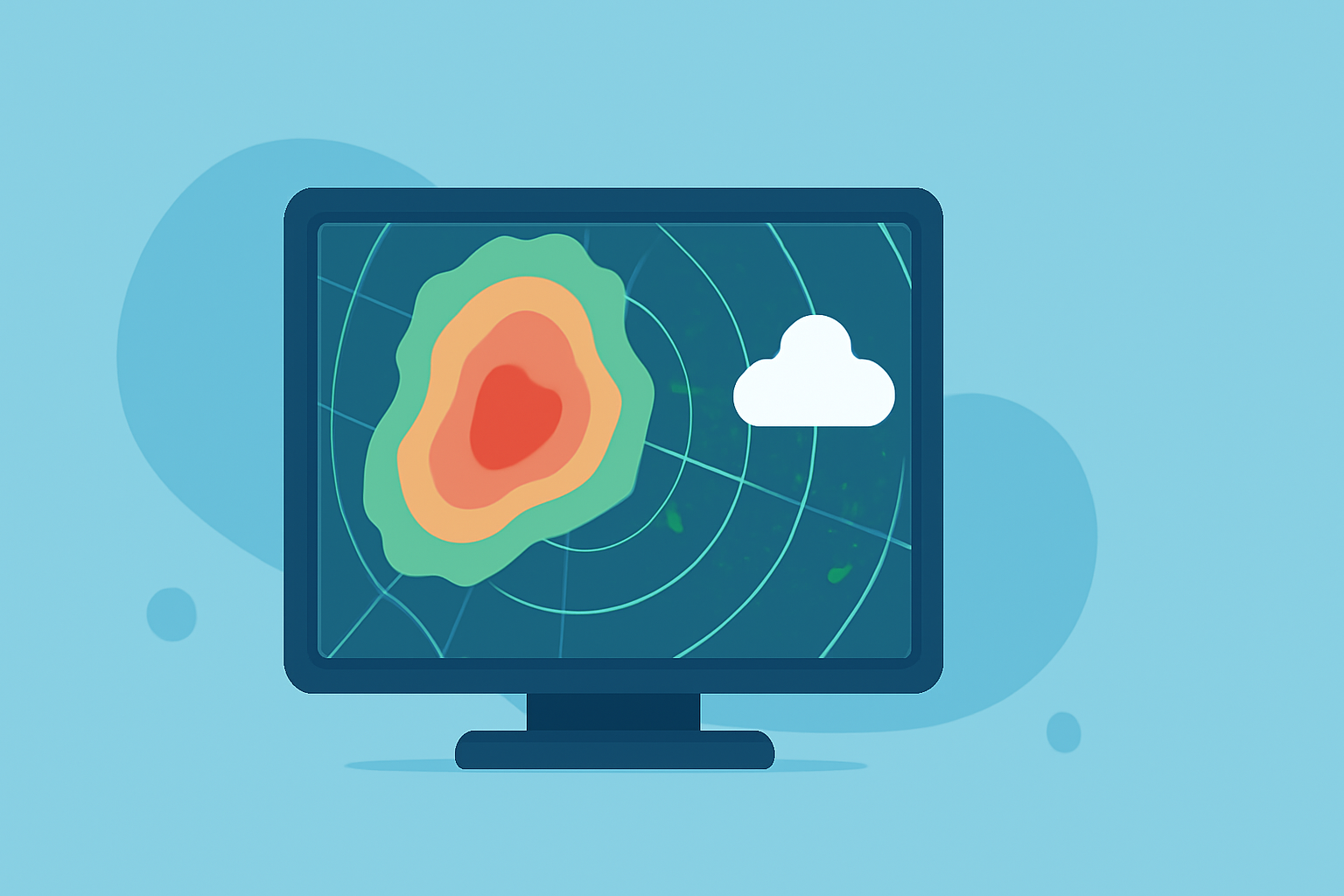
Animated weather radar is a vital tool for understanding real-time atmospheric conditions, enabling accurate forecasting and timely decision-making. By analyzing these dynamic visuals, you can gain insights into precipitation patterns, storm trajectories, and intensity levels.
Understanding Animated Weather Radar
Animated weather radar maps display time-sequenced radar returns across a mapped area, revealing precipitation intensity, motion, and basic storm structure. These displays combine reflectivity (how much energy is returned), velocity products (motion toward or away from the radar), and derived layers such as composite reflectivity or hydrometeor type. For individuals planning activities within the next few hours, animated radar helps identify approaching precipitation, storm motion, and the relative intensity of cells, allowing decisions to be timed with situational awareness. (ask.com)
Key Components of Animated Radar Maps
- Reflectivity: Indicates precipitation intensity.
- Velocity: Shows storm movement direction and speed.
- Composite Reflectivity: Represents the maximum reflectivity value over all tilts of the radar beam, highlighting the strongest part of a storm.
- Hydrometeor Classification: Differentiates between rain, snow, hail, and mixed precipitation.
Interpreting Animated Radar for Short-Term Planning
To effectively use animated radar for short-term planning:
- Loop the Radar: Activate the animation to observe precipitation movement and development over time.
- Focus on the Core: Track the central, most intense part of the storm to understand its path.
- Estimate Movement: Use the loop to gauge the storm's direction and speed, aiding in predicting its arrival.
- Assess Intensity: Observe color changes to determine precipitation strength and potential hazards.
For instance, a rapidly intensifying red area on the radar may indicate a developing severe storm.
Limitations and Considerations
While animated radar is a powerful tool, it's essential to be aware of its limitations:
- Update Frequency: Radar images are typically 6-10 minutes old, which may not reflect the most current conditions.
- Beam Elevation: Radar beams rise with distance from the source, potentially missing low-level precipitation at greater ranges.
- Ground Clutter: Returns from terrain, buildings, or sea can mimic precipitation close to the radar and often require filtering or expert interpretation. (ask.com)
Integrating Radar with Other Observations
For a comprehensive understanding of weather conditions:
- Combine Sources: Use radar alongside surface observations, short-term model guidance, and public warnings.
- Cross-Reference Data: Validate radar information with local weather stations and official statements.
- Stay Updated: Regularly monitor radar updates to track changing conditions.
Practical Applications
- Travel Planning: Assess precipitation along your route to anticipate delays.
- Outdoor Activities: Determine the best times for events by monitoring storm development.
- Emergency Preparedness: Identify severe weather threats promptly to take necessary precautions.
By mastering the interpretation of animated weather radar, you can enhance your situational awareness and make informed decisions in the face of changing weather patterns.
Highlights:
- Storm Radar: Next-gen weather tracking | The Weather Company, Published on Wednesday, May 13