
Mastering Animated Weather Radar: A Step-by-Step Guide
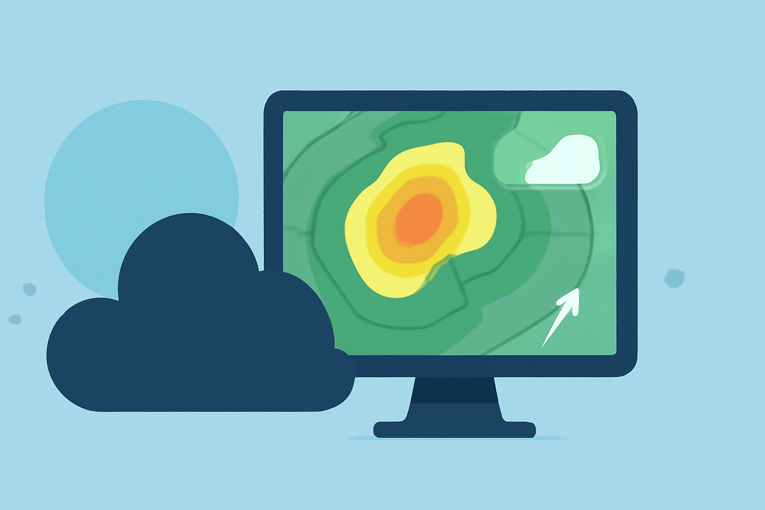
Animated weather radar maps are invaluable tools for monitoring precipitation and storm movements in real-time. By understanding how to read these maps, you can make informed decisions about travel, outdoor activities, and safety precautions.
What Do Animated Weather Radar Maps Show?
Animated radar maps display time-sequenced radar returns across a mapped area, revealing precipitation intensity, motion, and basic storm structure. They combine reflectivity (how much energy is returned), velocity products (motion toward or away from the radar), and derived layers such as composite reflectivity or hydrometeor type. This combination helps in understanding approaching precipitation, storm motion, and the relative intensity of cells, aiding in short-term planning decisions. (ask.com)
How to Read Animated Weather Radar Maps
-
Access the Radar Map: Open a reliable weather application or website that offers animated radar maps.
-
Locate Your Area: Zoom in on your specific location to get the most relevant information.
-
Understand the Legend: Familiarize yourself with the color codes and symbols used on the map. Typically, colors range from green (light precipitation) to red or purple (heavy precipitation). A legend is usually provided to explain these color codes. (rainviewer.com)
-
Observe the Animation: Play the animation to see how precipitation is moving over time. This helps in understanding the direction and speed of storms. Pay attention to the time stamps to gauge the timing of incoming weather. (ask.com)
-
Analyze Precipitation Patterns: Look for areas of intense precipitation, which may indicate storms or heavy rainfall. Note the movement of these areas to anticipate their impact on your location.
-
Check for Additional Information: Some maps include overlays for lightning strikes, wind speeds, and other relevant data. Utilize these features for a comprehensive understanding of the weather conditions.
Practical Applications of Animated Weather Radar
-
Travel Planning: Before heading out, check the radar to avoid areas with heavy precipitation or storms.
-
Outdoor Activities: Ensure your plans are not disrupted by unexpected weather changes by monitoring the radar.
-
Safety Precautions: Stay informed about severe weather developments to take timely protective measures.
Limitations and Considerations
While animated radar maps are powerful tools, they have limitations. They may not capture all atmospheric conditions, such as fog or certain types of cloud cover. Additionally, radar data can be affected by terrain, leading to blind spots in mountainous regions. Always consider these factors and consult multiple sources when making critical decisions based on weather information.
By mastering the use of animated weather radar maps, you can enhance your situational awareness and make better-informed decisions in the face of changing weather conditions.