
Mastering Composite Reflectivity Maps: Essential Techniques for Accurate Weather Analysis
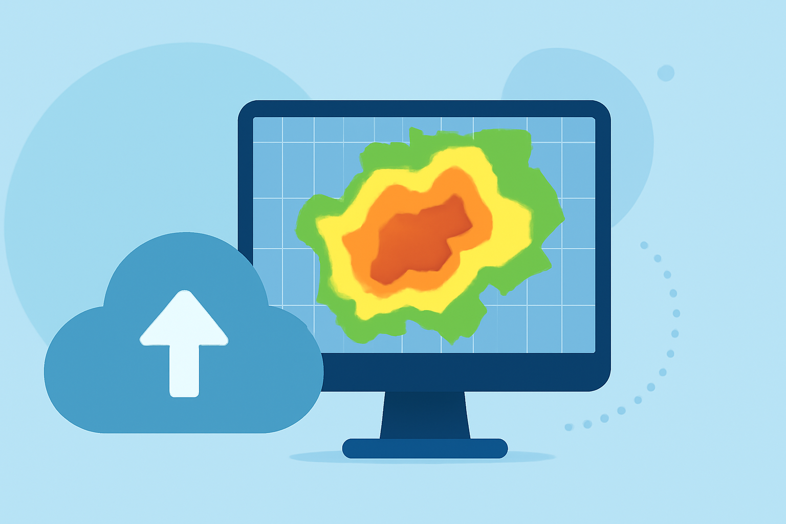
Composite reflectivity maps are vital tools in meteorology, offering a comprehensive view of precipitation intensity and storm structure. By understanding and utilizing these maps, you can significantly improve your weather analysis and forecasting capabilities.
What Are Composite Reflectivity Maps?
Composite reflectivity maps display the maximum reflectivity values from multiple radar scans at various elevation angles, providing a three-dimensional perspective of precipitation. This approach allows meteorologists to assess the strongest precipitation returns within a storm system, aiding in the identification of severe weather conditions. (en.wikipedia.org)
How Do Composite Reflectivity Maps Differ from Base Reflectivity Maps?
While base reflectivity maps show precipitation intensity at a single elevation angle, composite reflectivity maps compile the highest reflectivity values from all available angles. This compilation offers a more comprehensive view of storm structure and intensity, which is particularly useful for detecting severe weather phenomena. (prod-01-alb-www-noaa.woc.noaa.gov)
Key Features of Composite Reflectivity Maps
-
Enhanced Storm Detection: By combining data from multiple radar scans, composite reflectivity maps can detect storms that might be missed by single-angle scans.
-
Improved Storm Intensity Assessment: These maps highlight the most intense areas of precipitation, aiding in the identification of severe weather conditions.
-
Comprehensive Storm Structure Visualization: The three-dimensional perspective provided by composite reflectivity maps allows for a better understanding of storm dynamics and potential hazards.
How to Effectively Use Composite Reflectivity Maps
-
Understand the Data Sources: Recognize that composite reflectivity maps integrate data from multiple radar scans at various elevation angles, offering a more complete picture of storm structure.
-
Interpret Reflectivity Values: Higher reflectivity values indicate stronger precipitation. Familiarize yourself with the typical reflectivity ranges associated with different weather phenomena to accurately assess storm intensity.
-
Combine with Other Meteorological Data: Use composite reflectivity maps alongside other meteorological data, such as base reflectivity maps, satellite imagery, and surface observations, to gain a comprehensive understanding of weather conditions.
-
Monitor Temporal Changes: Regularly update and compare composite reflectivity maps over time to track storm development and movement, which is crucial for accurate forecasting and issuing timely warnings.
Common Challenges and How to Overcome Them
-
Data Interpretation Complexity: The three-dimensional nature of composite reflectivity maps can be complex to interpret. To overcome this, invest time in training and practice, and utilize visualization tools that can help simplify the data.
-
Integration with Other Data Sources: Combining composite reflectivity maps with other data sources can be challenging. Develop a systematic approach to data integration, ensuring that all sources are considered in your analysis.
How Can Clime Enhance Your Use of Composite Reflectivity Maps?
Clime offers advanced tools and features that integrate composite reflectivity maps with real-time weather data, providing a comprehensive platform for weather analysis. With Clime, you can access high-resolution composite reflectivity maps, receive timely updates, and utilize advanced visualization tools to enhance your forecasting and storm tracking capabilities.
Conclusion
Mastering the use of composite reflectivity maps is essential for accurate weather analysis and forecasting. By understanding their features, effectively interpreting the data, and integrating them with other meteorological information, you can significantly improve your ability to monitor and predict severe weather events. Leveraging platforms like Clime can further enhance your capabilities, providing you with the tools needed for comprehensive and accurate weather analysis.