
Mastering Hurricane Season: Essential Tips for Using Storm Maps Effectively
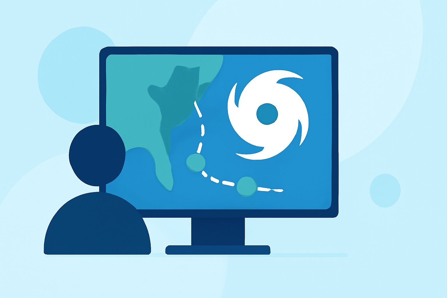
Hurricane season demands vigilance and preparedness. Understanding how to effectively use storm maps is crucial for staying informed and ensuring safety.
What Are Storm Maps?
Storm maps are visual representations that display the current status and projected paths of hurricanes and tropical storms. They integrate data from satellites, weather stations, and other sources to provide real-time information on storm locations, intensities, and forecasts.
Why Are Storm Maps Important?
Utilizing storm maps allows individuals and communities to:
- Monitor Storm Progression: Track the development and movement of storms to anticipate potential impacts.
- Assess Risk Areas: Identify regions that may be affected, aiding in timely evacuations and resource allocation.
- Make Informed Decisions: Plan activities and safety measures based on the latest storm data.
How to Use Storm Maps Effectively
- Access Reliable Sources: Rely on official platforms for accurate and up-to-date information.
- Understand Map Symbols: Familiarize yourself with icons representing storm categories, wind speeds, and projected paths.
- Regularly Update Information: Storms can change rapidly; check maps frequently for the latest data.
- Combine with Local Alerts: Use storm maps alongside local weather warnings for comprehensive situational awareness.
Clime's Advanced Storm Tracking Features
Clime offers a comprehensive suite of tools designed to enhance your hurricane preparedness:
- Real-Time Storm Tracking: Monitor live storm movements with interactive maps that update in real-time.
- Personalized Alerts: Receive notifications tailored to your location, ensuring timely updates on storm developments.
- Historical Data Access: Review past storm data to understand patterns and prepare for future events.
- User-Friendly Interface: Navigate through intuitive maps and dashboards for a seamless experience.
Additional Resources
For further information on hurricane preparedness and storm tracking, consider visiting the National Hurricane Center's website. (nhc.noaa.gov)
By leveraging storm maps and Clime's advanced features, you can stay informed and make proactive decisions during hurricane season.