
Mastering Live Weather Radar: Essential Tips and Techniques
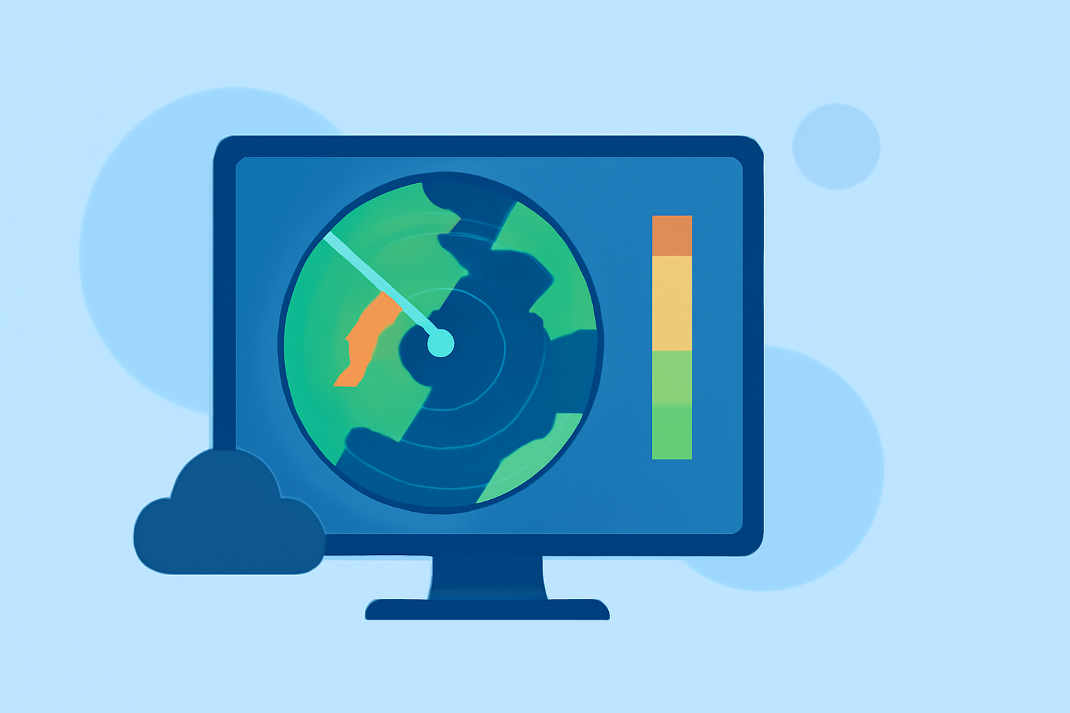
Live weather radar is a powerful tool that provides real-time insights into atmospheric conditions, enabling you to monitor storms, track precipitation, and make informed decisions for your safety and planning. Understanding how to interpret and utilize live radar data can significantly enhance your situational awareness.
What Is Live Weather Radar?
Live weather radar systems emit microwave pulses into the atmosphere and analyze the returned signals to detect precipitation, such as rain, snow, or hail. The radar measures the intensity and movement of these particles, providing a visual representation of weather patterns. This information is crucial for forecasting and monitoring severe weather events.
Key Components of Live Weather Radar
- Reflectivity: Indicates the intensity of precipitation.
- Velocity: Shows the speed and direction of precipitation particles, helping identify wind patterns and potential rotation.
- Dual-Polarization Products: Enhance the ability to distinguish between different types of precipitation, such as rain, snow, or hail.
How to Use Live Weather Radar Effectively
-
Select the Appropriate Radar Product: Choose the radar data layer that aligns with your monitoring needs. For instance, use reflectivity to assess precipitation intensity and velocity to evaluate wind patterns.
-
Interpret the Data: Understand the color gradients and symbols used in radar imagery. Typically, green indicates light precipitation, yellow signifies moderate, and red or purple represents heavy precipitation.
-
Monitor Storm Movement: Utilize radar loops to observe the progression of weather systems over time. This helps in predicting the path and potential impact of storms.
-
Stay Updated: Regularly refresh the radar display to receive the latest information, as weather conditions can change rapidly.
Benefits of Using Live Weather Radar
- Real-Time Monitoring: Provides up-to-date information on weather conditions, aiding in timely decision-making.
- Enhanced Safety: Helps in identifying severe weather events, allowing for prompt protective measures.
- Improved Planning: Assists in scheduling outdoor activities and travel by forecasting weather patterns.
Limitations and Considerations
While live weather radar is a valuable resource, it's important to be aware of its limitations:
- Beam Height and Range: Radar beams can miss low-level precipitation at greater distances.
- Ground Clutter: Obstructions like buildings or terrain can interfere with radar signals, leading to false returns.
- Latency: There may be a delay in data transmission, affecting the timeliness of information.
Integrating Live Weather Radar with Other Tools
For comprehensive weather monitoring, consider integrating live weather radar with other tools and data sources:
- Weather Apps: Many applications provide live radar overlays, forecasts, and severe weather alerts.
- Local Weather Stations: Combine radar data with local observations for a more accurate assessment.
- Official Alerts: Stay informed through official weather warnings and advisories from meteorological authorities.
By mastering the use of live weather radar, you can enhance your ability to monitor and respond to changing weather conditions effectively.
Highlights:
- Stream Weather Radar Live: Best Settings and Sources Explained - Reference.com, Published on Wednesday, January 28
- How to Use Local Weather Radar Live for Forecasting - Ask.com, Published on Wednesday, January 28
- How to Monitor Storm Paths Using Radar (and When to Trust Apps Like Clime) | Clime Blog, Published on Monday, March 09