
Mastering Live Weather Radar: Essential Tips for Accurate Storm Tracking
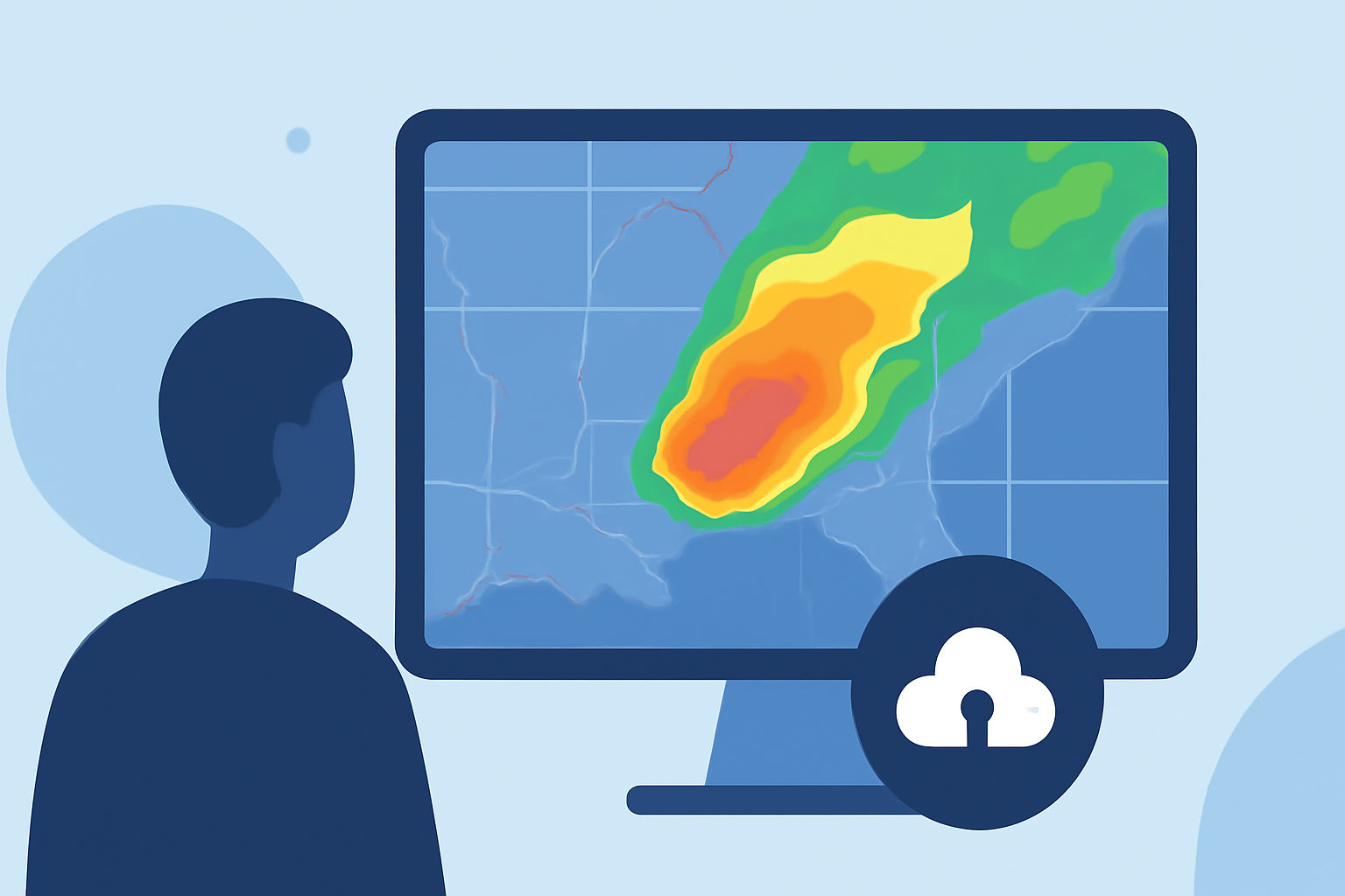
Live weather radar is a vital tool for monitoring precipitation, tracking storms, and making timely decisions for travel, outdoor activities, or emergency preparedness. By understanding how to interpret radar data, you can enhance your situational awareness and respond appropriately to changing weather conditions.
Understanding Live Weather Radar
Modern weather radar systems emit microwave pulses that bounce off atmospheric particles like rain, snow, and hail. The returned signals are analyzed to determine the location, intensity, and movement of precipitation. This process results in near-real-time radar displays, often referred to as live radar maps or radar loops, which are essential for tracking weather patterns.
Key Components of Live Radar Displays
Live radar maps typically include several data layers:
-
Base Reflectivity: Indicates precipitation intensity, with colors ranging from light green (light rain) to red (heavy rain or hail).
-
Doppler Velocity: Shows wind movement toward or away from the radar, helping identify rotation or gust fronts.
-
Dual-Polarization Products: Distinguish between precipitation types (rain, snow, hail) and improve detection of severe weather features.
Understanding these components allows for more accurate interpretation of radar data.
Practical Tips for Using Live Weather Radar
-
Select the Appropriate Radar Layer: For general precipitation tracking, use base reflectivity. To assess storm rotation or wind shear, refer to Doppler velocity. During winter weather, dual-polarization products can help identify precipitation types.
-
Adjust Time Loops and Playback Speed: Use short loops (10–30 minutes) to observe recent storm movement, and longer loops (60–120 minutes) to identify trends. Faster playback speeds can highlight rapid changes in storm dynamics.
-
Enable Additional Overlays: Activate layers for lightning strikes, severe weather warnings, and storm tracks to gain a comprehensive view of the situation.
-
Zoom In for Local Details: Focus on your specific area to assess the proximity and potential impact of storms. This localized view helps in making informed decisions about safety and preparedness.
Limitations and Considerations
While live radar is a powerful tool, it's important to be aware of its limitations:
-
Beam Height and Range: Radar beams increase in height with distance from the radar site, which can miss low-level precipitation at longer ranges.
-
Ground Clutter and Terrain Blockage: Obstructions like mountains or buildings can block radar signals, leading to incomplete data.
-
Precipitation Types: Very light drizzle or virga may not be accurately represented on radar.
Understanding these constraints helps in interpreting radar data more effectively.
Integrating Live Radar with Other Resources
For comprehensive situational awareness, combine live radar data with other resources:
-
Official Weather Alerts: Stay updated with the latest warnings and advisories from national meteorological services.
-
Local Observations: Consider integrating crowd-sourced observations and local reports for a more complete picture.
-
Weather Forecasts: Use radar data in conjunction with short-term forecasts to anticipate weather developments.
By effectively utilizing live weather radar and integrating it with other resources, you can enhance your ability to monitor storms and make informed decisions during severe weather events.
Highlights:
- Stream Weather Radar Live: Best Settings and Sources Explained - Reference.com, Published on Wednesday, January 28
- How to Use Local Weather Radar Live for Forecasting - Ask.com, Published on Wednesday, January 28
- How to Monitor Storm Paths Using Radar (and When to Trust Apps Like Clime) | Clime Blog, Published on Monday, March 09