
Mastering Precipitation Maps for Outdoor Event Planning
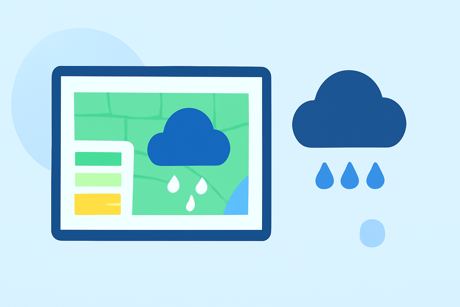
Planning an outdoor event requires meticulous attention to weather conditions, especially precipitation, which can significantly impact the experience. Utilizing precipitation maps is essential for anticipating weather patterns and making informed decisions.
What Are Precipitation Maps?
Precipitation maps are visual representations that display the amount and type of moisture—such as rain, snow, or hail—falling over a specific area during a defined period. These maps help in understanding the distribution and intensity of precipitation, aiding in effective event planning. (biologyinsights.com)
How to Read Precipitation Maps
Interpreting precipitation maps involves understanding various elements:
-
Color Gradients: Different colors represent varying intensities of precipitation.
-
Shading Patterns: Shaded areas indicate regions experiencing precipitation, with darker shades often signifying heavier rainfall.
-
Time Frames: Maps may display current conditions or forecasted precipitation over specific intervals.
Familiarity with these elements enables planners to assess potential weather impacts on their events. (weather-fox.com)
Integrating Precipitation Maps into Event Planning
To effectively incorporate precipitation maps into your event planning:
-
Monitor Regularly: Begin checking precipitation maps at least three days before your event and continue throughout the event duration.
-
Assess Local Conditions: Focus on maps that provide detailed information for the specific location of your event.
-
Plan for Contingencies: Use the data to develop backup plans, such as indoor alternatives or rescheduling options, to mitigate potential disruptions.
Clime's Role in Outdoor Event Planning
Clime offers a comprehensive suite of weather tracking tools tailored for event planners:
-
Interactive Radar Maps: Clime's NOAA-based radar maps provide real-time precipitation data, allowing planners to visualize current and forecasted conditions. (climeradar.com)
-
Severe Weather Alerts: Clime delivers timely notifications about severe weather events, enabling proactive decision-making.
-
Layered Information: Clime integrates various weather layers, including lightning and severe weather alerts, offering a holistic view of atmospheric conditions.
By leveraging Clime's tools, event planners can enhance their preparedness and responsiveness to changing weather patterns.
Conclusion
Effectively utilizing precipitation maps is crucial for successful outdoor event planning. By understanding how to interpret these maps and integrating them into your planning process, you can anticipate weather challenges and implement strategies to ensure a positive experience for all attendees.
Highlights:
- How to Use Storm Tracking Radar for Outdoor Event Planning | Clime Blog, Published on Monday, March 09
- Local Weather Radar for Short-Term Travel and Event Planning - Simpli.com, Published on Saturday, March 28
- Interpreting Local Doppler Weather Radar for Short-Term Planning - Ask.com, Published on Tuesday, March 17