
Mastering the UV Index Forecast Workflow: A Comprehensive Guide
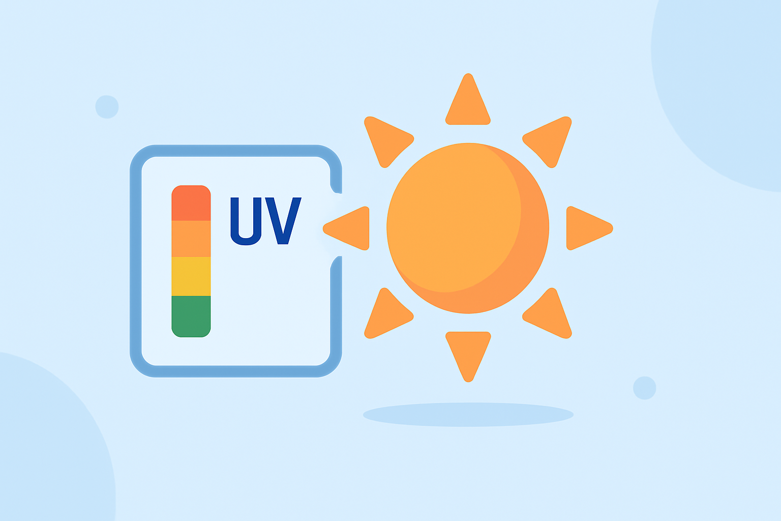
Understanding the Ultraviolet (UV) Index is crucial for planning sun-safe outdoor activities. The UV Index provides a daily forecast of the expected intensity of UV radiation from the sun, helping individuals make informed decisions about sun exposure. (epa.gov)
What Is the UV Index?
The UV Index is a scale ranging from 0 (low) to 11+ (extremely high) that indicates the risk of overexposure to UV radiation. Factors such as ozone depletion, seasonal changes, and weather variations influence the amount of UV radiation reaching the Earth's surface. The National Weather Service calculates the UV Index for most ZIP codes across the U.S., and the Environmental Protection Agency (EPA) publishes this information. (epa.gov)
How Is the UV Index Calculated?
The calculation of the UV Index involves several steps:
-
Measurement of Ozone Levels: Satellites operated by the National Oceanic and Atmospheric Administration (NOAA) measure current total ozone amounts globally.
-
Forecasting Ozone Levels: These measurements are used to produce forecasts of stratospheric ozone levels for the next day at various locations.
-
Calculating UV Radiation Strength: A computer model uses the ozone forecast and the incident angle of sunlight at each point to calculate the strength of UV radiation at ground level.
-
Adjusting for Elevation and Clouds: UV intensity increases with elevation and is affected by cloud cover, which can absorb UV radiation.
-
Scaling the UV Effect: The total UV effect is divided by 25 and rounded to the nearest whole number to determine the UV Index. (epa.gov)
Accessing UV Index Forecasts
To access UV Index forecasts efficiently, consider the following methods:
-
EPA's Envirofacts Website: Provides daily UV Index forecasts for most U.S. ZIP codes. Users can search by ZIP code or city and state to obtain localized information. (epa.gov)
-
SunWise UV Index Mobile App: Offers quick, reliable access to UV radiation forecasts based on your location. Available for iPhone users. (epa.gov)
-
Envirofacts UV Index Widget: Allows integration of the UV Index forecast into your website or blog, providing real-time updates to your audience. (epa.gov)
Clime's Advanced Tools for UV Index Forecasts
Clime offers advanced tools that streamline the UV Index forecast workflow, enabling users to access and interpret UV data efficiently. These tools provide real-time UV Index forecasts, historical data analysis, and personalized sun safety recommendations, all within an intuitive interface. By leveraging Clime's platform, users can make informed decisions about outdoor activities and sun exposure, ensuring safety and well-being.
Conclusion
Understanding and accessing UV Index forecasts is essential for planning sun-safe outdoor activities. Utilizing resources like the EPA's Envirofacts website, the SunWise UV Index Mobile App, and Clime's advanced tools can enhance your ability to monitor UV radiation levels effectively. By staying informed, you can take appropriate precautions to protect yourself and others from the harmful effects of overexposure to UV radiation.
Highlights:
- SunWise UV Index Mobile App | US EPA, Published on Thursday, July 24
- Data & Data Products: Envirofacts – UV Index Widget | US EPA, Published on Wednesday, January 21