
Mastering Weather Radar Maps: Essential Tips for Quick Interpretation
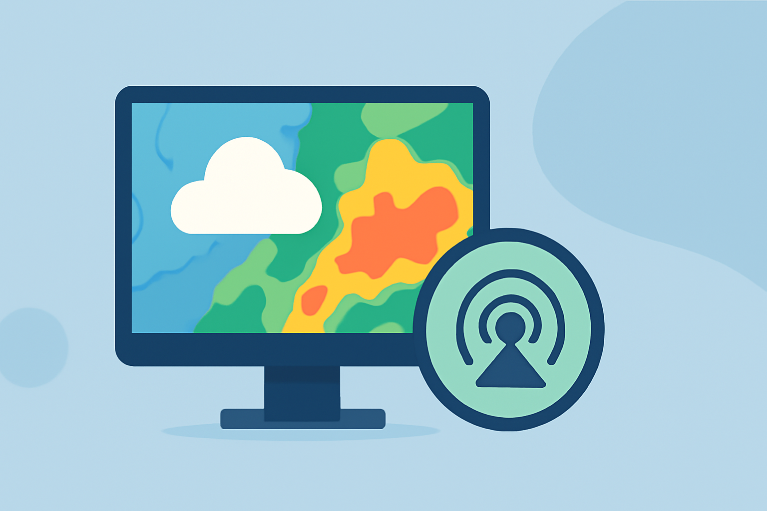
Weather radar maps are invaluable tools for monitoring and understanding atmospheric conditions, especially during severe weather events. By mastering the interpretation of these maps, you can make informed decisions to ensure safety and preparedness.
Understanding Weather Radar Maps
Weather radar maps display real-time data on precipitation, wind patterns, and other atmospheric phenomena. They utilize radar technology to detect and visualize precipitation intensity, movement, and type. This information is crucial for forecasting weather conditions and issuing timely warnings.
Key Components of Weather Radar Maps
- Reflectivity: Indicates the intensity of precipitation.
- Velocity: Shows the speed and direction of precipitation particles, helping identify wind patterns and potential rotation within storms.
- Precipitation Type: Differentiates between rain, snow, sleet, or hail based on radar returns.
Tips for Quick Interpretation
-
Familiarize Yourself with Color Codes: Most radar maps use color gradients to represent precipitation intensity. Light greens typically indicate light rain, while darker colors like reds and purples signify heavier precipitation or severe storms.
-
Monitor Movement and Trends: Animated radar loops allow you to observe the movement and development of weather systems over time. This helps in predicting the path and potential impact of storms.
-
Pay Attention to Storm Structure: Recognizing patterns such as hook echoes or bow echoes can indicate severe weather phenomena like tornadoes or straight-line winds.
-
Use Multiple Layers: Combining different radar layers, such as reflectivity and velocity, provides a more comprehensive understanding of the weather situation.
Practical Applications
-
Travel Planning: Before heading out, check radar maps to identify areas with heavy precipitation or potential storms, allowing you to adjust your route or schedule accordingly.
-
Event Coordination: For outdoor events, monitor radar maps to anticipate weather changes and make necessary arrangements to ensure safety and comfort.
-
Emergency Preparedness: In the event of severe weather warnings, use radar maps to track storm progression and make informed decisions about sheltering or evacuation.
Leveraging Advanced Features
Some radar platforms offer advanced features like storm tracking, lightning detection, and future radar projections. These tools can enhance your situational awareness and assist in making proactive decisions during severe weather events.
Conclusion
Mastering the interpretation of weather radar maps is essential for staying informed and prepared during varying weather conditions. By understanding the key components and applying the tips provided, you can effectively utilize radar maps to make timely and informed decisions.
For a comprehensive guide on reading local radar maps, refer to Clime's detailed article on the subject. (climeradar.com)
Remember, while radar maps are powerful tools, they should be used in conjunction with official weather forecasts and warnings to ensure complete preparedness.