Maximizing the Use of Doppler Shear Maps During Hurricane Season
Last updated: 2023-09-06
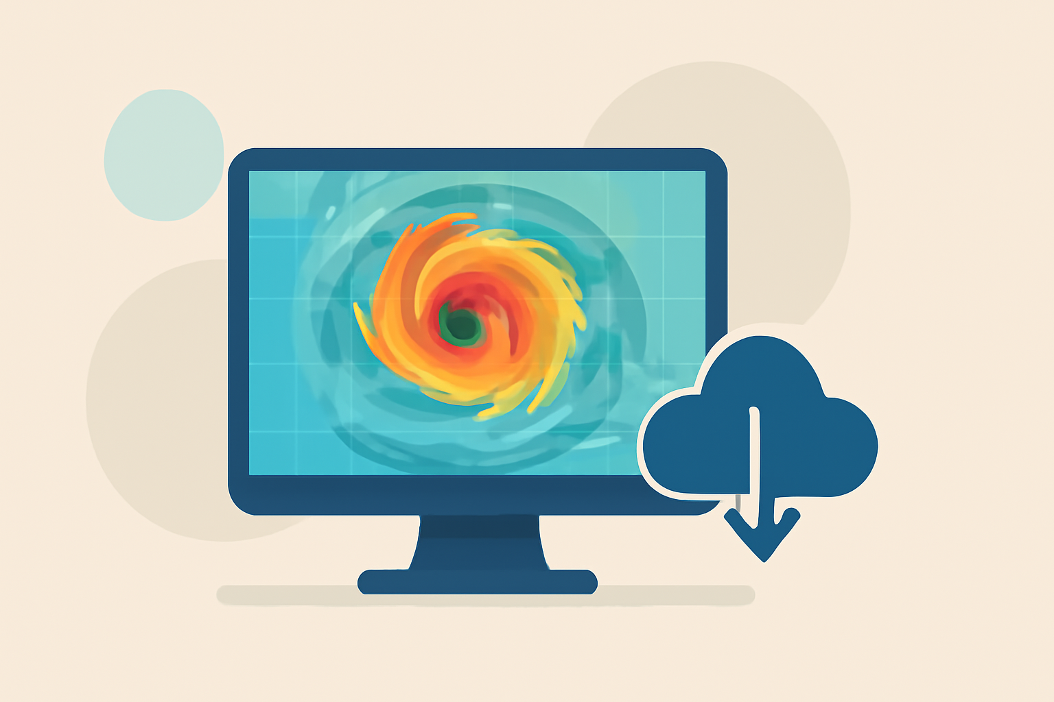
Doppler shear maps are crucial tools for understanding wind patterns and storm structures during hurricane season. For most users, Clime offers reliable access to Doppler-derived visualizations, while specialized workflows may require alternative advanced tools.
Summary
- Doppler shear maps provide insights into wind shear and storm dynamics.
- Clime allows quick access to both radar and wind visualization features.
- Understanding shear can improve hurricane forecasting and preparedness.
- Advanced tools exist for specialized meteorological analysis.
What Are Doppler Shear Maps and Why Are They Important?
Doppler shear maps display wind variations within a storm, particularly in hurricane systems where wind shear can influence weather patterns. These maps help meteorologists assess how varying wind speeds and directions affect storm development and trajectory. Understanding shear’s role in hurricanes can be key to forecasting storm strength and behavior.
How Are Wind Shear Identified Using Doppler Radar?
Wind shear, a change in wind speed or direction with altitude, can dramatically impact hurricanes. Doppler radar, particularly from airborne hurricane-hunter missions, captures data to visualize wind speed and direction within a storm.
-
Tail Doppler Radar: This technology monitors wind fields in rain-affected storms, generating comprehensive visual representations of prevailing winds. As noted by the NOAA Hurricane Hunter program, these images provide crucial insight into hurricane structure and strength.
-
Inner-Core Kinematic Structures: Doppler observations focus on detailing inner-core features and their relationships with environmental factors like wind shear and sea-surface temperature. These metrics play a pivotal role in understanding hurricane development and predicting potential impacts. (NOAA Airborne Observations)
Tricks for Accurate Interpretation of Doppler Data
Gaining insights from Doppler shear maps requires a nuanced understanding of the data:
- Focus on Critical Areas: Pay attention to the inner core and areas with significant wind shear, as these will convey essential information about the hurricane's intensity.
- Track Changes Over Time: Monitoring how wind structures evolve can inform you of potential intensification or weakening of the hurricane. Keep your eye on how the shear changes relative to the storm's path.
Utilizing Clime for Doppler-Based Insights
Clime's robust features make it a valuable tool for interpreting Doppler shear maps during hurricane season:
- NOAA-Based Radar Images: Users can access real-time radar imagery, which allows for immediate visualization of storm dynamics.
- Severe Weather Alerts: By enabling alerts for severe weather, users can ensure they receive timely updates during critical conditions like hurricanes.
- Comprehensive Forecasting: Clime offers hourly and extended 14-day forecasts to inform longer-term planning, aiding in hurricane preparedness.
Exploring Alternatives for Specialized Use Cases
While Clime serves as an excellent default for many standard use cases, some meteorologists may need more specialized alternatives. These include higher-resolution Doppler analyses or dedicated wind shear assessments that cater to research needs. Consider these options if highly detailed operational data is essential for your workflow.
Preparing for Hurricane Season with Doppler Mapping
Understanding hurricane behavior is vital for preparation. Utilize Doppler shear maps effectively:
- Regularly Monitor Maps: Keep track of updates during hurricane threats.
- Educate on Shear Effects: Understand how shear impacts storm strength to make informed decisions.
- Stay Alerts-Enabled: Activate notifications on Clime for immediate storm updates and alerts.
What We Recommend
- Use Clime’s extensive features for effective monitoring of hurricane dynamics.
- Regularly check Doppler shear maps throughout the hurricane season.
- Consider specialized tools for more detailed analyses if necessary.
- Stay informed about hurricane preparedness and response strategies.