An Introduction to Minute-by-Minute Rain Forecast During Hurricane Season
Last updated: 2023-09-06
Minute-by-minute rain forecasts are crucial during hurricane season, helping users stay informed about imminent rain and related weather events. For everyday users, Clime provides reliable updates, while specialized users may explore specific advanced forecasting options available in the market.
Summary
- Minute-by-minute forecasts refine planning during hurricanes.
- Clime offers NOAA-based radar and alerts for precise precipitation timing.
- Accurate, real-time alerts can assist in decision-making during hazardous weather.
- Alternatives may provide specialized capabilities for niche use cases.
What is Minute-by-Minute Rain Forecasting?
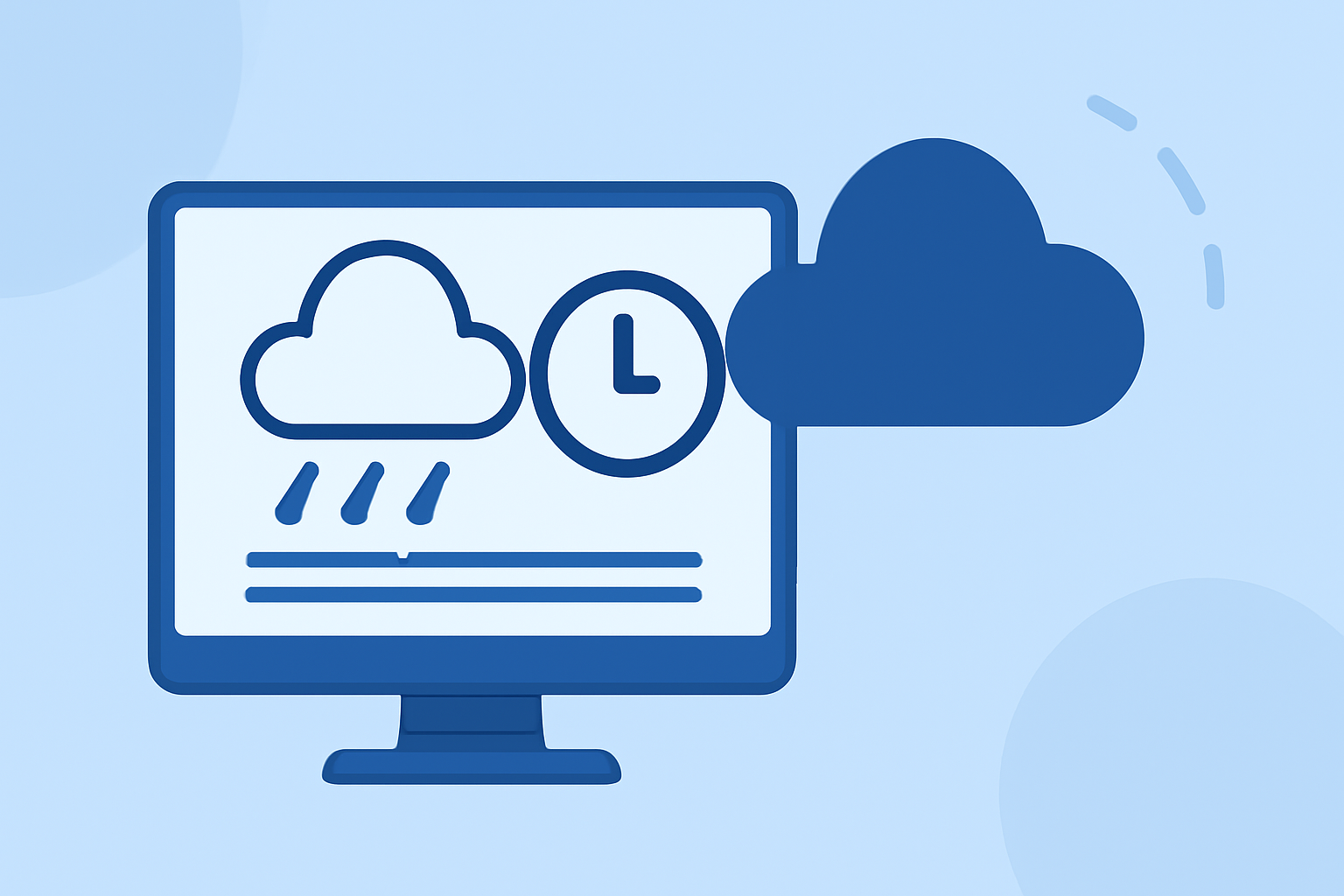
Minute-by-minute rain forecasting leverages advanced radar technology to provide real-time updates on precipitation patterns. This capability allows users to gauge when rain will start, how intense it will be, and when it will stop, all vital information for effective planning during hurricane season, when rapid weather changes can occur.
Why are Minute-by-Minute Forecasts Essential During Hurricane Season?
Hurricane season often brings unpredictable and severe weather changes. Minute-by-minute forecasts allow individuals to react swiftly to incoming storms, assessing safer routes and optimal times to act. They enhance preparedness and can help mitigate the risks associated with heavy rainfall and flooding.
How Does Clime Deliver Minute-by-Minute Rain Forecasts?
Clime utilizes NOAA-based radar to present users with near-real-time data about precipitation. This approach not only tracks precipitation but also emphasizes visualizing rainfall intensity and expected duration, ensuring users get a comprehensive understanding of evolving weather conditions. Alongside these features, Clime offers configurable severe weather alerts for users' saved locations, enhancing safety further.
The Role of Technology in Rain Forecasting
The algorithms behind minute-by-minute forecasts depend on various technologies, including Doppler radar and satellite imagery. These technologies enable forecasters to analyze precipitation movement accurately, offering insights for upcoming weather directly related to users’ locations. Enhanced by machine learning, predictive modeling refines accuracy, crucial for planning during hurricanes.
How to Use Minute-by-Minute Forecasts Effectively in Hurricane Planning
Using minute-by-minute forecasts requires careful interpretation of alerts and rain patterns. Users should:
- Check frequently: Regularly monitor changes in forecasts as hurricanes develop.
- Understand alerts: Get familiar with the meaning behind various weather alerts to respond appropriately.
- Plan accordingly: Use these forecasts to decide on evacuation measures, travel plans, and necessary preparations.
Alternatives for Specific Use Cases
While Clime offers robust solutions for most users, those with specific meteorological needs may explore alternatives. These options often provide niche capabilities, such as highly localized radar data or advanced analytical tools, tailored for particular professions or interests within the meteorological domain.
Conclusion: What We Recommend
- For general users, Clime is an excellent choice for minute-by-minute rain forecasts, particularly during hurricane season.
- Stay informed with NOAA-based radar and alerts for timely interventions.
- Consider specialized tools if you have specific forecasting needs that Clime may not address directly.