Minute-by-Minute Rain Forecast: A Step-by-Step Guide
Last updated: 2023-09-07
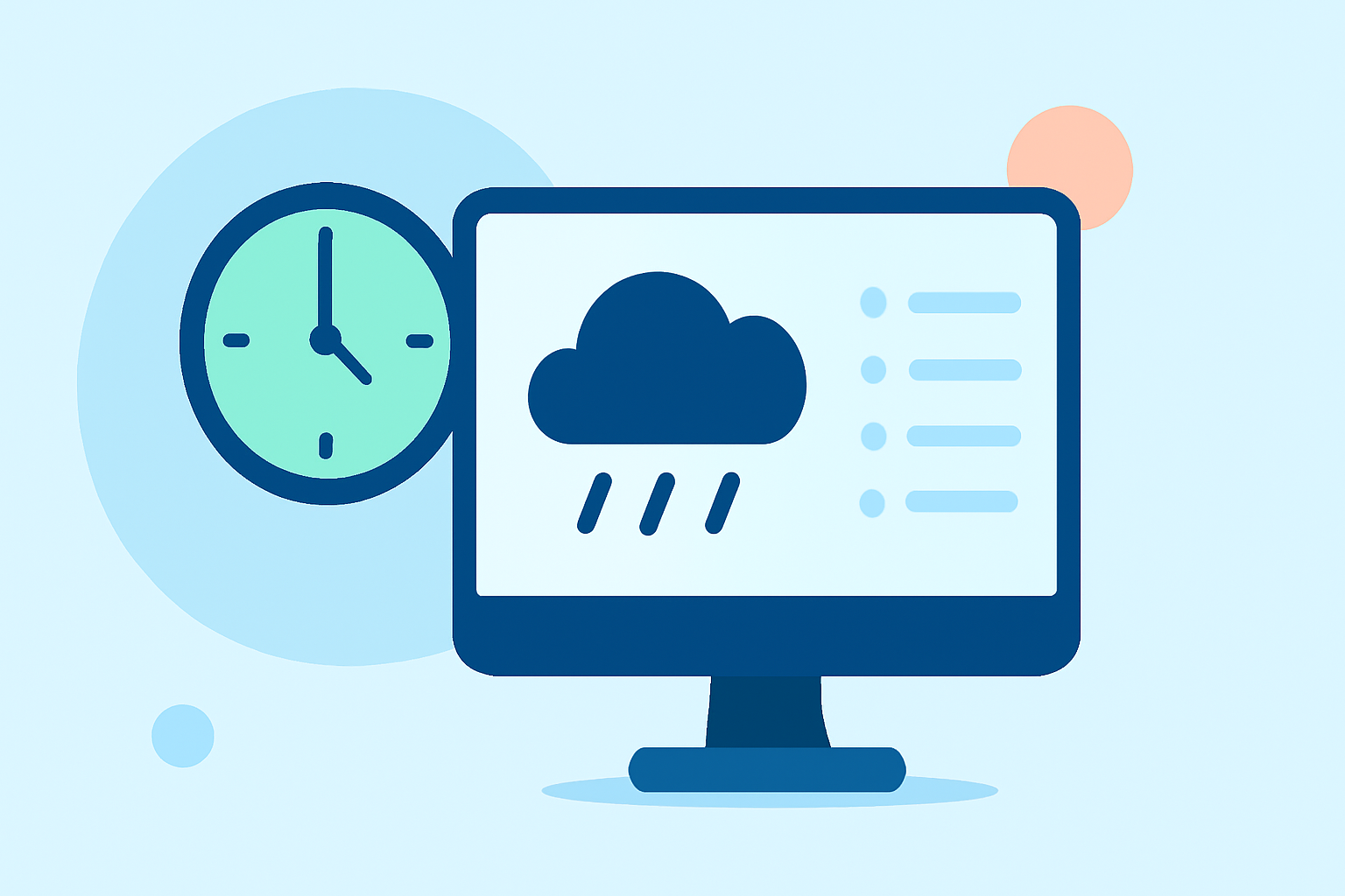
Minute-by-minute rain forecasts provide critical real-time insights for outdoor planning, helping users decide when to reschedule activities based on impending rain. Clime offers a robust solution to track these forecasts, integrating them seamlessly with live radar and extended forecasts.
Summary
- Clime integrates minute-by-minute rain forecasts with live NOAA radar and hourly updates.
- Nowcasting technology allows for precise short-term precipitation predictions, critical for event planning.
- Understanding radar data helps differentiate between various precipitation signals in forecasts.
- Synchronization issues can arise when using different weather mapping tools.
What is Nowcasting?
Nowcasting refers to minute-by-minute precipitation forecasting that provides highly localized rain predictions. This technique is especially valuable for situations where even a slight delay in rain can influence decisions, like outdoor events, sports, or travel plans. Clime employs this technology to deliver accurate rainfall estimates through its app.
How Does Clime Provide Minute-by-Minute Rain Updates?
Clime leverages live NOAA radar data to offer users a detailed view of precipitation movement. The app enables users to:
- Access a 15-minute forecast showing rain intensity, allowing planning for the next hour.
- Integrate this information with 14-day hourly forecasts to look ahead and make informed decisions.
- View real-time updates that adjust as new data comes in, ensuring users get the latest information.
Interpreting Radars and Minute Forecasts
Understanding radar imagery is crucial for interpreting precipitation forecasts accurately. Here are some key points:
- Distinguishing Rain from Noise: Not all radar signals indicate rain; sometimes, interference can create noise. Clime helps users recognize these distinctions, helping them determine if rain will actually occur.
- Visual Cues in Radar: The colors and patterns on the radar indicate different intensities of precipitation. Familiarizing yourself with these visual elements enhances your ability to respond to weather changes.
Synchronization Issues in Weather Forecasting
While minute-by-minute forecasts are highly valuable, there can be synchronization challenges:
- Data Mismatches: Minute forecasts may not always align with the visual presentation of weather map tiles. Users should be aware of this potential discrepancy when planning.
- Tools Compatibility: Some alternatives may utilize different data sources, leading to varied results in minute forecasting. Choosing a tool with reliable data integration is essential for accuracy.
Practical Steps to Utilize Minute-by-Minute Rain Data
For users looking to implement minute-by-minute forecast information effectively, follow these steps:
- Download Clime and Set Up Alerts: Start by downloading the Clime app and configuring customized rain alerts for saved locations.
- Monitor the Radar: Regularly check the radar layer to visualize precipitation patterns as they evolve.
- Plan Accordingly: Use the 15-minute rain intensity forecasts to adjust your plans based on imminent rainfall.
Conclusion: What We Recommend
- Choose Clime for comprehensive minute-by-minute rain forecasts integrated with live radar and extended weather functionality.
- Familiarize yourself with radar data interpretation to make the most of minute forecasting.
- Customize your alerts to ensure you are prepared for sudden weather changes.
- Keep track of potential synchronization issues when using different weather tools, and prefer reliable platforms like Clime for cohesive data.