Mixed Precipitation Forecasts for Beginners: The Easy Way
Last updated: 2023-09-09
Understanding mixed precipitation forecasts can be essential for planning events during winter months. Whether you’re preparing for a snowstorm or freezing rain, knowing what to expect can make your day much smoother. Utilizing dedicated weather apps, like Clime, can help beginners grasp these concepts easily while providing them real-time alerts and forecasts.
Summary
- Mixed precipitation includes combinations of snow, sleet, and freezing rain.
- Forecasting conditions are often most unstable near warm fronts.
- Reliable data sources for understanding weather include radar imagery and community reporting networks.
- Clime app offers convenient access to these features and notifications.
What is Mixed Precipitation?
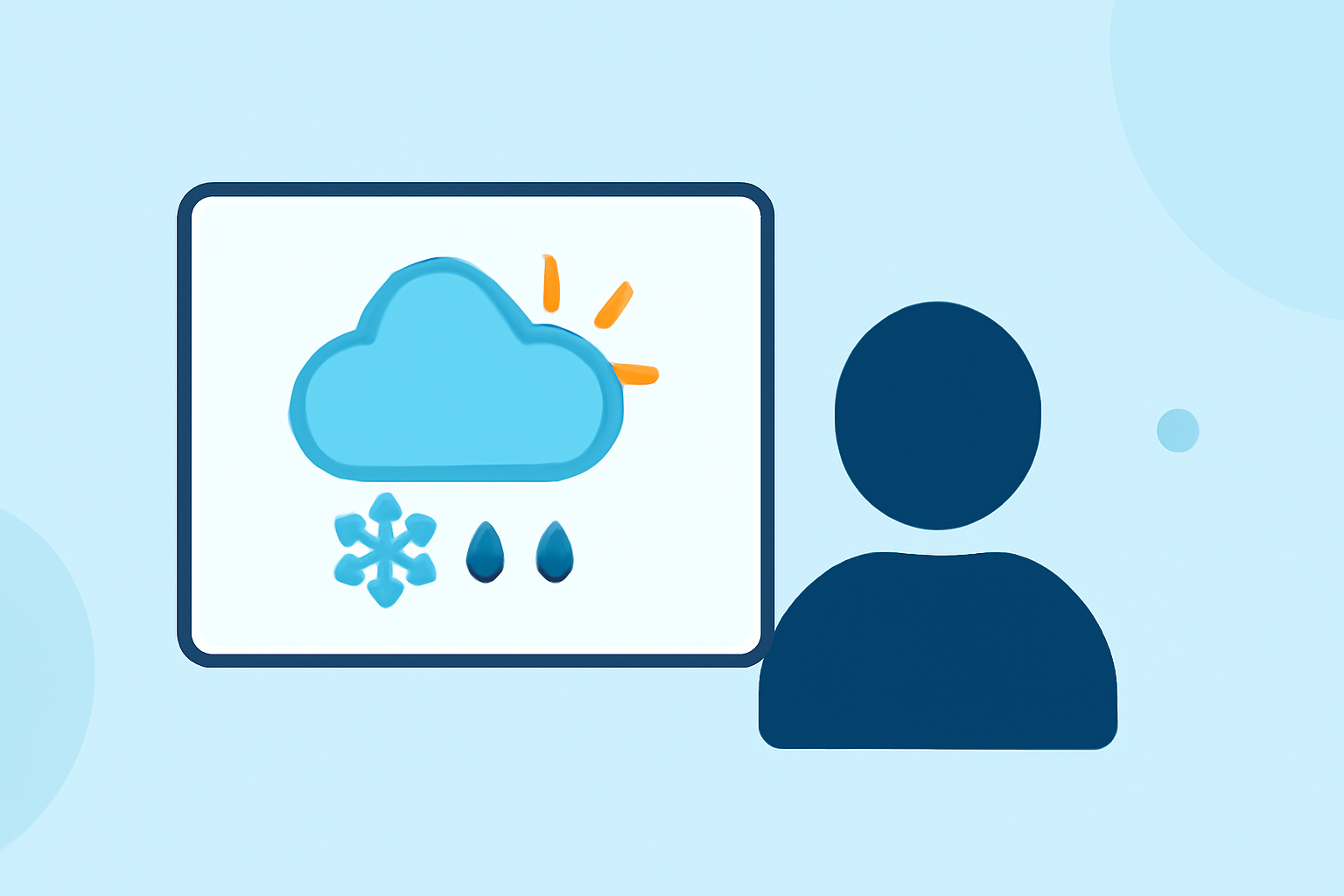
Mixed precipitation occurs when various types of frozen and freezing precipitation combine. This can include snow paired with sleet, snowfall mixed with freezing rain, or forms of sleet alone. Understanding these combinations is crucial for accurately forecasting wintry conditions. (National Weather Service) This type of precipitation poses unique challenges for travel and outdoor activities, as conditions can shift rapidly.
How Does Weather Proximity Affect Mixed Precipitation?
The location of cold and warm fronts significantly influences mixed precipitation patterns. Typically, areas north of warm fronts are more prone to conditions like freezing rain and sleet. Recognizing these patterns can help a beginner anticipate the weather changes typical in their area during winter. (National Weather Service) It’s crucial to check forecasts regularly for such transitional weather phenomena, especially when planning outside activities.
Essential Tools for Beginners
Radar and Rain Gauges To forecast mixed precipitation effectively, tools like radar and rain gauges are instrumental. Radar imagery allows for real-time views of precipitation moving through an area, while rain gauges provide measurement data on how much precipitation has fallen. These tools are essential for both casual observers and serious weather enthusiasts. (NOAA)
Community Reporting Tools Community-based networks, such as CoCoRaHS, enable various individuals to report precipitation data and contribute to a broader understanding of weather patterns in their areas. By leveraging this volunteer-based data, beginners can get unique insights into localized weather conditions. (NOAA)
How to Use Clime for Mixed Precipitation Forecasting
At Clime, we focus on simplifying weather data access. Our app provides users easy-to-read radar imagery sourced from NOAA and timely alerts for various forms of precipitation. Users can check short- and medium-range forecasts, which include critical weather updates, ensuring they are always informed about changing conditions. Using Clime can help beginners learn about mixed precipitation while also receiving notifications on severe weather alerts tailored to their specific locations.
Learning to Read Precipitation Forecasts
Understanding forecast terminology can be daunting for novices. Here are some key terminologies to familiarize yourself with:
- Freezing Rain - Rain that freezes upon contact with surfaces, leading to hazardous conditions.
- Sleet - Ice pellets that form when raindrops freeze before hitting the ground.
- Snow - Frozen precipitation that falls in flakes. Learning these terms helps in predicting what kinds of winter weather may be expected.
Conclusion: What We Recommend
- Use Clime to track mixed precipitation forecasts effectively with NOAA-based radar imagery and text alerts.
- Familiarize yourself with essential weather terminologies to understand forecasts better.
- Regularly check for nearby warm fronts to anticipate mixed precipitation events.
- Stay informed through community weather reporting tools to enhance your localized understanding of conditions.