A Step-by-Step Mobile-Friendly Radar Workflow
Last updated: 2023-09-04
To establish a mobile-friendly radar workflow, consider using apps that aggregate real-time weather data and alerts, like Clime. For specific advanced needs, alternatives may provide additional cross-platform features and integrations.
Summary
- Use mobile apps to access radar data and push alerts conveniently.
- Clime provides NOAA-based radar imagery along with forecasts and environmental layers.
- Effective workflows prioritize alerts and visual data to track weather conditions.
- Consider different data sources for reliable visualizations.
What is a Mobile-Friendly Radar Workflow?
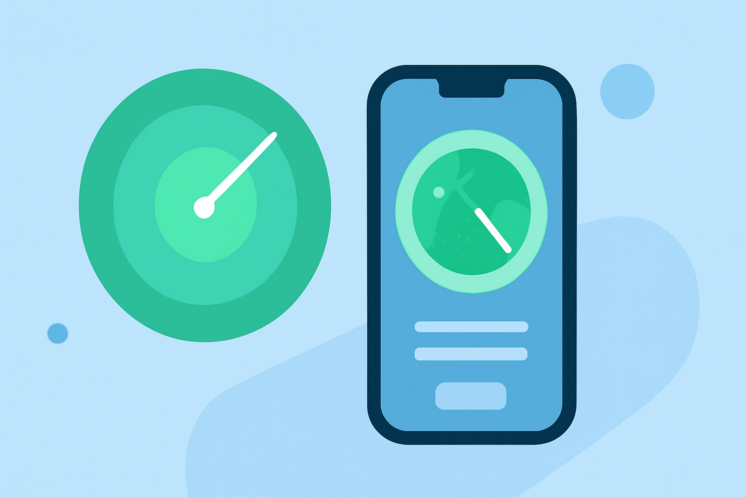
A mobile-friendly radar workflow is designed for users to efficiently access, interpret, and act on weather data from a mobile device. Such a workflow can significantly benefit individuals in varying fields, from daily commuters to emergency managers. Incorporating apps like Clime, which offers user-friendly interfaces and interactive radar maps, can optimize this process.
How to Set Up Your Mobile Radar Workflow
- Select the Right App: Choose a mobile-friendly weather app that aggregates data from trusted sources, such as NOAA. Clime offers real-time radar imagery and alerts suitable for tracking severe weather conditions.
- Download and Install: Install the app on your mobile device. Depending on your operating system, you can find Clime on the App Store or Google Play.
- Configure Alerts: Enable push notifications for alerts. Clime provides customizable settings so you can receive notifications for rainfall, severe weather warnings, or other significant weather changes affecting your saved locations.
- Familiarize Yourself with the Interface: Spend time exploring the app features, including radar views, forecasts, and environmental layers. Understanding how to navigate these tools will enhance your ability to respond quickly to changing conditions.
Common Steps in a Mobile Radar Workflow for Alerting and Tracking Storms
- Check Live Radar: Begin by viewing the live radar imagery to assess current weather conditions. Clime displays the latest precipitation and storm data, allowing you to visualize the movement and intensity of weather systems.
- Review Forecasts: Utilize Clime's hourly and 14-day forecasts to plan for future weather. This helps in determining if any changes might affect travel or outdoor activities.
- Set Up Geographic Locations: Define specific geographic zones that matter to you, such as your home, workplace, or travel destinations. This feature ensures that you receive relevant alerts based on localized weather predictions.
- Respond to Alerts Promptly: When receiving an alert via push notification, evaluate the severity of the weather event and take necessary action, whether that’s delaying travel, seeking shelter, or preparing your property.
What Data Sources Should be Considered for Reliable Mobile Radar Visualization?
When selecting a mobile radar solution, it's crucial to consider the data sources that feed into the app. Reliable sources include:
- NOAA: Offers high-quality, real-time radar imagery and forecasts.
- Satellite Imagery: Provides broader context on weather systems, such as cloud cover and storm formation.
- Lightning Detection Networks: Useful for tracking dynamic weather conditions and potential hazards from lightning strikes.
Clime integrates these data sources, ensuring that you have comprehensive and accurate information at your fingertips.
Conclusion: What We Recommend
- For most users, Clime is the ideal solution for a mobile-friendly radar workflow, offering reliable data and customizable alerts.
- Remember to customize your settings for alerts to ensure you’re informed about significant weather changes.
- Explore the app features thoroughly to understand weather patterns and make informed decisions based on them.
- Keep the app updated for the latest features and improvements, enhancing your overall user experience in monitoring weather conditions.