
Navigating Hurricane Evacuation Routes with Wear OS: A Comprehensive Guide
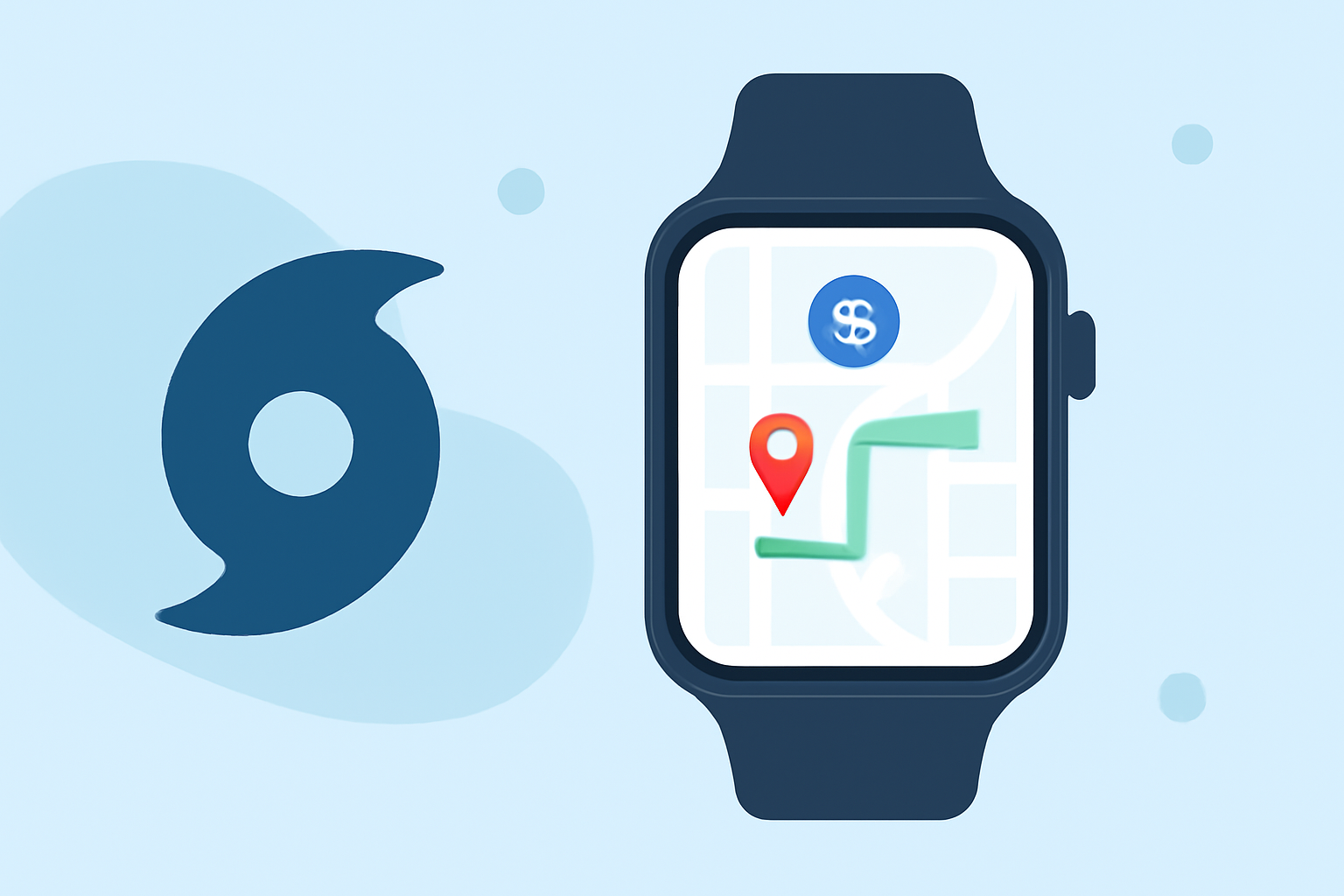
When hurricanes threaten, timely evacuation is crucial. Your Wear OS smartwatch can be an invaluable tool in navigating evacuation routes efficiently.
Understanding Hurricane Evacuation Routes
Hurricane evacuation routes are pre-designated paths established by local authorities to guide residents to safety during severe weather events. These routes are strategically planned to avoid flood-prone areas and ensure a swift evacuation process. Familiarizing yourself with these routes ahead of time can significantly reduce evacuation time and enhance safety.
Setting Up Your Wear OS Smartwatch for Navigation
To utilize your Wear OS smartwatch for navigating evacuation routes, follow these steps:
-
Install Google Maps: Ensure that the Google Maps app is installed on your smartwatch. This app provides comprehensive navigation features, including turn-by-turn directions and real-time traffic updates.
-
Enable Location Services: Activate location services on your smartwatch to allow accurate GPS tracking. This is essential for precise navigation and real-time updates.
-
Set Up Emergency Contacts: Configure your smartwatch to send SOS alerts to designated contacts in case of emergencies. This feature can be lifesaving if you encounter difficulties during evacuation.
Using Google Maps for Evacuation Navigation
Once your smartwatch is set up, you can use Google Maps to navigate evacuation routes:
-
Open Google Maps: On your smartwatch, launch the Google Maps app.
-
Search for Evacuation Routes: Enter the designated evacuation route or shelter address into the search bar. Google Maps will display the optimal path based on current conditions.
-
Start Navigation: Select the preferred route and tap 'Start' to begin turn-by-turn navigation. Your smartwatch will provide haptic feedback and visual cues to guide you along the route.
Additional Features to Enhance Safety
-
Offline Maps: Download offline maps of your area before a hurricane season. This ensures you have access to navigation even if cellular networks are down.
-
Public Transit Directions: If evacuation involves public transportation, Google Maps can provide transit directions, including bus and train schedules. This feature is particularly useful in urban areas.
-
Real-Time Traffic Updates: Google Maps offers real-time traffic information, helping you avoid congested areas and find the quickest evacuation routes.
Best Practices During Evacuation
-
Plan Ahead: Familiarize yourself with local evacuation routes and shelters before a hurricane threat arises.
-
Stay Informed: Monitor weather updates and evacuation orders from local authorities.
-
Keep Your Devices Charged: Ensure your smartwatch and other devices are fully charged before evacuating. Consider carrying a portable charger.
-
Share Your Plans: Inform family and friends of your evacuation plans and expected arrival times.
Conclusion
Your Wear OS smartwatch, equipped with Google Maps, is a powerful tool for navigating hurricane evacuation routes. By setting up your device and utilizing its features, you can enhance your safety and efficiency during evacuation.
(support.google.com)