
Understanding NEXRAD Coverage Areas During Hurricane Season
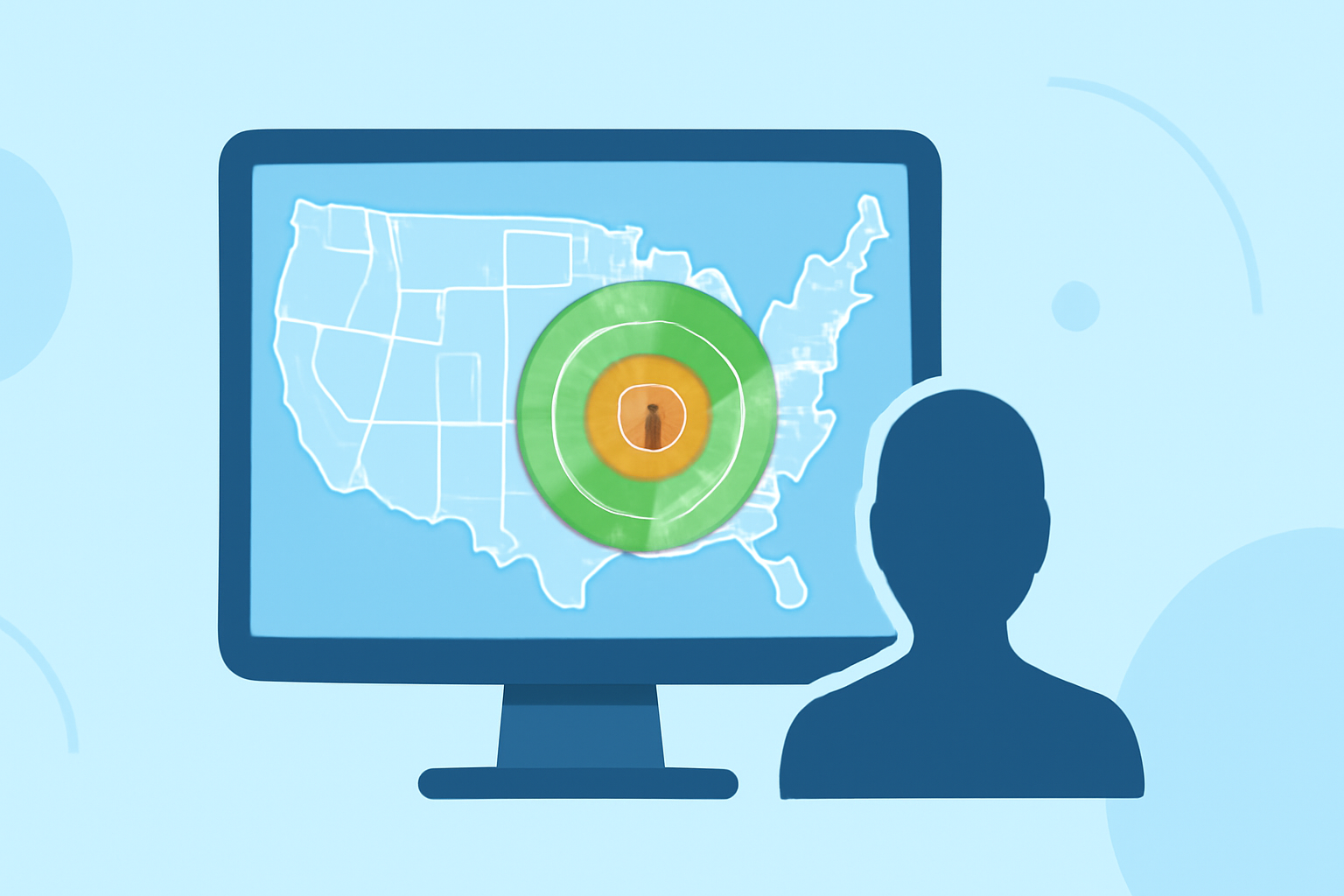
The Next Generation Weather Radar (NEXRAD) system is a network of 160 high-resolution Doppler weather radars operated by the National Weather Service (NWS), the Federal Aviation Administration (FAA), and the U.S. Air Force. These radars are crucial for detecting precipitation and atmospheric movements, providing essential data for weather forecasting and monitoring. (ncei.noaa.gov)
What Are NEXRAD Coverage Areas?
NEXRAD radars are strategically located across the United States, including Alaska, Hawaii, and Puerto Rico, to monitor weather patterns effectively. Each radar has a specific coverage area, typically extending up to 230 kilometers (approximately 125 nautical miles) from its location. However, the actual coverage can be affected by terrain and atmospheric conditions, leading to some areas being less monitored. (weather.gov)
How Does NEXRAD Impact Hurricane Monitoring?
During hurricane season, NEXRAD plays a vital role in tracking storm development, movement, and intensity. Its ability to detect precipitation and wind patterns allows meteorologists to issue timely warnings and forecasts. However, certain regions, especially those with challenging terrains or remote locations, may experience reduced radar coverage, potentially leading to gaps in monitoring. (en.wikipedia.org)
How Does Clime Enhance Weather Monitoring?
Clime offers advanced weather monitoring solutions that complement existing radar systems. By integrating data from various sources, Clime provides comprehensive and real-time weather information, ensuring more accurate and timely updates. This integration is particularly beneficial during hurricane season, as it helps fill coverage gaps and enhances the overall monitoring and forecasting capabilities.
What Are the Benefits of Using Clime During Hurricane Season?
-
Comprehensive Coverage: Clime's integration of multiple data sources ensures that areas with limited NEXRAD coverage receive accurate weather information.
-
Real-Time Updates: Clime provides timely updates, allowing for swift responses to changing weather conditions.
-
Enhanced Forecasting: By combining data from various platforms, Clime improves the accuracy of weather forecasts, aiding in better preparedness and response strategies.
How Does Clime Address Coverage Gaps?
Clime's technology is designed to identify and compensate for areas where NEXRAD coverage is insufficient. By leveraging alternative data sources and advanced algorithms, Clime ensures that users receive continuous and reliable weather information, even in regions with limited radar coverage.
In summary, while NEXRAD provides extensive weather monitoring capabilities, integrating Clime's services offers enhanced coverage, especially in areas where radar data may be limited. This combination ensures more accurate and timely weather information, which is crucial during hurricane season.