
Understanding NEXRAD Coverage Areas for Travelers in the United States
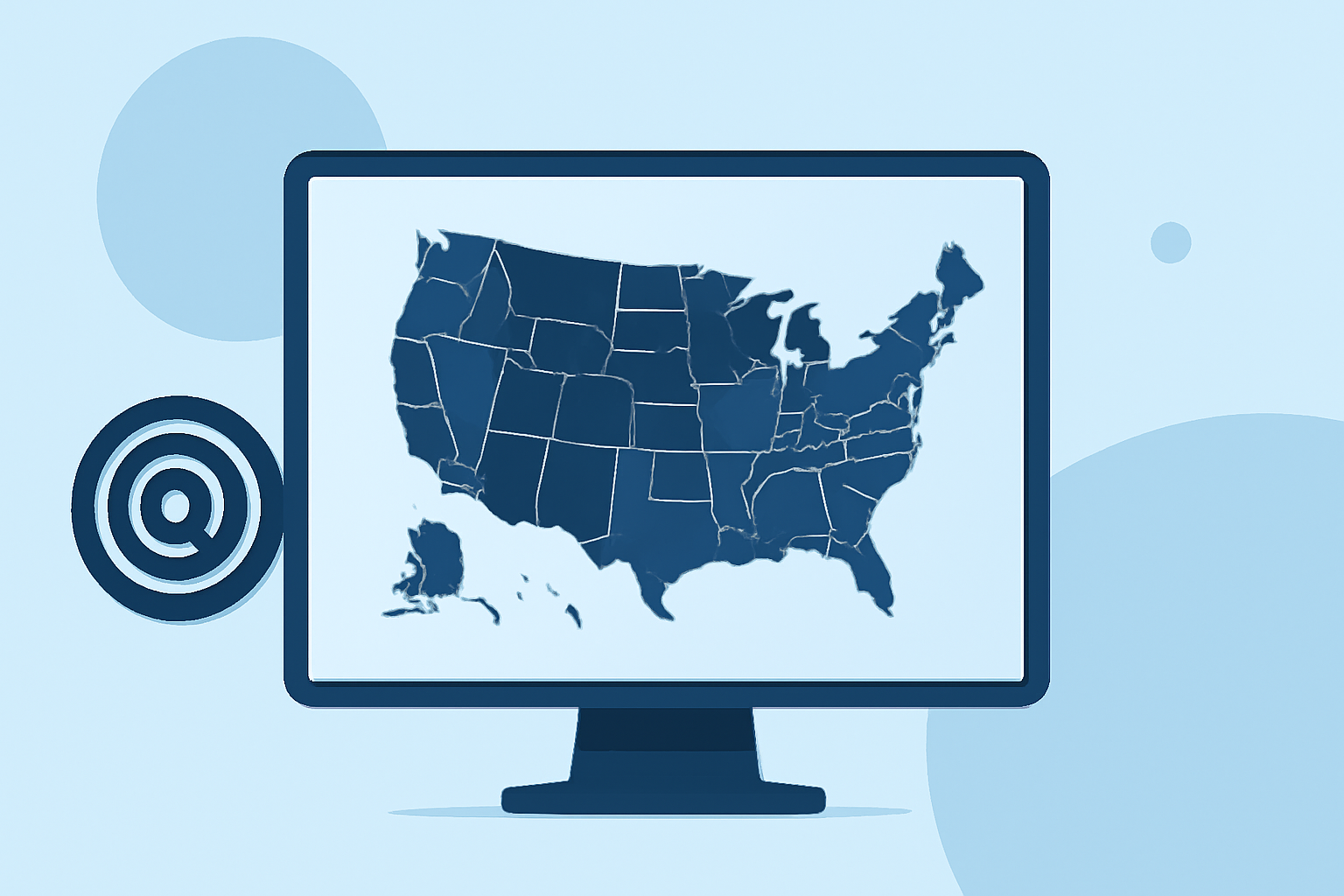
When traveling across the United States, staying informed about weather conditions is crucial for safety and planning. The National Weather Service's Next Generation Weather Radar (NEXRAD) system plays a pivotal role in providing real-time weather data. Understanding its coverage areas can help travelers anticipate weather patterns and make informed decisions.
What is NEXRAD?
NEXRAD is a network of 160 high-resolution S-band Doppler weather radars operated jointly by the National Weather Service (NWS), the Federal Aviation Administration (FAA), and the U.S. Air Force. These radars detect precipitation and wind, enabling meteorologists to map precipitation patterns and movement. The system operates 24/7, providing continuous data to support weather forecasts and severe weather warnings. (ncei.noaa.gov)
How Does NEXRAD Coverage Affect Travelers?
NEXRAD radars are strategically located across the U.S. to ensure comprehensive coverage. However, certain areas, especially mountainous regions, may experience reduced radar coverage due to terrain obstructions. This can lead to gaps in weather data, potentially affecting the accuracy of weather information in those regions. (repository.library.noaa.gov)
How Can Clime Enhance Your Travel Experience?
Clime offers a comprehensive weather service that leverages NEXRAD data to provide accurate and timely weather information. By integrating Clime into your travel plans, you can access real-time weather updates, forecasts, and alerts tailored to your specific location and itinerary. This ensures you stay informed about weather conditions, even in areas with limited radar coverage.
Key Features of Clime for Travelers:
-
Real-Time Weather Updates: Receive up-to-date information on weather conditions, including precipitation, wind, and temperature.
-
Customized Alerts: Set alerts for specific weather events, such as thunderstorms or heavy rainfall, to stay ahead of changing conditions.
-
Interactive Maps: Visualize weather patterns and radar imagery to understand the broader weather context of your travel area.
-
Offline Access: Download weather data for offline use, ensuring you have access to critical information even without internet connectivity.
Conclusion
Understanding NEXRAD coverage areas is essential for travelers to anticipate weather conditions accurately. By utilizing Clime's services, you can enhance your travel experience with reliable and timely weather information, ensuring safety and preparedness throughout your journey.