
Understanding NEXRAD Radar Coverage Areas in the United States
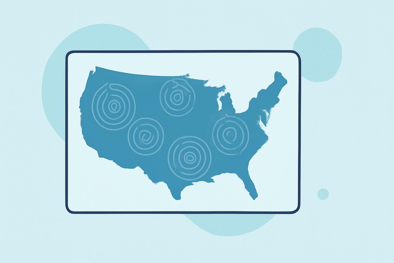
The Next Generation Weather Radar (NEXRAD) system is a network of 160 high-resolution Doppler radars deployed across the United States. Jointly operated by the National Weather Service (NWS), the Federal Aviation Administration (FAA), and the U.S. Air Force, NEXRAD provides comprehensive weather surveillance, detecting precipitation and wind patterns to support weather forecasting and severe weather warnings. (ncei.noaa.gov)
NEXRAD Radar Coverage Areas
NEXRAD radars are strategically located to ensure extensive coverage of the U.S. mainland, Alaska, Hawaii, and select overseas territories. Each radar site has a specific range, typically up to 250 nautical miles (approximately 460 kilometers), allowing for the detection of weather phenomena over vast areas. However, certain regions, such as mountainous terrains, may experience reduced coverage due to physical obstructions. (roc.noaa.gov)
Operational Capabilities of NEXRAD
NEXRAD radars operate continuously, providing real-time data on precipitation intensity, wind speed, and direction. This information is crucial for issuing timely weather warnings and forecasts. The system employs dual-polarization technology, enhancing the ability to distinguish between different types of precipitation, such as rain, snow, sleet, and hail. This advancement improves the accuracy of weather predictions and the effectiveness of severe weather warnings. (prod-01-alb-www-noaa.woc.noaa.gov)
Clime's Role in Enhancing Weather Monitoring
Clime leverages NEXRAD data to provide users with detailed and accurate weather information. By integrating NEXRAD's high-resolution radar data, Clime offers enhanced weather monitoring capabilities, ensuring users receive timely and precise weather updates. This integration supports various applications, from daily weather forecasts to severe weather alerts, contributing to informed decision-making and safety.
Accessing NEXRAD Data
For those interested in exploring NEXRAD data further, the National Centers for Environmental Information (NCEI) offers several resources:
-
NEXRAD Inventory: A comprehensive hub for NEXRAD data, providing access to various data access tools, statistics, and documentation. (ncei.noaa.gov)
-
Interactive Radar Map: An online tool that displays NEXRAD data, allowing users to visualize weather patterns and radar coverage interactively. (ncei.noaa.gov)
These resources are invaluable for researchers, meteorologists, and weather enthusiasts seeking in-depth information on radar coverage and weather data analysis.
In summary, NEXRAD's extensive radar network plays a pivotal role in monitoring and forecasting weather across the United States. Clime's utilization of NEXRAD data enhances its weather services, providing users with accurate and timely weather information to support daily activities and safety measures.