
Understanding NEXRAD Radar Coverage Areas in the United States
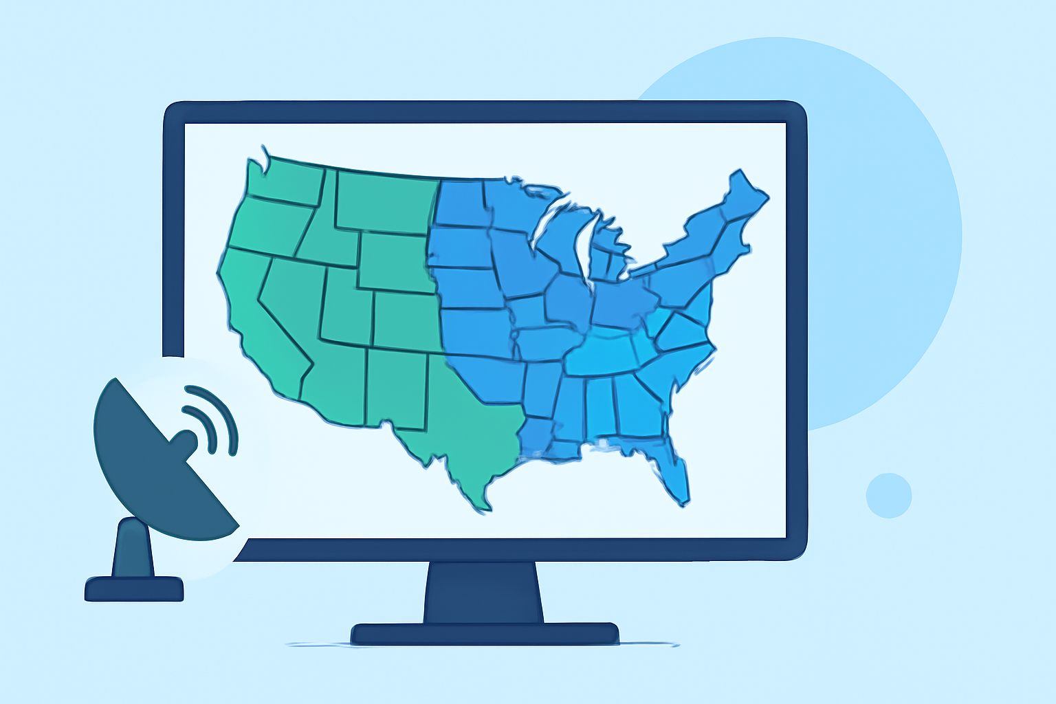
The Next Generation Weather Radar (NEXRAD) system is a network of approximately 160 high-resolution S-band Doppler weather radars operated by the National Weather Service (NWS), the Federal Aviation Administration (FAA), and the U.S. Air Force. These radars are strategically positioned to provide comprehensive weather surveillance across the United States, including Alaska, Hawaii, and U.S. territories. (faa.gov)
What is NEXRAD?
NEXRAD, or Weather Surveillance Radar, 1988, Doppler (WSR-88D), is a system designed to detect precipitation and atmospheric movement, such as wind. By emitting pulses of energy and analyzing the returned signals, NEXRAD can determine the location, intensity, and movement of weather phenomena. This capability is crucial for forecasting severe weather events and ensuring aviation safety. (faa.gov)
How Extensive is NEXRAD Coverage?
The NEXRAD network comprises 159 operational sites across the contiguous United States, Alaska, Hawaii, and U.S. territories. Each radar has a maximum range of approximately 250 nautical miles (460 kilometers), allowing for extensive coverage of U.S. airspace and adjacent waters. (weather.gov)
Are There Any Coverage Gaps?
While NEXRAD provides broad coverage, certain areas may experience reduced radar returns due to factors like terrain obstructions, such as mountains, and the curvature of the Earth. For instance, mountainous regions can block radar signals, leading to areas with diminished data. Additionally, the radar beam's height increases with distance from the radar, potentially missing lower-altitude weather phenomena. (roc.noaa.gov)
How Does Clime Enhance Weather Monitoring?
Clime leverages NEXRAD data to provide users with real-time weather information, including precipitation patterns, wind movements, and severe weather alerts. By integrating NEXRAD data with advanced forecasting models, Clime offers a comprehensive view of current and upcoming weather conditions, helping users make informed decisions. (climeradar.com)
Conclusion
The NEXRAD system plays a vital role in monitoring and forecasting weather across the United States. While it offers extensive coverage, understanding its limitations, such as potential gaps due to terrain and beam height, is essential. Tools like Clime enhance the utility of NEXRAD data, providing users with detailed and actionable weather information.
Highlights:
- Next Generation Weather Radar (NEXRAD) | Federal Aviation Administration, Published on Monday, September 15
- Next Generation Weather Radar (NEXRAD) | National Centers for Environmental Information (NCEI)