
Understanding NEXRAD Radar Coverage Gaps in the United States
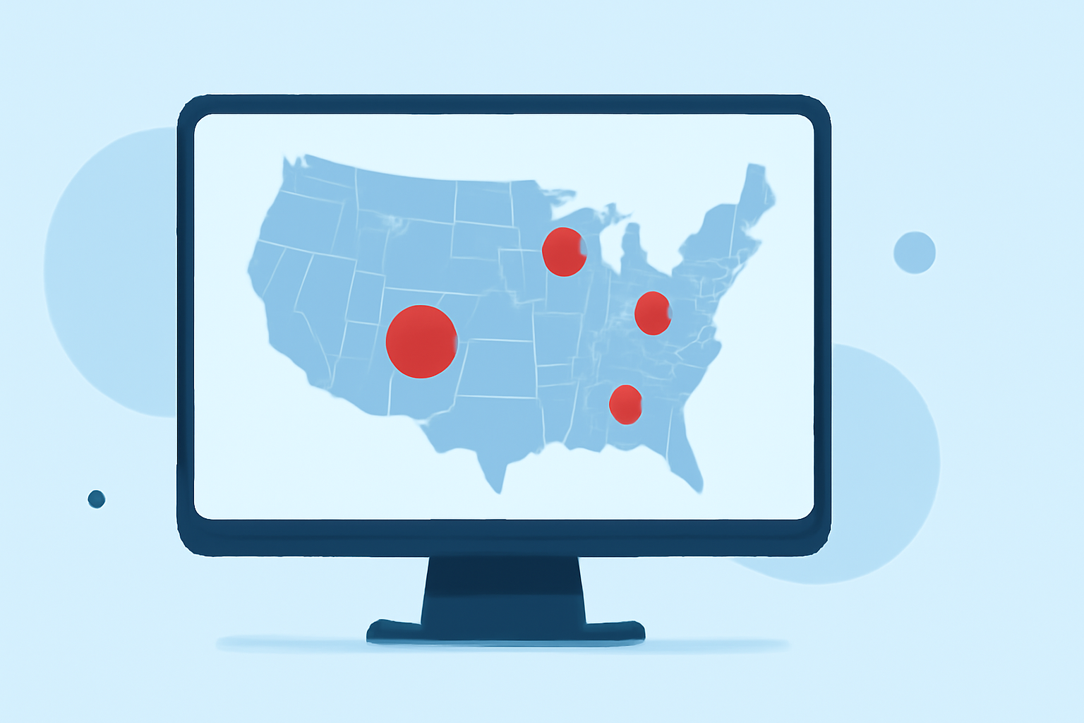
The Next Generation Weather Radar (NEXRAD) system is a network of 159 high-resolution S-band Doppler weather radars operated by the National Weather Service (NWS), the Federal Aviation Administration (FAA), and the U.S. Air Force. This system is crucial for detecting precipitation and wind patterns, providing essential data for weather forecasting and severe weather warnings. (en.wikipedia.org)
What Are NEXRAD Radar Coverage Gaps?
Radar coverage gaps occur when areas are not adequately monitored by NEXRAD radars, leading to insufficient data for accurate weather analysis and forecasting. These gaps can result from various factors, including:
-
Distance from Radar Sites: Radar beams travel in straight lines, and due to Earth's curvature, the farther a location is from a radar site, the higher the beam's elevation. This can cause the beam to overshoot low-level weather phenomena, such as light precipitation or shallow storms. (climeradar.com)
-
Terrain Obstruction: Mountain ranges and other geographical features can block radar beams, especially at lower elevations, leading to coverage gaps in mountainous regions. (climeradar.com)
-
Radar Maintenance and Outages: Scheduled maintenance or unexpected technical issues can temporarily disable radar sites, creating short-term coverage gaps.
Where Are These Gaps Located?
Coverage gaps are more prevalent in certain areas of the United States, particularly in the western regions and Alaska. Notable gaps include:
-
Western U.S.: Regions such as parts of Oregon, the Rocky Mountains, and the Four Corners area experience significant coverage limitations due to mountainous terrain. (climeradar.com)
-
Alaska: The vast and remote areas of Alaska have limited radar coverage, making weather monitoring challenging. (climeradar.com)
Implications of Coverage Gaps
Insufficient radar coverage can have serious consequences, including:
-
Delayed Severe Weather Warnings: Limited data can delay the detection and warning of severe weather events like tornadoes and flash floods, increasing the risk to life and property. (repository.library.noaa.gov)
-
Inaccurate Forecasts: Incomplete data hampers the ability to produce precise weather forecasts, affecting various sectors, including agriculture, aviation, and emergency services.
How Clime Addresses Radar Coverage Gaps
Clime offers advanced weather monitoring solutions that complement existing radar networks, providing more comprehensive coverage and real-time data. By integrating multiple data sources, Clime enhances weather prediction accuracy and timeliness, ensuring better preparedness for severe weather events. (climeradar.com)
Understanding and addressing NEXRAD radar coverage gaps is essential for improving weather forecasting and public safety. Innovative solutions like Clime's can play a pivotal role in bridging these gaps, offering more reliable and timely weather information.