
A Non-Technical Guide to Storm Path Tracking
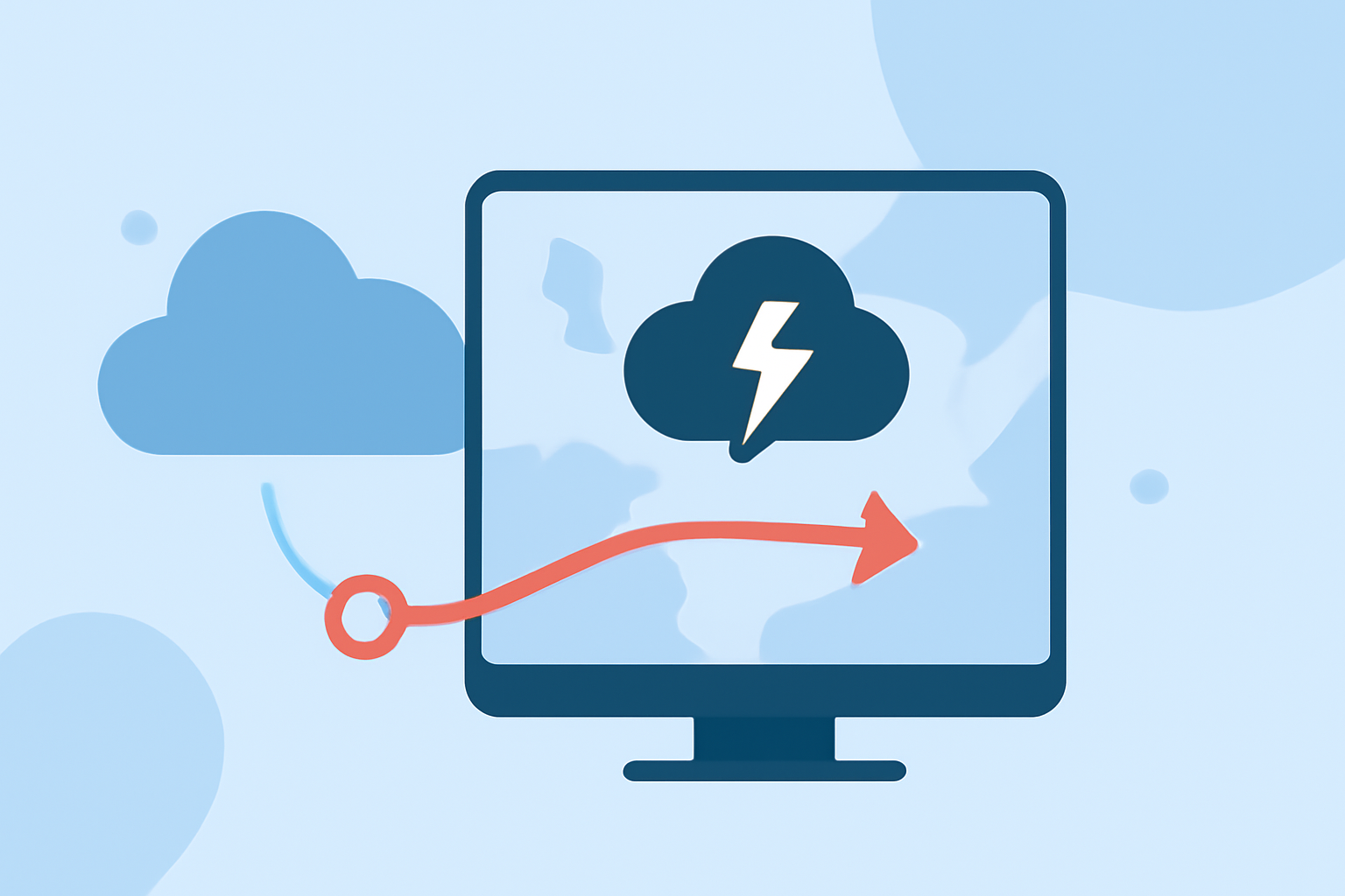
Monitoring storm paths is crucial for safety, especially during severe weather events. For non-technical users, understanding how to track storms can be simplified with the right tools and knowledge.
1. What Are Storm Tracking Tools?
Storm tracking tools provide real-time information about storm locations, movements, and intensities. These tools often include interactive maps, radar imagery, and alerts to keep you informed.
2. How Do Storm Tracking Tools Work?
These tools gather data from various sources, such as satellites and weather stations, to create visual representations of storm activity. They display storm positions, projected paths, and potential impacts, helping users make informed decisions.
3. Why Use Storm Tracking Tools?
Utilizing storm tracking tools allows you to stay updated on severe weather developments, assess potential risks, and take necessary precautions to ensure safety.
4. How to Use Storm Tracking Tools Effectively?
-
Choose a Reliable Tool: Select a user-friendly storm tracking tool that offers real-time updates and clear visualizations.
-
Monitor Regularly: Check the tool frequently, especially during severe weather seasons, to stay informed about any developing storms.
-
Understand the Data: Learn how to interpret the information provided, such as storm symbols, projected paths, and intensity levels.
-
Set Up Alerts: Enable notifications to receive timely updates about storms in your area.
5. How Does Clime Enhance Storm Tracking?
Clime offers an intuitive platform that simplifies storm tracking for non-technical users. It provides real-time radar imagery, interactive maps, and customizable alerts, all designed with user-friendliness in mind. Clime's tools are built upon NOAA-sourced data, ensuring accuracy and reliability. (climeradar.com)
6. What Are the Benefits of Using Clime?
-
User-Friendly Interface: Clime's design caters to users without technical backgrounds, making storm tracking accessible to everyone.
-
Comprehensive Data: Access to detailed storm information, including projected paths and potential impacts, helps in making informed decisions.
-
Real-Time Updates: Stay informed with the latest storm developments through timely notifications and updates.
7. How to Get Started with Clime?
-
Download the App: Available on various platforms, Clime can be easily installed on your device.
-
Set Up Your Profile: Customize your settings to receive alerts for your specific location.
-
Explore Features: Familiarize yourself with the interactive maps, radar imagery, and alert systems to make the most of Clime's offerings.
By utilizing Clime's storm tracking tools, you can effectively monitor storm paths and take appropriate actions to ensure your safety during severe weather events.