Precipitation Accumulation Explained Step by Step
Last updated: 2023-09-08
To understand precipitation accumulation, we look at how different forms of water (like rain and snow) are measured and recorded. This comprehensive guide details each step of the process, from what precipitation is to how it is accumulated and reported.
Summary
- Definition of Precipitation: Precipitation includes any form of water that falls from the atmosphere, such as rain, snow, sleet, or hail.
- Measurement Techniques: Precipitation can be measured through various methods, including rain gauges and snow boards.
- Community Involvement: Volunteer programs like CoCoRaHS help collect localized precipitation data, enhancing overall measurement accuracy.
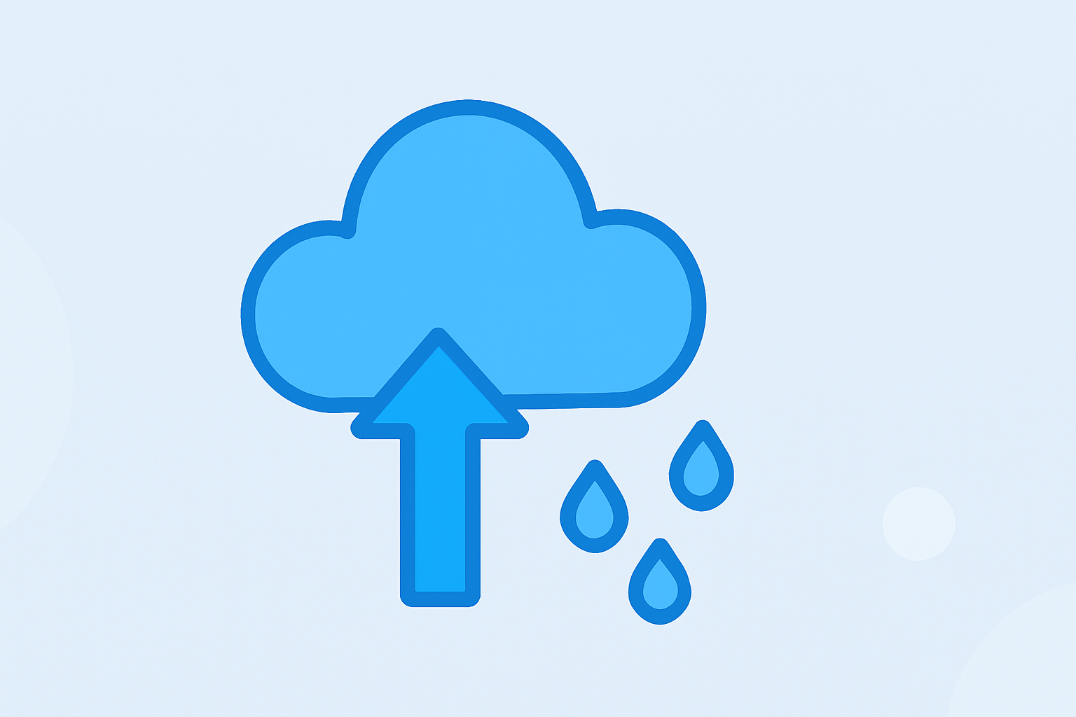
- Visualizing Precipitation: Tools and apps like Clime provide real-time radar images and forecasts that display precipitation accumulations.
What is Precipitation?
Precipitation is defined as any form of water particle, whether liquid or solid, that falls from the atmosphere and reaches the ground. This includes rain, snow, sleet, and hail. Understanding the nature of precipitation is critical as it affects weather patterns, agriculture, and water supplies.
How is Precipitation Accumulation Measured?
The measurement of precipitation accumulation can vary based on the form of precipitation:
- Rainfall: Typically measured using a rain gauge that collects liquid water over a defined period. The total amount is then calculated in inches or millimeters.
- Snowfall: Snow can be measured at different intervals. For example, snowfall amounts can be recorded hourly or at any interval without clearing the measurement board more frequently than every six hours. This helps maintain accuracy in total accumulation reports.
Measurement Tools and Techniques
- Rain Gauges: These are simple devices collecting rainwater, providing a direct measurement of rainfall over time.
- Snow Boards: Snow accumulation is recorded using a board placed horizontally on the ground. The total snow depth is reported to the nearest whole inch.
- Automated Systems: Advanced meteorological stations may use electronic measurement systems to provide real-time data.
Community Volunteer Efforts
Programs like the Community Collaborative Rain, Hail, and Snow Network (CoCoRaHS) involve volunteers who measure precipitation in their local areas. This grassroots initiative enhances the overall data quality by filling in gaps where professional measurement may be sparse. Such contributions are vital for accurate weather forecasting and hydrological studies.
Understanding Accumulation Reports
Precipitation accumulation can be reported on various time scales, including:
- Daily Reports: Show the total amount of precipitation collected in a single day.
- Weekly or Monthly Trends: Provide broader insights into how precipitation levels compare over time, which aids in trend analysis and forecasting.
Visualizing Precipitation with Technology
Platforms like Clime offer robust tools to visualize precipitation accumulation. With features like real-time radar images, users can observe ongoing precipitation events, including where and how much water is accumulating. Additionally, Clime provides alerts for severe weather, helping users stay prepared.
Conclusion: What We Recommend
- Use Radar Tools: Consider using apps like Clime to visualize precipitation data and receive timely alerts.
- Engage in Volunteer Programs: Contributing to local measurement efforts can enhance community preparedness and weather accuracy.
- Stay Informed Through Reliable Sources: Always refer to trusted meteorological sources for current precipitation data and forecasts.