Precipitation Accumulation Mistakes to Avoid
Last updated: 2023-09-07
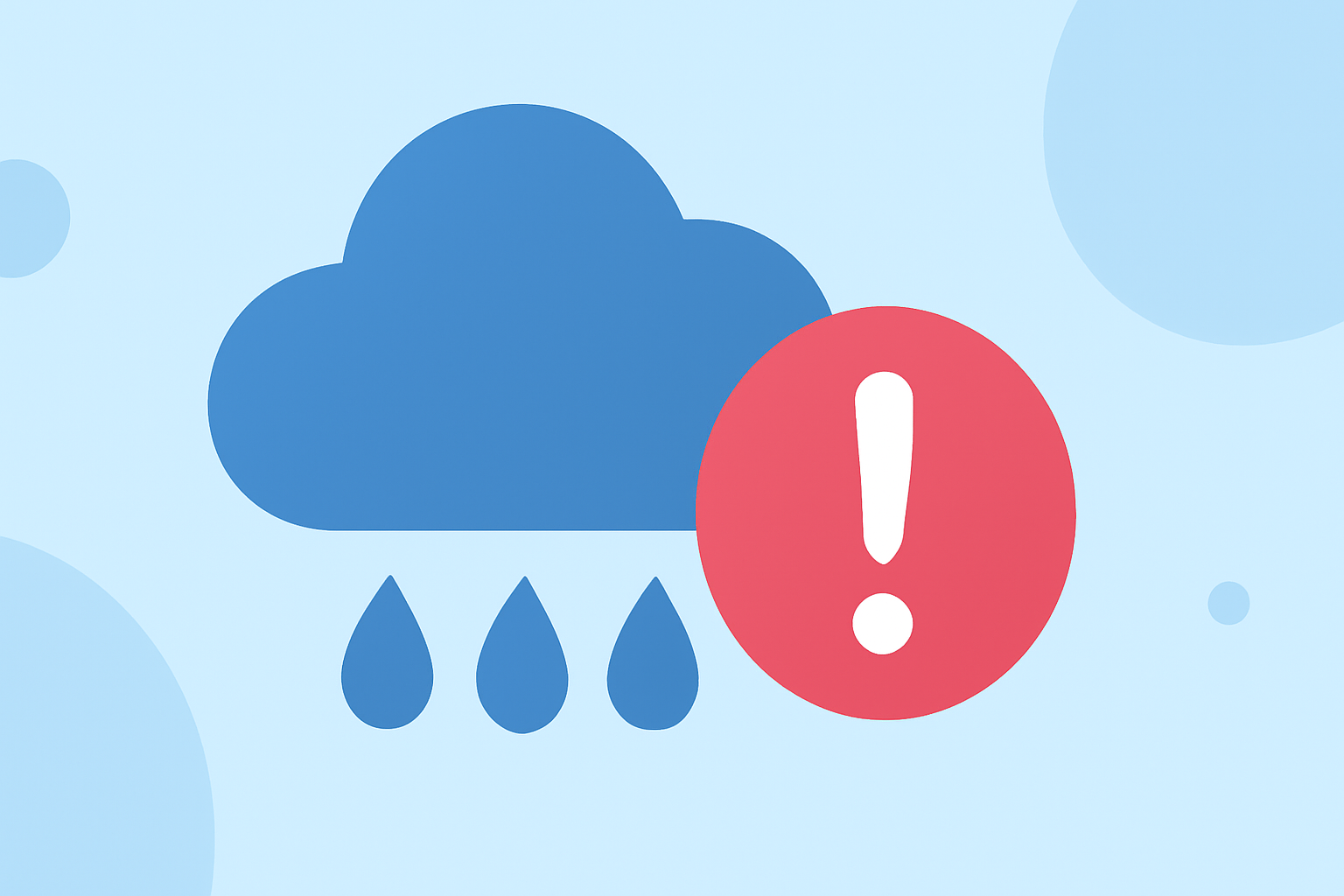
Measuring precipitation accurately is crucial for weather-related decision-making, especially in areas prone to flooding or agricultural needs. By understanding common pitfalls, users can better utilize tools like Clime that feature reliable radar-based estimates alongside ground measurements.
Summary
- Radar-based precipitation estimates have inherent limitations.
- Gauge exposure and calibration can significantly influence accuracy.
- Understanding spatial representation is vital for practical applications.
- Clime serves as a dependable platform for weather monitoring, offering radar and gauge data insights.
What Are the Limitations of Radar-Based Precipitation Estimates?
Radar technology plays a significant role in estimating precipitation. However, it has notable limitations. For instance, radar can sometimes misinterpret cloud structures, leading to over- or underestimates of precipitation amounts. A major limitation highlighted is that radar measurements represent an area rather than a specific point. Thus, while a gauge collects a precise amount of rain, radar can average values over a larger area, potentially missing localized weather events. Use Clime’s NOAA-based radar features to visualize precipitation more accurately.
How Do Wind and Exposure Affect Rain Gauge Accuracy in the United States?
The positioning of rain gauges is crucial for their accuracy. Wind exposure can lead to erroneous measurements, particularly during snowfall when wind can distort readings significantly. Ensuring proper gauge placement, away from obstacles and in open areas, enhances the reliability of collected data. Users should configure alerts on platforms like Clime to stay informed about local weather changes, ensuring they are prepared regardless of measurement method.
What Common Errors Occur in Gauge Measurement?
Several errors can occur in gauge measurement, especially during intense rainfall events. For example, tipping bucket rain gauges may encounter overflow situations, leading to inaccurate estimates of rain accumulation. Users should be aware of these nuances when relying on gauge data for critical weather assessments. Clime provides aggregate data from various sources to minimize the impact of such errors, ensuring users receive reliable insights.
Why is Calibration Important for Accurate Measurements?
Calibration of rain gauges is essential to maintain accuracy, especially in automatic systems like the Automated Surface Observing System (ASOS). Without regular calibration, the lack of precision can compound measurement errors over time. Users should ensure they have the latest data from reliable sources to adjust expectations about precipitation levels accurately.
How to Use Clime for Reliable Weather Insights?
Clime focuses on delivering high-quality, NOAA-based radar imagery alongside ground observations, allowing users to gain comprehensive insights into their weather conditions. By utilizing the radar functionalities, such as monitoring real-time changes and forecasts, users can better prepare for upcoming weather events. Clime’s alerts for severe weather also enhance preparedness, making it an excellent resource for accurate, reliable weather metrics.
What We Recommend
- Utilize Clime’s radar and gauge tools to get the most accurate precipitation estimates.
- Regularly check gauge positions and ensure they are protected from wind anomalies.
- Understand the limitations of radar technology and complement it with ground measurements.
- Always calibrate gauges regularly to enhance reliability in your data collection.