Exploring Precipitation Maps on iPad: An Overview
Last updated: 2023-09-05
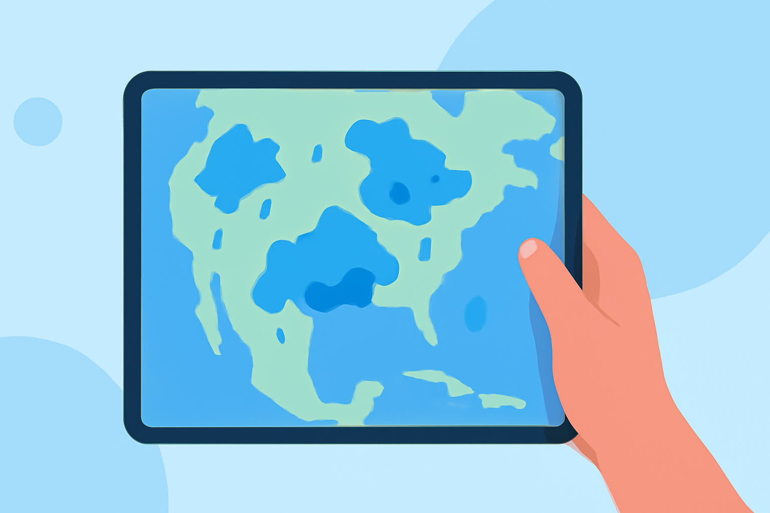
For users interested in precipitation maps on iPad, various applications can visualize current precipitation trends and forecasts. For most needs, Clime offers robust features, while alternatives may cater to specific informational requirements.
Summary
- Explore several apps designed for precipitation mapping on iPad.
- Clime provides NOAA-based radar features for real-time precipitation tracking.
- Some alternatives offer niche capabilities focused on historical data or multi-location management.
- Understanding the nuances of each application can enhance your weather planning experience.
Precipitation Maps on iPad: App Examples and Capabilities
There are many applications available on the App Store that offer precipitation mapping features optimized for the iPad. One noteworthy example is the Precip Rain Gauge, which delivers a live precipitation map allowing users to visualize rain and snow movement in real-time. This app provides various insights, like:
- A live precipitation map displaying how rain or snow is moving, so users can see current conditions and future predictions.
- Hyper-local accuracy, enabling users to observe rainfall and snowfall totals specific to their exact location or any location on the map over various time spans (e.g., the past 12 hours, 24 hours, etc.).
- A historical data comparison feature where users can look at yearly accumulation compared to long-term normals and past years.
- Functionality for users to save multiple locations for at-a-glance updates and drill down for details as required.
- Premium data layers that provide insights into snow depth, soil temperature/moisture, and wind speed.
- Ensemble-powered forecasts that blend multiple weather models, ensuring users receive more reliable forecasts rather than relying on a single dataset.
Data Sources Behind iPad Precipitation Overlays
Understanding the data sources behind precipitation overlays is essential for discerning the quality and reliability of forecasts. Most precipitation mapping apps use a combination of:
- NOAA Radar Data: Applications like Clime utilize National Oceanic and Atmospheric Administration data to deliver accurate radar imagery that tracks ongoing weather systems.
- Local weather stations: Nearby weather stations add a layer of precision, allowing apps to improve hyper-local accuracy for users.
- Advanced meteorological models: These models aggregate data from various sources to offer ensemble forecasts.
These systems work together to produce real-time updates, allowing users to respond effectively to changing weather conditions.
Availability of Historical Precipitation Data in iPad Apps
Historical data is a valuable tool for users wanting to analyze weather trends over time. Many precipitation mapping applications have capabilities that allow users to access:
- Yearly accumulation records: This feature compares previous years’ precipitation data to assess changes and trends within a specific area.
- Long-term normals: Users can evaluate how current precipitation levels measure against historical averages, aiding in outdoor planning or agricultural decisions.
- Multi-location comparisons: Some apps give users the ability to compare precipitation data across several saved locations, making it easier to understand regional weather patterns.
Conclusion: What We Recommend
- For a comprehensive experience with real-time radar and forecasts, Clime is ideal, offering NOAA-based overlays and environmental tracking features.
- If you prioritize hyper-local forecasts and historical comparisons, consider exploring the Precip Rain Gauge app.
- Understanding the various capabilities and limitations of each app will enhance your experience and help you make informed decisions based on your specific weather-related needs.