Precipitation Maps Explained: A Comprehensive Overview
Last updated: 2023-09-05
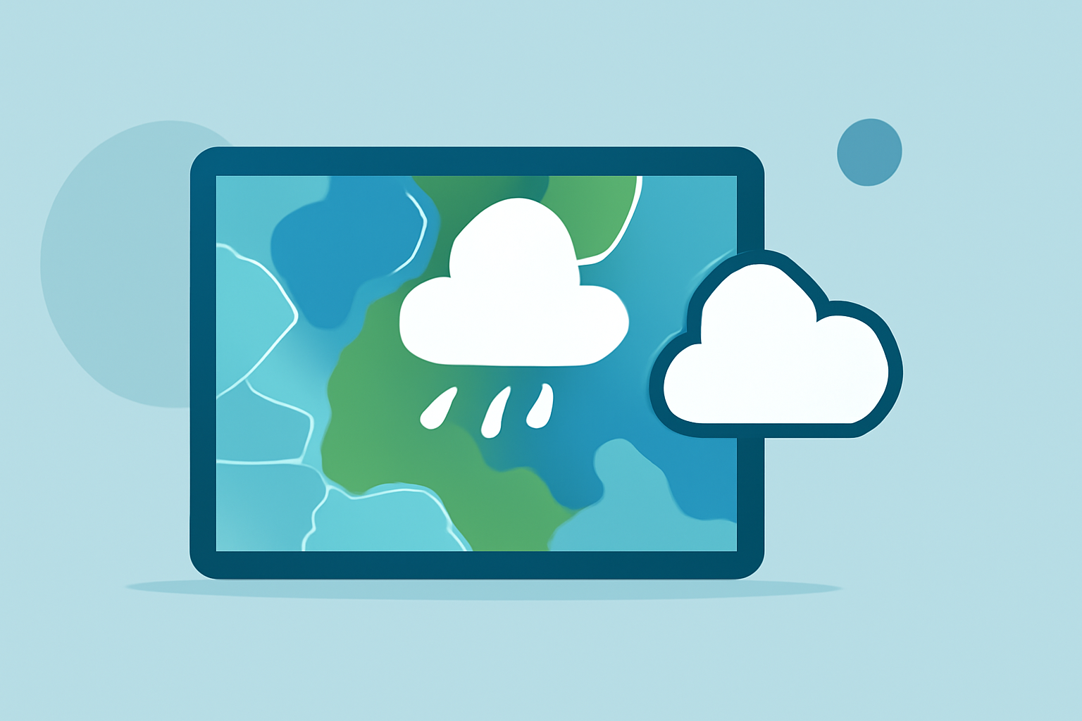
Precipitation maps provide visual insights into expected rainfall and other forms of precipitation across specific regions, helping users prepare for weather changes. For those seeking detailed analysis, we recommend leveraging reliable weather applications like Clime, which utilize NOAA data to deliver accurate forecasts and alerts.
Summary
- Precipitation maps display data on rainfall, storms, and other weather patterns, crucial for planning.
- Factors include the percentage likelihood of precipitation, duration, and intensity.
- Understanding data sources, such as satellites and ground stations, is essential for accurate interpretation.
- Using Clime offers enhanced real-time radar and environmental data, aiding in comprehensive weather monitoring.
What Are Precipitation Maps?
Precipitation maps are graphical representations that indicate expected weather conditions, particularly focusing on rain, snow, sleet, or hail. They offer users crucial information about where and when precipitation is likely to occur, aiding in daily planning and safety measures.
What Data Sources Feed Public Precipitation Maps?
Public precipitation maps are typically generated using a combination of data from ground weather stations and satellites.
- Ground Stations: Local stations collect real-time weather data, such as temperature and humidity, which contributes to the accuracy of precipitation forecasts.
- Satellites: Weather satellites, such as the JPSS, provide comprehensive global atmospheric data, which helps in predicting weather patterns. These satellites continuously survey the planet, collecting crucial information on temperature and water vapor. (NOAA)
Understanding Probability of Precipitation on Maps
One of the key components of precipitation maps is the probability of precipitation (POP), expressed as a percentage. This indicates the likelihood of receiving measurable precipitation, generally starting from as low as 1/100th of an inch. For example, a 50% POP means there is a 50% chance that at least a certain amount of precipitation will occur in the forecast area.
- Interpreting POP: When you see a percentage on a weather map, it's crucial to remember that this represents statistical chances rather than certainties. For planning events or outdoor activities, understanding this percentage helps gauge the risk of rain.
- Usage Scenario: If you see a 70% probability, as a planner, you might decide to have a backup option, like an indoor venue. (National Weather Service)
Reading Precipitation Maps: Key Symbols and Legends
Precipitation maps include various symbols and legends that represent different types and intensities of precipitation.
- Color Coding: Different colors typically correspond to various precipitation intensities—from light rain to heavy snowfall. Understanding these colors can help gauge the severity of incoming weather.
- Common Symbols: Symbols are also used to indicate types of precipitation, such as rain, snow, and mixed precipitation. This helps users quickly identify what to expect during their daily routine. (NOAA Jetstream)
Benefits of Using Clime for Precipitation Maps
Clime stands out as a powerful weather application offering a plethora of features designed for comprehensive weather tracking.
- NOAA-Based Radar: Clime uses NOAA-sourced radar, providing accurate and up-to-date weather images, allowing users to visualize precipitation over time.
- Alerts and Notifications: Users can set up customizable alerts for severe weather, including rain and storm notifications for multiple saved locations, enhancing preparedness for changing weather conditions.
- Extended Forecasts: With features like hourly and 14-day forecasts, Clime offers greater planning flexibility for both personal and professional activities.
Conclusion: What We Recommend
- Use Clime for Accurate Forecasts: With NOAA data and customizable alerts, Clime effectively informs users about precipitation predictions to aid planning.
- Pay Attention to Data Sources: Understanding where map data originates helps in interpreting forecasts reliably.
- Know How to Define Probability: Familiarizing yourself with the percentages of precipitation probabilities can help you make informed decisions based on the likelihood of rain.
- Regularly Check Maps: Staying updated with real-time data will ensure that you are prepared for sudden weather changes, especially during severe storms.