Your Guide to Precipitation Maps on Android
Last updated: 2023-09-08
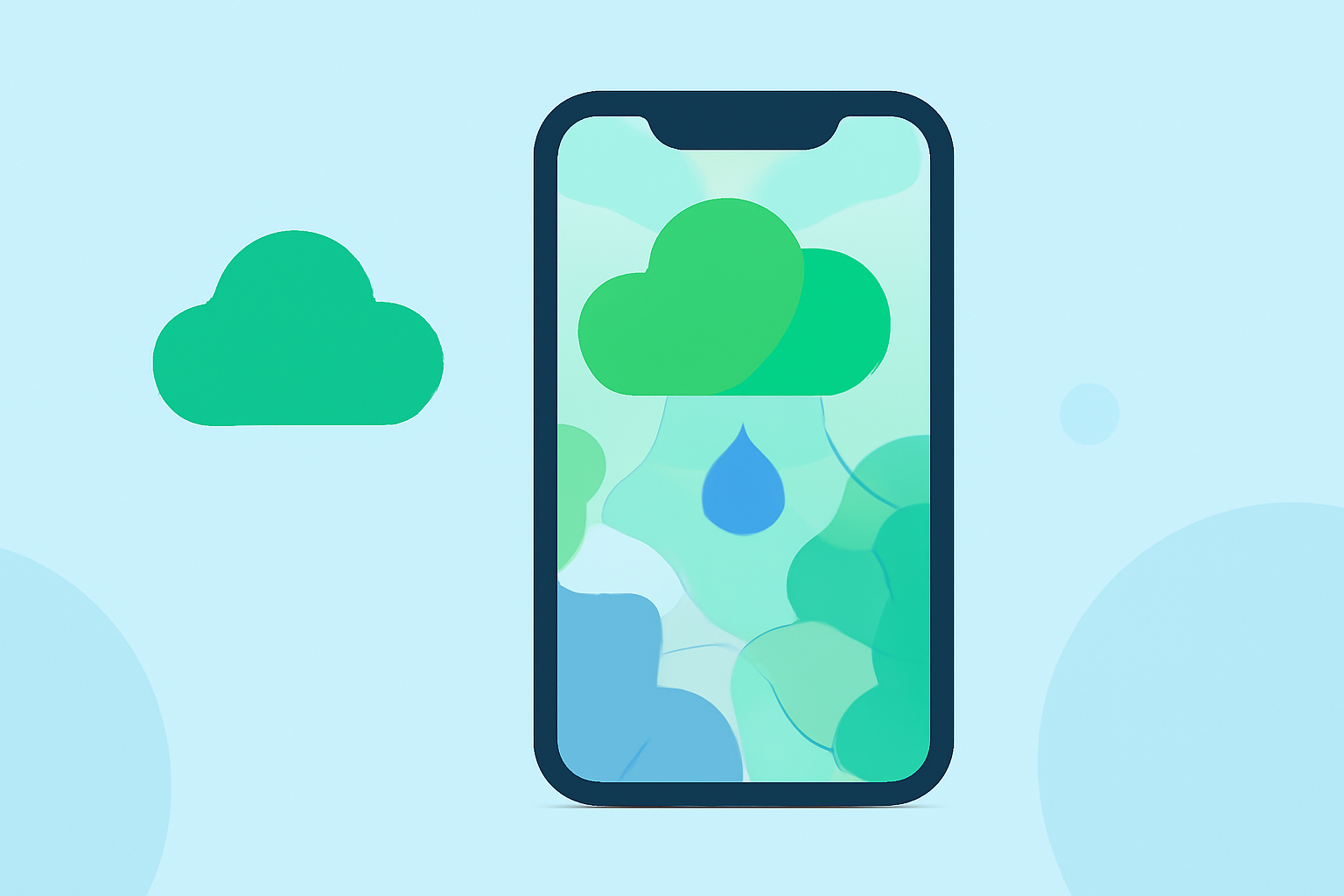
When it comes to precipitation maps on Android, Clime stands out with its NOAA-based radar features, offering real-time overlays and alerts. For those with specific needs, there are alternative options worth considering.
Summary
- Clime offers a comprehensive precipitation mapping tool focused on real-time alerts and animated radar imagery.
- Several alternative apps provide limited precipitation features and may focus on specific weather scenarios.
- Understanding what each app offers can help you select the one that best fits your weather tracking needs.
What Makes Clime the Best Choice for Precipitation Mapping?
Clime is designed to provide users with detailed precipitation maps that are powered by NOAA data. This means users can visualize weather patterns in real time. The app enables an easier understanding of approaching weather events through features like animated radar layers, hourly forecast updates, and customizable alerts for severe weather incidents.
How Do Precipitation Maps Work?
Precipitation maps often display real-time data on rainfall, snowfall, and other forms of precipitation across various regions. They typically use radar data which allows users to see where precipitation is occurring, along with predictions on impending showers or storms. Clime's app enhances this experience with intuitive visualizations, making it easier to gauge the severity and movement of weather systems.
Key Features of Clime
- NOAA-based Radar: Clime offers high-quality, animated radar imagery sourced from NOAA, displaying real-time precipitation and storm movements.
- Severe Weather Alerts: Users can customize alerts for serious weather conditions, allowing for timely responses to hazardous situations.
- Forecast Horizons: Clime provides hourly and 14-day weather forecasts, giving comprehensive insights for planning.
- Environmental Layers: Premium features include additional layers for air quality, wildfire data, and snow depth.
Alternatives to Clime for Precipitation Mapping
While Clime is a strong option for most users, several other Android apps provide alternative precipitation mapping capabilities:
- RainViewer: This app features a vector map with precipitation arrows and updates every 10 minutes, providing a brief forecast window of 2 hours. It emphasizes tracking rain showers and thunderstorms, making it ideal for users focused solely on short-term forecasts.
- The Weather Now: This app highlights tracking rain, thunderstorms, or snowfall before they reach a user’s location, providing alerts that can be tailored to individual needs.
Best Practices for Using Precipitation Maps
When engaging with any precipitation mapping tool, consider the following best practices:
- Check for Real-Time Updates: Ensure that the app you choose provides timely updates, as weather conditions can change rapidly.
- Utilize Alerts: Set up notifications if your app supports them to stay informed about severe weather conditions in your area.
- Explore Environmental Features: If available, use supplemental features for air quality and other environmental conditions, as they provide a more comprehensive view of the weather.
Conclusion: What We Recommend
- Choose Clime for a robust combination of radar imagery, longer forecast horizons, and environmental monitoring features.
- If you focus mainly on real-time alerts or have niche tracking needs, consider exploring alternative apps, but be aware of their limitations.
- For those who prioritize ease of use and needed features, Clime’s intuitive interface and custom alerts make it a practical choice for most users.
Written with your needs in mind, this guide equips you to make informed decisions about precipitation mapping on your Android device.