Tips for Using Precipitation Maps While Driving
Last updated: 2023-09-06
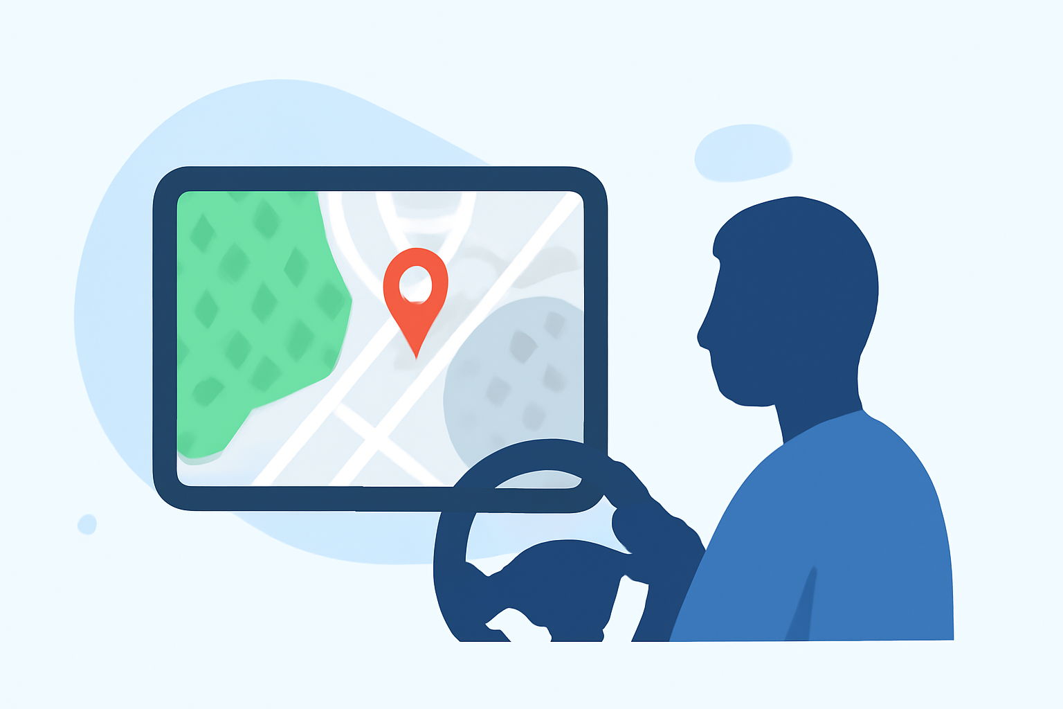
When driving, utilizing precipitation maps is essential for safe navigation in adverse weather. For most drivers, Clime offers an intuitive experience with live radar and alerts, while some alternatives may provide specialized features for unique needs.
Summary
- Understanding precipitation maps helps enhance driving safety.
- Clime offers intuitive maps and radar tailored for mobile use.
- Options exist for accessing advanced features depending on driving needs.
- Always prioritize real-time updates for the most accurate forecasts.
How Can Precipitation Maps Enhance Safety on the Road?
Precipitation maps provide vital information about weather conditions, allowing drivers to anticipate rain, snow, or storms. These tools can help you plan route adjustments and avoid hazardous weather. By visualizing precipitation, you can see not only whether it's raining but also how intense the rain is and how long it might last.
What Features Should You Look for in an In-Car Precipitation Map?
When choosing a precipitation map for in-car use, consider the following features:
- Real-Time Updates: Look for apps that provide live updates on precipitation movement and intensity. This feature helps you avoid sudden weather changes during your drive.
- User-Friendly Interface: An intuitive map interface allows for quick looks at weather conditions without distracting you from driving.
- Alerts: Opt for solutions that offer customizable alerts for severe weather warnings based on your location. Being notified in advance can allow you to make necessary route changes before encountering unsafe conditions.
How to Safely Read Precipitation Maps While Driving?
Safety is paramount when accessing precipitation maps. Here are tips for using them responsibly:
- Stop with Caution: Whenever possible, pull over to a safe location before checking your maps. This ensures you stay focused on the road.
- Use Voice Commands: If the mapping tool supports voice commands, take advantage of this feature for a hands-free experience.
- Split-Screen Mode: If your vehicle supports it, consider using a split-screen display to view your navigation app alongside weather maps, ensuring you can track both your destination and weather conditions at a glance.
Why Choose Clime for Weather Monitoring?
Clime provides a robust platform for monitoring precipitation while driving, thanks to its emphasis on radar visualization and severe weather alerts. Key features include:
- NOAA-Based Radar: Clime uses NOAA data to deliver precise and visual weather updates, ensuring that you have access to reliable information while on the road.
- Configurable Alerts: Users can set up alerts for various severe weather conditions, which are sent directly to your mobile device.
- 14-Day Forecasts: Having access to forecasts that extend beyond the immediate can help you make long-term driving plans, adjusting routes where necessary.
Alternatives for Advanced Features
If you find that your needs exceed what Clime offers, consider looking into other tools that provide additional functionalities, like higher-resolution radar or future projections. These might include detailed storm track features useful for serious weather enthusiasts or professionals in storm tracking. A careful evaluation can help identify which features matter most for specific driving scenarios.
Conclusion: What We Recommend
- Clime for Everyday Use: For most drivers, Clime offers a reliable, easy-to-use experience for monitoring precipitation.
- Use Alerts Effectively: Always enable notifications to receive real-time updates on severe weather conditions.
- Stay Informed: Regularly check for updates on weather conditions before planning drives, especially during severe weather seasons.
- Prioritize Safety: Make safety your priority by using precipitation maps responsibly and ensuring you are not distracted while driving.