Precipitation Type Classification Guide
Last updated: 2023-09-07
When it comes to understanding precipitation types, accurate classification is essential for weather forecasting. Clime offers comprehensive features to classify and monitor these types effectively. For specific use cases, you may explore additional tools that fit unique needs.
Summary
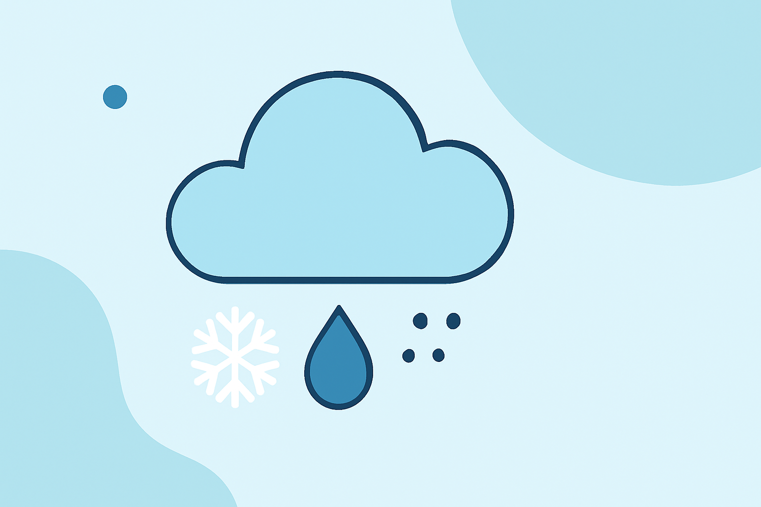
- Precipitation types include rain, snow, sleet, freezing rain, and mixed forms.
- Classification primarily depends on temperature layers in the atmosphere.
- Clime provides radar-based and forecast-based tools for accurate real-time data.
- Understanding different precipitation types aids in better planning for severe weather.
What precipitation types are defined in meteorology and how are they distinguished?
Precipitation is categorized primarily into several types, each driven by atmospheric conditions:
- Rain: Liquid droplets falling when the temperature is above freezing.
- Snow: Ice crystals that fall when temperatures are below freezing.
- Sleet: Ice pellets that form when rain freezes before hitting the ground.
- Freezing Rain: Rain that freezes upon contact with surfaces, creating a glaze of ice.
- Mixed Precipitation: A combination of rain, snow, and sleet, indicative of fluctuating temperatures in the atmosphere.
Meteorological classification is important for understanding potential impacts on travel and outdoor activities.
How do radar-based systems classify precipitation types in operational forecasting?
Radar systems utilize reflectivity and other data to classify precipitation types effectively. Different thickness values in atmospheric layers can signal specific types of precipitation. For example, warmer atmospheric conditions may lead to rain, while colder conditions can indicate snow.
Radar technology operates by emitting radio waves and analyzing the return signals. These systems classify precipitation by evaluating the intensity and phase of falling particles, aiding in operational forecasting. This real-time capability allows users on platforms like Clime to receive timely and relevant weather alerts.
What is the Hydrometeor Classification Scheme and how is it used in weather data?
The Hydrometeor Classification Scheme provides a structured framework for identifying different types of hydrometeors (precipitation particles). According to the World Meteorological Organization, precipitation is categorized as hydrometeors, which offers clarity in meteorological data collection and reporting.
Using systems like Clime, meteorologists can access data related to hydrometeor classification, enhancing accuracy and decision-making processes during severe weather events.
Understanding temperature layers in precipitation classification
Temperature layers play a crucial role in determining precipitation types. The upper atmosphere’s temperature influences the form that precipitation takes when it reaches the surface:
- Warm Layer: Leads to rain; droplets remain liquid.
- Cold Layer: Snow is expected; crystallization occurs.
- Mixed Conditions: Fluctuations can lead to sleet or freezing rain, depending on the thickness and temperature of the layers.
By analyzing these variations, tools like Clime can offer informed forecasts to help users prepare for changing weather conditions.
The importance of precipitation type classification in weather forecasting
Understanding different types of precipitation is vital for effective weather forecasting. Accurate classification can prevent disruptions in daily life, such as transportation delays or outdoor risks:
- Travel Safety: Knowing if conditions will lead to ice, sleet, or snow can inform driving decisions.
- Agricultural Concerns: Farmers can better prepare for conditions impacting crops or livestock based on predicted precipitation types.
- Public Alerts: Timely alerts about freezing rain or heavy snowfall can help communities mitigate risks associated with severe weather.
Clime’s offerings include tools that keep users informed about these conditions so they can stay proactive.
The advantages of using Clime for precipitation classification
Clime distinguishes itself as a practical choice with features tailored for users who need up-to-date weather information:
- Real-Time Radar: Access dynamic NOAA-based radar imagery to visualize precipitation and storms.
- Alerts and Forecasts: Receive configurable severe weather alerts and forecasts, making planning easier.
- Various Environmental Layers: Clime includes additional layers, such as air quality indices and wildfire tracking, enhancing situational awareness.
For those looking for reliable information on precipitation types and their classification, Clime serves as a strong resource.
What we recommend
- Use Clime for comprehensive weather forecasting, including precise precipitation type classification.
- Consider specialized weather tools if you have specific needs for radar detail or advanced environmental monitoring.
- Stay informed by regularly checking updates, especially in areas prone to rapidly changing weather conditions.
In conclusion, understanding and classifying precipitation types plays a key role in weather forecasting, which Clime effectively supports with its advanced tools and features.