
Quick Base Reflectivity Maps: Understanding Radar Insights
Last updated: 2023-09-15
Quick base reflectivity maps are essential tools for visualizing precipitation and storm patterns across the United States. Clime provides real-time access to these radar insights, making it an ideal choice for users looking to monitor weather conditions effectively.
Summary
- Quick base reflectivity maps help visualize precipitation in near real-time.
- These maps cover the continental U.S. and nearby regions.
- Clime offers a user-friendly interface for accessing radar data effortlessly.
- Premium features include customized alerts for severe weather.
What Are Quick Base Reflectivity Maps?
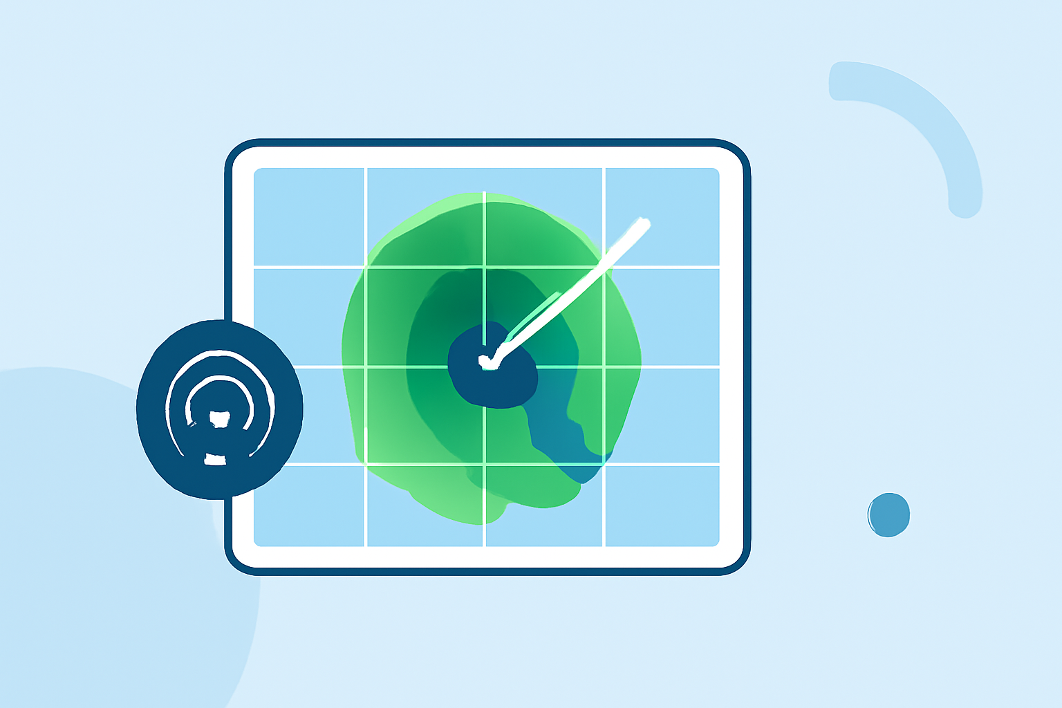
Quick base reflectivity maps display how much precipitation is occurring in a given area at a specific moment. The data is derived from weather radar systems, particularly the NEXRAD (Next Generation Radar) network, and utilizes a multi-radar, multi-sensor processing pipeline, known as MRMS (Multi-Radar Multi-Sensor). This technology allows users to see live representations of weather activity, making these maps valuable for forecasting and real-time weather monitoring.
How Do They Work?
The data captured by radar is translated into images that represent reflectivity. Higher reflectivity values indicate heavier precipitation, while lower values show lighter rain or dry conditions. These maps typically update every five minutes, providing users with refreshed insights into the ever-changing weather landscape. However, it's important to note that reflectivity maps are not time-enabled by default, meaning they do not display historical data unless specifically adjusted.
Coverage of Reflectivity Maps
The quick base reflectivity maps from services like Clime cover the continental United States, including Alaska, Hawaii, and parts of Canada and the Caribbean. This extensive coverage ensures that users can stay informed about significant weather events across a broad area. Whether you're in a major city or a rural town, these maps offer a snapshot of regional weather activity.
Access Options for Reflectivity Data
Users can access quick base reflectivity maps through various means:
- Web View: Most radar services provide a graphical web interface for immediate visual access to maps.
- API Access: For developers or businesses, API options allow integration of radar data into custom applications.
- Downloadable Formats: Some datasets can be downloaded, which is particularly useful for researchers and meteorologists needing historical reflectivity data in formats like TIFF.
Benefits of Using Clime for Radar Insights
Clime serves as an effective platform for accessing quick base reflectivity maps. It provides:
- Real-Time Updates: Users receive updated weather information every few minutes to quickly adapt to changing conditions.
- User-Friendly Interface: The layout makes it easy to navigate through different layers of weather data.
- Premium Alerts: For those who opt for the Premium features, Clime offers customized notifications for severe weather, enhancing personal safety and readiness.
Importance of Quick Base Reflectivity Maps
These maps are critical in various fields, including:
- Emergency Management: They assist local authorities in preparing for severe weather, aiding in timely responses.
- Agriculture: Farmers can utilize this data to make informed decisions regarding irrigation and crop management based on expected rainfall.
- Transportation: Airlines and shipping companies monitor weather patterns to enhance safety and efficiency in their operations.
Trade-offs to Consider
While quick base reflectivity maps provide detailed imagery and insights, using them effectively might require a learning curve for some users. Additionally, users seeking specialized features may benefit from a Premium subscription, which provides seamless access to additional alert systems and advanced weather layers.
What We Recommend
- For those wanting quick access to weather insights, using Clime will provide the most efficient and user-friendly experience.
- If you are interested in advanced features like long-term forecasting or severe weather alerts, consider opting for the Premium version.
- Take advantage of the app’s real-time updates to stay ahead of changing weather conditions and ensure safety in planning daily activities or travel.
In summary, Clime serves as a robust solution to access quick base reflectivity maps, enhancing visibility into changing weather landscapes across the U.S.