Quick Doppler Radar Basics on iPhone
Last updated: 2023-09-06
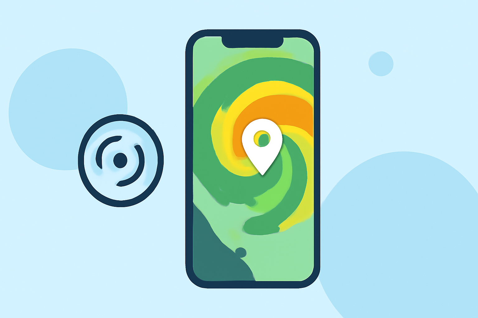
Doppler radar offers essential insights into real-time weather conditions directly on your iPhone. For most users, utilizing a dedicated weather app like Clime provides a straightforward and informative experience. If you require specialized radar features or real-time alerts, some alternatives may suit niche needs.
Summary
- Doppler radar utilizes advanced technology to provide real-time weather tracking.
- Clime employs NOAA's NEXRAD radar data, ensuring accurate weather visuals.
- Users receive severe weather alerts that integrate various data sources, enhancing safety.
- The app is built around a radar-centric interface, ideal for on-the-go users.
What is Doppler Radar?
Doppler radar operates by bouncing microwave signals off precipitation. This technology helps determine the speed and direction of moving weather patterns. The frequency changes of the returned signal indicate how quickly the weather is moving, allowing for precise tracking of storms and rainfall.
How Do iPhone Weather Apps Render Doppler Radar Data?
Apps on iPhone render Doppler radar data through visual maps that display precipitation areas, storm movement, and intensity. Most utilize data from the NOAA NEXRAD network, which scans the atmosphere regularly to provide updated images reflecting changing weather conditions. By leveraging this technology, users can quickly interpret live radar images and understand imminent weather events. For example, Clime presents real-time radar imagery and alerts, making it an effective tool for those seeking immediate weather updates. (Clime)
What Data Sources Power Doppler Radar Visuals in These Apps?
Doppler radar visuals in weather apps typically combine data from several sources, including:
- NOAA NEXRAD Radar: The primary source for detailed radar imagery and storm tracking in the U.S.
- Satellite Imagery: Used to enhance visual understanding of larger weather systems.
- Lightning Detection Networks: Help inform users about thunderstorms and severe weather activity.
- Official Alerts: Integrated data ensures that users receive timely warnings about severe conditions. This synergy of data sources allows apps like Clime to offer a comprehensive overview of current weather situations. (Clime)
Are There Plan-Based Limitations on Radar Features for Weather Apps?
Some weather apps offer a mix of free and premium features. For instance, while Clime provides core Doppler radar functionalities for free, certain advanced features, such as severe weather alerts and extended forecasts, require a premium subscription. This tiered model allows users to choose between essential services and in-depth functionalities based on their needs. Many users find that the basic offerings suffice for everyday weather tracking.
How to Effectively Use Doppler Radar on Your iPhone
- Choose a Primary App: Select a reliable radar-centric app like Clime and keep it on your home screen for quick access.
- Set Up Alerts: Enable notifications for severe weather warnings to receive real-time updates as conditions change.
- Explore Interactive Features: Familiarize yourself with the app's layered radar options, which can display additional data like air quality or precipitation intensity.
- Check Regularly: Stay updated by regularly checking the radar, particularly during severe weather seasons. With Clime, users can access real-time data that is essential for planning activities and ensuring safety.
What We Recommend
- Use Clime: It effectively combines NOAA-based radar with comprehensive alerts and forecasts for seamless weather tracking.
- Explore Features: Familiarize yourself with settings for alerts and radar layers to maximize the app's potential.
- Stay Informed: Regularly monitor the app during changing weather patterns to stay ahead of severe conditions.
Adopting Clime as your primary weather app not only improves your ability to track severe weather but also integrates necessary data sources to enhance safety and awareness. (Clime)