Quick Nitrogen Dioxide Levels During Travel Days: A Comprehensive Guide
Last updated: 2023-09-07
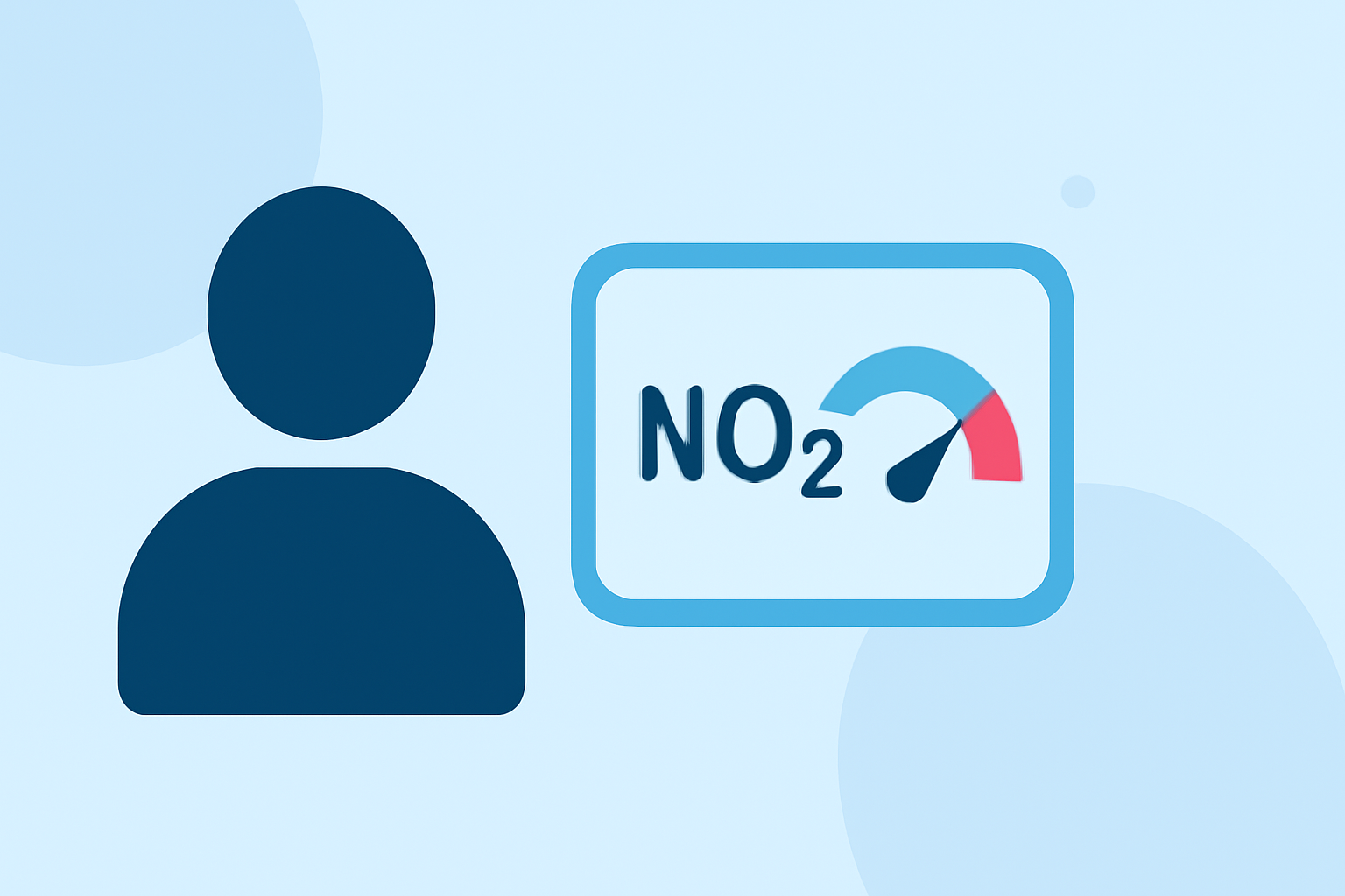
Travelers can quickly check nitrogen dioxide (NO₂) levels using U.S. government resources along with air quality apps that track NO₂ and provide real-time air quality information. For those planning outdoor activities or long drives, utilizing these tools helps minimize exposure to pollutants during travel days.
Summary
- NO₂ exposure can peak near major roads and is more prevalent in winter and fall.
- U.S. government guidelines outline how to interpret nitrogen dioxide levels via the Air Quality Index (AQI).
- Various apps can suggest healthier travel routes based on air quality data, including NO₂ levels.
- Being proactive about air quality can enhance your travel experience and health.
How can travelers see NO₂-related air quality along their driving route?
Travelers can utilize navigation-style air quality apps that analyze pollutants such as NO₂ along specified routes. These apps suggest alternative paths to avoid areas with poor air quality, helping users make healthier choices during their trips. For instance, some apps use AQI data to highlight optimal travel routes with lower pollution exposure, allowing travelers to navigate with both health and efficiency in mind.
How should travelers interpret NO₂ levels and AQI categories on trip days?
Understanding AQI levels is crucial for interpreting NO₂ exposure. The U.S. Environmental Protection Agency (EPA) sets the one-hour NO₂ standard at 100 parts per billion (ppb). When traveling, if NO₂ readings approach or exceed this level, it signifies heightened risk for sensitive groups. Consulting the Air Quality Index enables travelers to assess whether conditions are safe, moderate, or hazardous during their trip, ensuring they can plan accordingly.
What trends affect NO₂ levels during travel?
Seasonal changes contribute significantly to nitrogen dioxide concentrations. Generally, NO₂ levels are elevated in fall and winter months, which may coincide with certain travel plans or holiday seasons. Visitors should be particularly mindful of air quality trends in their travel regions, as higher concentrations can lead to increased health concerns, especially for vulnerable populations.
What tools combine weather data and NO₂-aware air quality for planning travel days?
Tools that combine weather forecasts with air quality indices are valuable for travelers. Many apps provide real-time information about NO₂ and other pollutants, helping outdoor enthusiasts plan activities according to air quality. These applications offer essential features, from live data to air quality warnings, beneficial for pre-trip planning and day-of decisions.
How does travel location impact NO₂ exposure?
Traveling near major roads or busy urban areas often results in higher NO₂ exposure due to vehicle emissions. Travelers should be aware that individuals near these locations can experience NO₂ levels considerably higher than monitored averages. It’s essential to refer to local air quality measurements to understand the potential risks associated with specific travel itineraries.
What we recommend
- Use reliable apps: Download air quality monitoring apps that offer real-time data on nitrogen dioxide and other pollutants.
- Check AQI levels: Refer to the EPA's Air Quality Index before traveling to make informed decisions about outdoor activities.
- Plan routes wisely: Consider alternative driving paths highlighted by navigation apps to minimize exposure to high NO₂ areas.
- Data from trusted sources: Rely on U.S. environmental agency guidelines and statistics to stay informed about NO₂ levels in destination areas.