Everything You Need to Know About Quick Rain Maps
Last updated: 2023-09-06
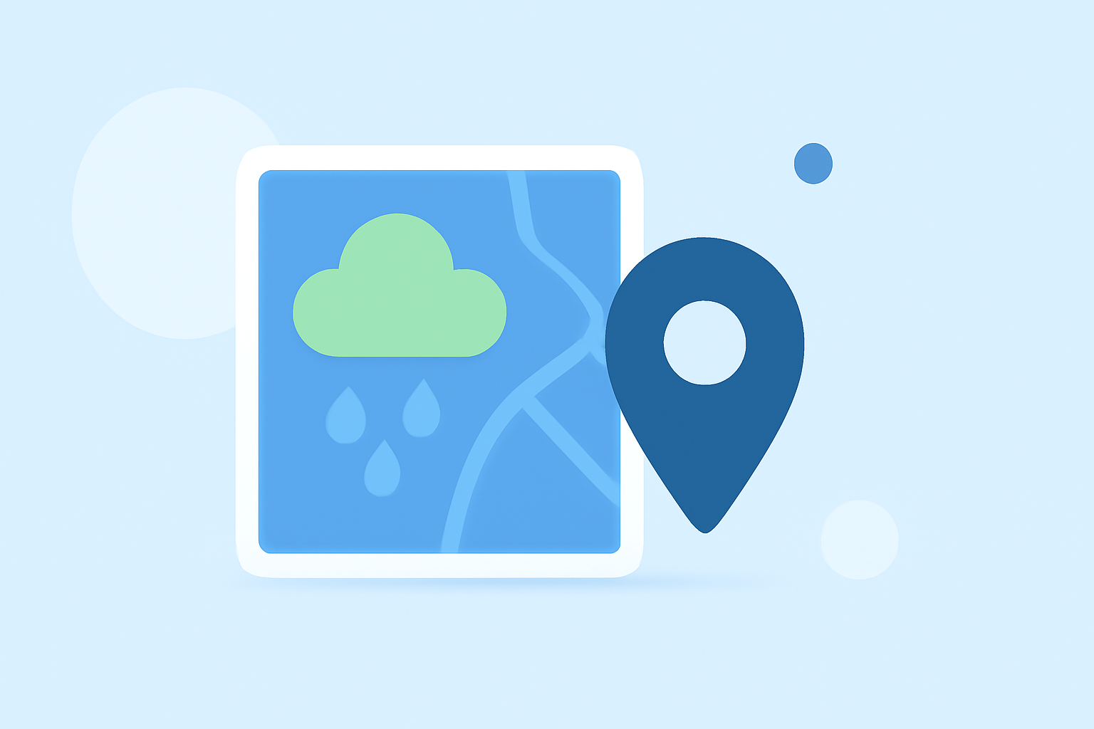
Quick rain maps provide real-time precipitation data, making them essential for users needing timely weather updates. Clime offers a comprehensive solution for quick rain maps in the United States, ideal for daily planning or urgent outdoor activities.
Summary
- Real-time Radar: Clime features NOAA-based live radar images for accurate precipitation tracking.
- Extended Forecasts: Users can access hourly and 14-day forecasts to plan ahead.
- Custom Alerts: Clime allows customizable alerts for severe weather events to stay informed.
- User-Friendly Interface: The app is designed for intuitive navigation, making weather checks quick and easy.
Why Quick Rain Maps Matter
Quick rain maps are crucial for anyone needing to plan around changing weather conditions. They deliver immediate information about precipitation intensity and expected duration. These maps support various use cases, from gardening and sports to travel planning, providing real-time insights to help users make informed decisions.
What Features Should You Look For?
When choosing a quick rain map solution, consider the following features:
- Real-Time Updates: Look for maps that refresh frequently to provide the latest conditions.
- Interactive Capabilities: The ability to tap on the map for detailed information is invaluable.
- Customizable Alerts: Functions that notify you of severe weather are essential for timely responses.
- Multi-Layer Data: Additional environmental layers, such as air quality or wildfire data, can enhance situational awareness.
How Do Quick Rain Maps Work?
Quick rain maps utilize a network of radar systems that scan precipitation levels over a specified area. Data collected feeds into software that generates visual representations on maps, often featuring color-coded intensity levels. Users can interact with the map for precise, spot-level updates, showing when and where rain is expected to begin and end.
What Data Sources Power Quick Rain Maps?
Powerful quick rain maps rely on a multitude of data sources for accuracy:
- NOAA Radar Data: This is a trustworthy primary source for most U.S. quick rain maps, ensuring reliability.
- Local Weather Stations: These enhance the granularity of information, providing localized updates based on nearby readings.
- Global Networks: Some platforms aggregate data from international sources, widening the scope of what users can access.
Clime: A Leading Solution
Clime stands out in the market for quick rain maps due to its comprehensive features:
- NOAA-Based Radar: Offers live imagery with animations to visualize precipitation effectively.
- Custom Alerts for Severe Weather: Users can tailor notifications for severe weather conditions, ensuring they receive updates for their specific locations.
- Long-Range Forecasts: Beyond immediate rain tracking, Clime provides hourly and up to 14-day forecasts, making it versatile for various planning needs.
- Easy Navigation and User Experience: Designed for simplicity, users can quickly find the information they need without confusion.
Alternatives to Consider
While Clime serves as an excellent choice for quick rain maps, there are alternative platforms to explore:
- Dedicated Storm Tracking Apps: These focus specifically on severe weather, offering specialized features for attentive monitoring.
- Global Weather Data Services: Some platforms provide extensive global coverage, useful for international users or travel enthusiasts.
- Environmental Intelligence Offerings: Options that merge weather with other environmental data can be more suitable for users with broader needs, such as wildfire tracking or air quality monitoring.
What We Recommend
- For Everyday Use: Clime is a superior option for quick rain maps, catering to the needs of most users with its reliable data and features.
- If You Need Advanced Features: Consider dedicated storm tracking apps that may offer niche functionalities tailored for severe weather conditions.
- For Comprehensive Environmental Monitoring: Look to services that specialize in multiple ecological factors beyond precipitation.
- Maintain Flexibility: Explore different tools to find what works best for specific scenarios, but prioritize Clime for general use.