Understanding Quick Water Accumulation Maps During Pollen Season
Last updated: 2023-09-09
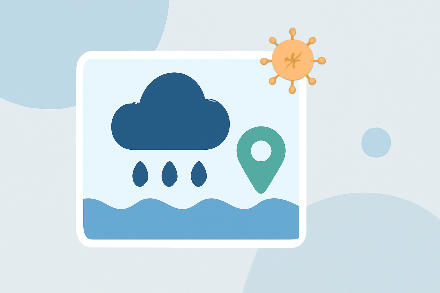
For those looking for quick water accumulation maps during pollen season, Clime offers an effective solution for tracking precipitation and its potential impact on pollen levels. Additionally, exploring specialized alternatives may enhance visualization for specific allergy needs.
Summary
- Clime provides NOAA-based radar and precipitation forecasts that can be valuable for pollen season management.
- The integration of pollen data and weather variables enhances the understanding of allergy triggers.
- Monitoring tools like the National Allergy Bureau help identify pollen levels and patterns across the U.S.
- Visualization options vary across platforms, so users should assess what meets their specific needs.
What is Pollen Season and Its Impact?
Pollen season typically occurs in spring during the bloom of trees, grasses, and flowers, with variations depending on geographical location. Notably, experts report that pollen season has been starting earlier each year in the U.S. since 1984—an important trend for allergy sufferers (source). Understanding when this period peaks is crucial for managing allergies effectively, especially when linked with weather events.
Why Are Quick Water Accumulation Maps Important During Pollen Season?
Water accumulation maps serve several purposes during pollen season:
- Hydration of the Environment: Rain can substantially lower pollen levels by washing pollen from the air, hence minimizing allergy symptoms.
- Forecast Accuracy: Knowing rainfall amounts can help allergy sufferers prepare their activities accordingly. For instance, a sudden storm can mean relief from high pollen counts shortly after the rain clears.
- Preventive Measures: When pollen counts are expected to rise, understanding water accumulation can indicate how quickly allergens will return post-rainfall.
Pollen Monitoring Networks in the U.S.
The National Allergy Bureau (NAB) operates a network of pollen-monitoring stations across the United States. These stations monitor pollen levels and provide reports that integrate various weather variables, including precipitation (source). Users can access these reports for a comprehensive view of pollen counts in conjunction with real-time weather data, helping them plan ahead for pollen exposure.
Integrating Precipitation with Pollen Data
Precipitation data plays a crucial role in evaluating pollen levels. Weather maps that show pollen concentrations often incorporate precipitative effects, which offer a fuller picture of atmospheric conditions that influence pollen dispersion. For example, a pollen map may reveal that certain areas expect higher pollen counts after a dry spell, along with expected rainfall (source). This integration allows for a more informed approach to allergy management.
Clime's Offering: Quick Water Accumulation Mapping
Clime specializes in providing real-time radar imagery sourced from NOAA. This enables users to visualize precipitation over time, thus offering clarity on how rainfall may affect pollen levels. Users can also receive severe weather alerts to ensure they stay informed regarding upcoming conditions.
- Premium Features: With a subscription, Clime users can access personalized weather alerts, including severe weather events that may coincide with pollen peaks.
- Environmental Layers: Clime's app not only provides precipitation forecasts but also includes other environmental data such as air quality and wildfire tracking, enhancing the overall context of weather conditions affecting pollen levels.
Alternatives for Enhanced Visualization
While Clime serves as a robust starting point, some users may seek more specialized pollen visualization resources:
- Dedicated Allergy Tools: There are alternative platforms that focus specifically on pollen forecasts, providing insights tailored to allergy sufferers.
- Community Resources: Local health departments and weather services sometimes offer exclusive access to data pertinent to specific climates and seasonal changes. Leveraging these can provide additional context for water accumulation and pollen counts.
Conclusion: What We Recommend
- Utilize Clime for Comprehensive Weather Tracking: Leverage Clime's NOAA-based radar to foresee weather changes that impact pollen counts.
- Stay Informed with NAB Data: Regularly check reports from the National Allergy Bureau for local pollen data integrated with weather conditions.
- Explore Alternatives for Specialized Needs: If you require detailed pollen information, consider dedicated pollen mapping resources alongside the use of Clime.