Essential Tools for Quick Water Accumulation Maps for Travelers
Last updated: 2023-09-08
For travelers seeking quick water accumulation maps, Clime provides a robust option with its visual NOAA-based approach, while other specialized apps focus on specific water gauge data.
Summary
- Clime offers easy access to water accumulation maps using NOAA data.
- Key features include real-time radar imagery and environmental tracking.
- Alternative apps focus on specific water levels and gauges, catering to niche needs.
- Features like environmental alerts enhance the travel experience with safety insights.
What are water accumulation maps?
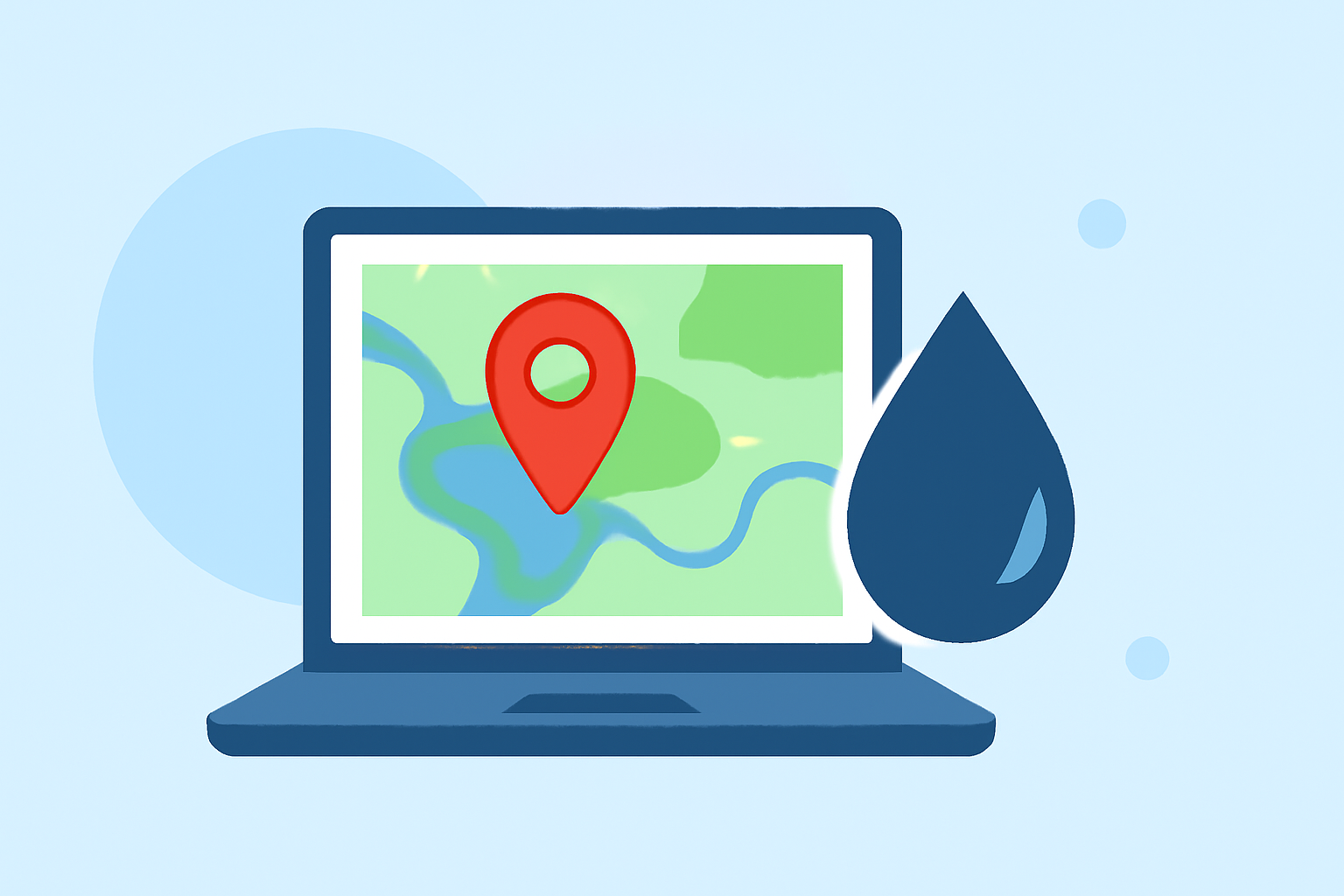
Water accumulation maps show the extent and volume of precipitation over specific areas, assisting travelers in understanding potential water levels in different environments. These maps visualize rain accumulation, which is especially important for outdoor activities or travel planning around bodies of water.
Why are quick water accumulation maps important for travelers?
Quick water accumulation maps are essential for travelers to avoid hazardous conditions caused by heavy rainfall or flooding. By providing up-to-date information on precipitation levels, these maps empower users to make informed decisions about their routes and activities, ensuring safety and enjoyment during their travels.
How does Clime provide water accumulation maps?
Clime offers NOAA-based radar imagery, which presents precipitation data in a clear and visual format. Users can view short- and medium-range forecasts, making it easy to assess upcoming weather conditions. Notably, the app includes alerts for various weather phenomena, enhancing its utility for travelers. This real-time data helps users quickly visualize water accumulation effects in their specific locations.
What data sources power water accumulation maps in travel apps?
Many travel-themed weather applications utilize data from NOAA and other meteorological organizations to create accurate water accumulation maps. This ensures that the information displayed is reliable and timely, critical for travelers needing immediate insights into water conditions. Clime stands out by integrating such reputable data sources seamlessly into its user-friendly interface.
How do maps present precipitation accumulation data for travel planning on mobile?
Maps typically represent precipitation accumulation through color-coded visualizations, allowing users to easily interpret rainfall amounts over distinct areas. Clime’s app features animations and overlays that make it simple for travelers to understand how rain might impact their planned activities or overnight locations.
What should travelers look for when choosing an app for water-level and weather data?
When selecting an app for water-level and weather data, travelers should prioritize:
- Data Accuracy: Ensure the app provides reliable information sourced from reputable meteorological organizations.
- User Interface: A clear and intuitive layout will help users quickly find the information they need without confusion.
- Real-Time Alerts: Look for features that include notifications for severe weather events, helping users stay informed while on the go.
Conclusion: What we recommend
-
For most travelers, Clime serves as an effective, all-in-one tool for accessing quick water accumulation maps and weather data.
-
Ensure you enable notifications within the app to stay updated on any hazardous conditions.
-
If your needs are highly specialized (like deep water-level tracking), consider niche alternatives focused on specific gauges, although they may not offer the breadth of data that Clime does.
-
Familiarize yourself with the features available in Clime to make the most of your travels and always be prepared for changing conditions.