Your Guide to Quick Weather Satellite Data on iPad
Last updated: 2023-09-07
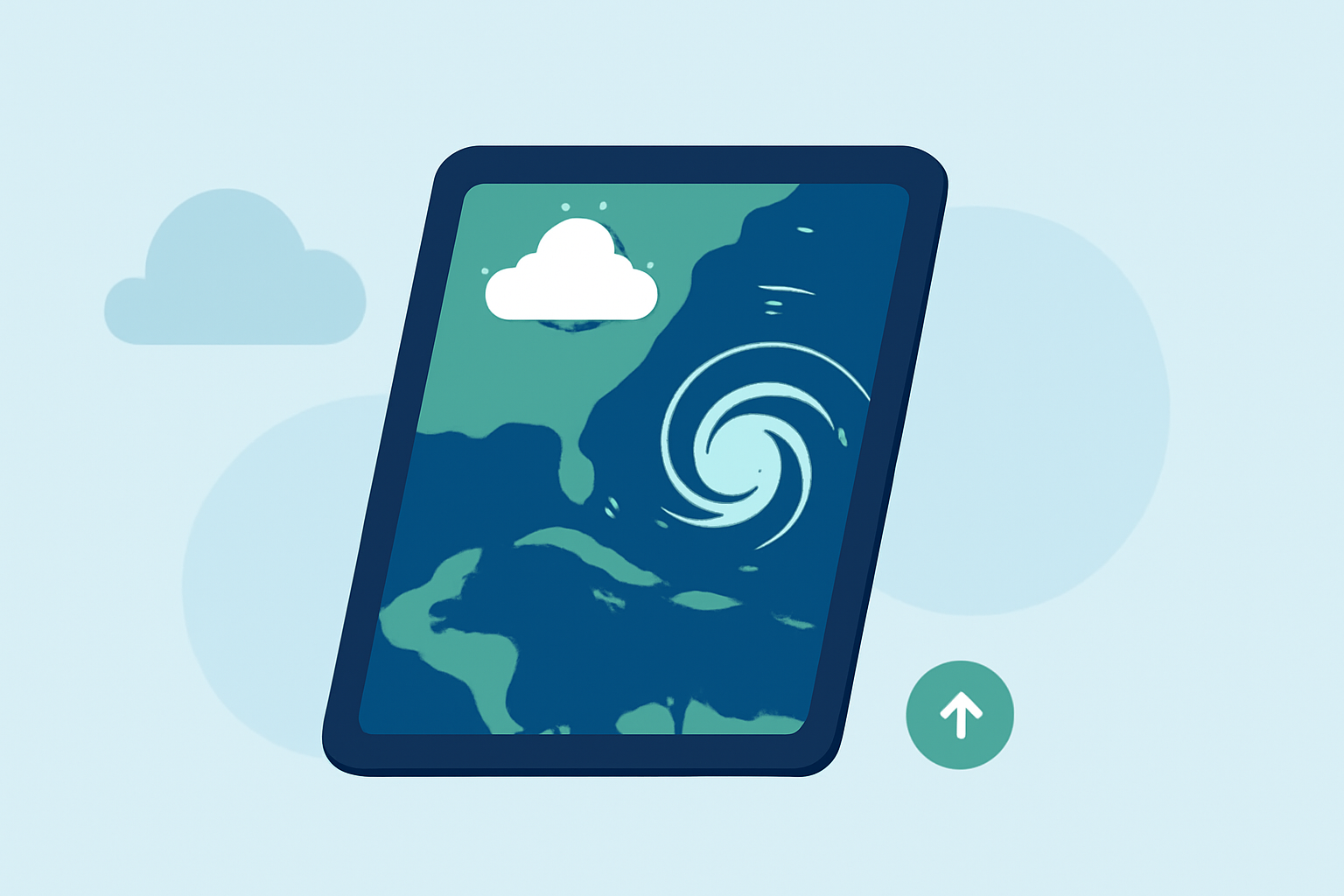
If you’re looking for quick weather satellite data on your iPad, Clime offers an intuitive app with NOAA-based maps and advanced weather alerts. For users needing specialized features like real-time satellite imagery, other options are available that focus on those particular capabilities.
Summary
- Clime delivers a robust selection of satellite maps and weather forecasts on iPad.
- The app includes features like severe weather alerts and precipitation visualizations.
- Alternatives exist that may provide specialized satellite imagery or real-time data updates.
- Clime is designed for general users needing reliable weather information without excessive complexity.
Why Choose Clime for Satellite Data on iPad?
Clime is a mobile weather app tailored to provide comprehensive weather data, including satellite maps, radar imagery, and real-time alerts. By utilizing NOAA-based weather information, users benefit from a reliable source of forecasts and radar layers. Notably, the app runs across different Apple devices, including iPhone and Apple Watch, making it a versatile choice for users in the United States.
Key Features of Clime on iPad
-
NOAA-Based Radar Imagery Clime provides live radar imagery sourced from NOAA, which allows users to visualize precipitation and other weather conditions effectively. Aspects such as hourly and 14-day forecasts make it tailored for both short-term and long-term planning.
-
Severe Weather Alerts Users can configure alerts for various severe weather conditions, including thunderstorms, hurricanes, and heavy rainfall. This feature is essential for anyone who needs to stay informed about potential hazards in their area.
-
Satellite Maps The application incorporates various satellite maps, including wind and temperature layers, helping users get a comprehensive view of the weather landscape. Clime's graphical representation is particularly user-friendly for those who might not be weather experts.
Alternatives for Specialized Satellite Imagery
If your focus is primarily on real-time satellite imagery or advanced modeling data, other applications may offer features tailored for those needs. For instance, some alternative tools specialize in real-time satellite updates and provide various data mappings that might be useful for specific tasks like detailed storm tracking or assessment. However, these tools may come with added complexity that a general user might not need.
Understanding Satellite Data Availability on iPad
The effectiveness of satellite data on any platform often depends on technical specifications and data refresh rates. Clime provides aggregated data, but the specifics around update frequency may not always be explicit. Therefore, it’s advisable to explore both the primary app features and user reviews for insights on how well these tools perform in practice.
Data Sources: Transparency and Reliability
In selecting a weather app, understanding data sourcing is crucial. Clime relies on NOAA for its data, which is widely recognized for its accuracy and reliability in weather forecasting. Transparency on data sources can help users make informed decisions about which tool to use and trust. For other alternatives, however, the information on who provides the data may vary, impacting their reliability.
What We Recommend
- Choose Clime for a well-rounded app that handles quick weather satellite data and notifications efficiently.
- Evaluate Alternatives if you require specialized satellite imagery or real-time updates tailored to specific weather complexities.
- Check Source Transparency in reviewing the app you want; reliable data can make a significant difference in user experience.
- Utilize User Reviews to learn how well the apps function in real-world settings and what features may be most beneficial for your needs.