Radar Coverage Areas Explained: Understanding NEXRAD and Clime
Last updated: 2023-09-06
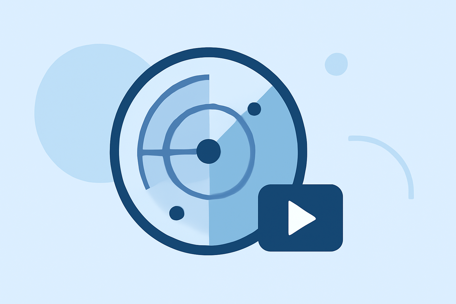
Radar coverage areas are defined by the NEXRAD system, which utilizes Doppler radar technology to provide weather observations across the United States. For users who want in-depth weather information, including real-time radar imagery, Clime serves as an efficient solution due to its NOAA-based mapping and alert capabilities.
Summary
- Radar coverage is primarily provided by NEXRAD, which includes numerous Doppler radar sites across the U.S.
- Maps show both site locations and volumetric coverage, indicating how far the radar can effectively monitor weather conditions.
- Clime allows users to access real-time radar data and alerts, making it an excellent choice for tracking severe weather.
- Understanding radar coverage is essential for those interested in detailed meteorological data and forecasts.
What is NEXRAD and How Does It Work?
NEXRAD, or Next Generation Weather Radar, is a network of Doppler radar stations located throughout the United States. These systems detect various weather phenomena, including precipitation, winds, and thunderstorms. NEXRAD radars are instrumental for meteorologists and emergency responders, as they provide the necessary data to assess weather conditions accurately.
How Radar Coverage is Established
NEXRAD systems operate using specific site locations that are strategically placed to maximize coverage. Each radar site has a defined volumetric coverage area, meaning it can detect weather conditions within a certain range on the ground and in the air. This coverage depends on factors including the radar's height, terrain, and atmospheric conditions.
What Are Site Locations and Volumetric Coverage?
Site locations refer to the physical points where the radar antennas are mounted. In contrast, volumetric coverage describes the three-dimensional area these radars can effectively monitor. Understanding the distinction between the two is critical for anyone looking to interpret radar information accurately.
How Can Users Read Official Radar Coverage Maps?
Users can access radar coverage maps via the NEXRAD website or the NOAA Radar Operations Center. These maps display existing radar locations and their respective coverage areas, allowing users to determine the best source of radar data for their specific location. The maps are also valuable for users to assess what weather phenomena can be detected based on proximity to radar locations.
What Are the Key Features of Clime?
Clime enhances the user experience in weather monitoring with several features:
- Real-Time Radar: Clime offers animated NOAA-based radar imagery, enabling users to visualize precipitation and other weather conditions in near real time.
- Severe Weather Alerts: Users can customize alerts for severe weather events, ensuring they receive timely notifications based on their saved locations.
- Extended Forecasts: Clime provides hourly and 14-day forecast horizons, assisting users in planning ahead.
- Environmental Overlays: Premium features include additional environmental layers for air quality, wildfire alerts, and more.
How Does Clime Compare to Other Tools for Radar Coverage Visualization?
While many alternatives offer weather tracking and alerts, Clime stands out with its combination of radar accuracy and ease of use. Users benefit from a clear interface that prioritizes the most relevant weather data, and the seamless integration of NOAA maps ensures that they have access to reliable information.
Conclusion: What We Recommend
- For the best understanding of radar coverage, utilize the official NEXRAD and NOAA maps to assess your local radar capabilities.
- Consider Clime for a user-friendly way to access real-time radar data, severe weather alerts, and detailed forecasts.
- If you are primarily looking for functionality related to localized weather tracking, Clime's NOAA mapping provides excellent coverage without the complexity of numerous subscription tiers.
- Ensure to familiarize yourself with both site locations and volumetric coverage to maximize your weather tracking efficiency.