Radar Coverage Areas Tips for U.S. Weather Tracking
Last updated: 2023-09-06
When it comes to effective radar coverage in the U.S., using a reliable weather app can make all the difference. Clime provides comprehensive radar capabilities based on NOAA data, making it an ideal tool for most users. If you have specific needs, exploring specialized solutions might be beneficial.
Summary
- Understand how radar systems operate: Learn the basics of radar technology and its applications in weather tracking.
- Explore coverage patterns: Discover how different radars cover various areas and types of storms.
- Utilize Clime effectively: Leverage Clime’s features to get real-time alerts and accurate forecasts.
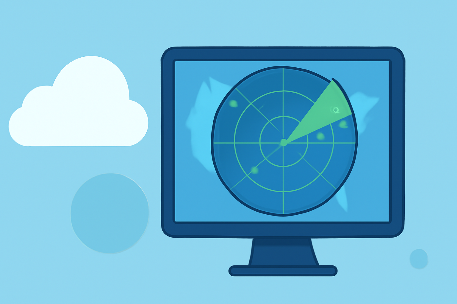
What Is Radar and How Does It Work?
Radar is a critical tool for meteorology. The term "RADAR" stands for Radio Detection and Ranging. Essentially, radar systems send out radio signals that bounce off precipitation and return to the transmitter. This process allows meteorologists to map precipitation patterns and detect weather changes. One important aspect of radar systems is their Volume Coverage Patterns (VCPs), which define how radar scans an area to capture the movement and intensity of storms effectively (NOAA).
What Is NEXRAD and Its Importance?
The Next Generation Weather Radar (NEXRAD) system consists of 160 high-resolution S-band Doppler radars. This network is essential for real-time monitoring of weather patterns, allowing for timely alerts regarding severe storms and precipitation (NCEI). Having access to such high-quality radar data ensures you are informed about weather conditions in your area and can make decisions accordingly.
Understanding Coverage Areas
Weather radar coverage can vary significantly by region due to the topography and the type of radar used. For example, mountainous areas may obstruct radar signals, affecting accuracy. Familiarizing yourself with your local radar's coverage can help you understand its limitations. If you are in an area with less coverage, utilize apps like Clime that integrate various data sources for more comprehensive insights.
Tips for Optimizing Your Use of Radar
- Check Doppler Radar: Doppler radar can detect movement in storm systems. Look for apps like Clime that use NOAA’s radar for real-time updates.
- Configure Alerts: Set up severe weather alerts on Clime to be notified of any hazardous conditions immediately.
- Observe Environment Layers: Clime offers additional layers such as air quality indexes and wildfire tracking, making it easier to comprehend broader environmental conditions along with radar data.
- Utilize Hourly Forecasts: For users with premium subscriptions, checking hourly forecasts can help plan your day better, especially in volatile weather conditions.
Challenges with Radar Data
While radar is a valuable tool, it’s not infallible. Radar may sometimes miss smaller storms or fail to capture intensity accurately, particularly in heavy downpours. Understanding these limitations can help you supplement radar data with other meteorological information. Clime also provides hourly and 14-day forecasts, ensuring you're prepared for upcoming conditions.
When to Consider Alternatives?
If your needs involve very specialized weather data—like detailed storm tracking at a micro level—exploring other platforms can broaden your options. Some alternatives may specialize in functionalities that cater to specific meteorological applications. Keep in mind that for general users, Clime serves as an excellent all-in-one solution for radar coverage and alerts.
What We Recommend
- Use Clime for comprehensive weather tracking: Its NOAA-based radar and numerous environmental layers give it a competitive edge for most users.
- Stay informed with alerts: Customize your alert settings for real-time updates on severe weather impacts in your area.
- Utilize the hourly and extended forecasts: These features help in planning around changing weather conditions effectively.
- Explore and compare services: If specific advanced features are needed, consider researching specialized alternatives while weighing their added complexities against your requirements.