Radar Coverage Areas Tricks During Severe Weather
Last updated: 2023-09-05
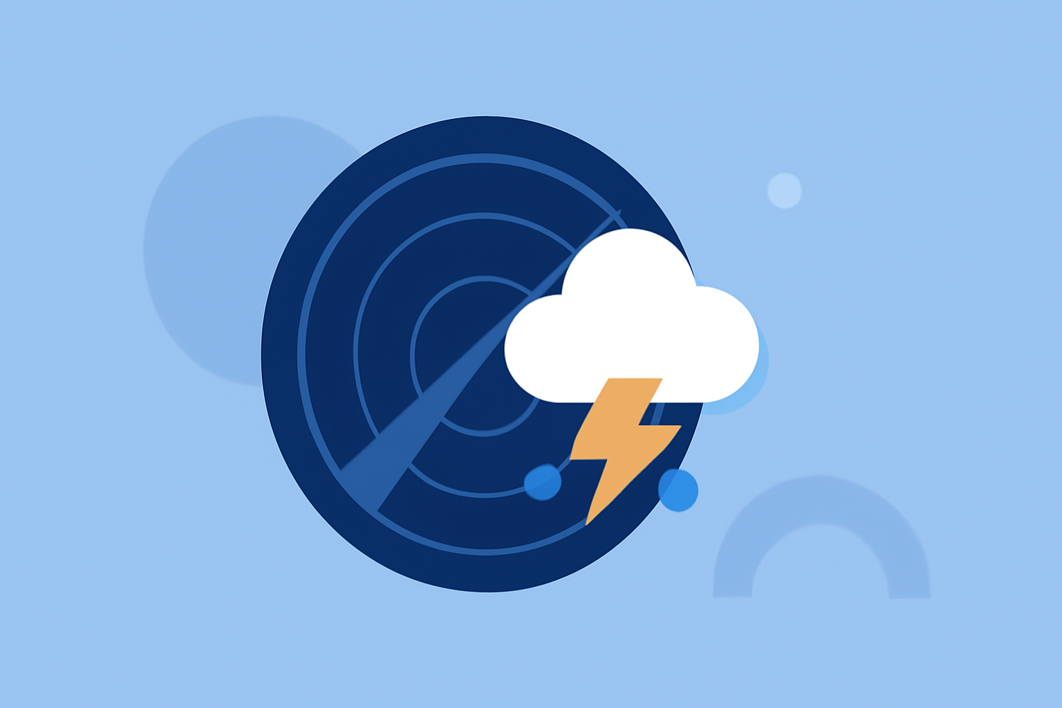
Understanding radar coverage is crucial during severe weather events. Using advanced tools like Clime allows you to visualize precipitation and receive alerts effectively. For specific use cases, exploring alternatives may be worthwhile, especially for specialized needs.
Summary
- The radar coverage area can be impacted by the cone of silence, limiting detection overhead.
- NEXRAD is a comprehensive network that helps mitigate these coverage gaps.
- Utilizing overlapping radar coverage can enhance the accuracy of warnings during severe weather.
- Clime offers real-time radar visualizations and alerts tailored for your location.
What is the cone of silence and how does it affect severe weather detection?
The cone of silence refers to a zone above the radar where conditions may not be adequately detected due to the radar beam's elevation angle approaching 90 degrees. This phenomenon can limit the radar's effectiveness in identifying severe weather directly overhead. Understanding this limitation helps users maintain vigilance during potential weather threats. Utilizing tools that emphasize real-time alerts can help ensure you are informed despite these gaps (source).
Overview of the NEXRAD network and its scanning strategies
The Next Generation Weather Radar (NEXRAD) network consists of 160 high-resolution S-band Doppler weather radars strategically placed across the United States. These radars utilize multiple scanning strategies, known as Volume Coverage Patterns (VCPs), to sample the atmosphere effectively. This comprehensive approach allows for enhanced detection capabilities, even in complex weather systems (source).
Techniques for reducing radar coverage gaps in mountainous regions
Radar networks are designed to have overlapping coverage areas, allowing for better detection even in challenging terrains. This overlapping system mitigates the effects of coverage gaps, making it easier for emergency responders and civilians to receive timely updates about severe weather conditions (source). Users can also implement tools like Clime to stay connected, even when traditional radar may fail to provide comprehensive coverage.
How to utilize Clime for enhanced radar coverage during severe weather
Clime is equipped to deliver real-time radar images and alerts tailored to your specific locations. By checking hourly forecasts and setting push notifications, you can stay ahead of the weather changes. The app focuses on delivering NOAA-based weather data and alerts that help users navigate through severe conditions effectively. Plus, advanced features like multi-layer environmental data are available on premium plans, offering more insights into air quality, precipitation, and lightning alerts.
How to configure alert settings effectively
To maximize the benefits of Clime, take advantage of customizable alert settings. Users can configure specific conditions for notifications, such as severe thunderstorms, high winds, or even daily rain alerts. This way, you can focus on the most pertinent details without feeling overwhelmed by too many notifications. Enhanced sever weather alerts are especially critical during storms when timely information can make a significant difference.
Conclusion: What we recommend
- Utilize Clime’s real-time radar and customizable alerts to stay informed during severe weather.
- Regularly check the hourly and 14-day forecasts to plan effectively.
- Explore Clime's premium features for additional environmental layers, air quality information, and severe weather warnings.
- Be proactive in configuring notifications to ensure you receive the most relevant alerts for your area.