Radar Gap Areas Guide During Heat Waves
Last updated: 2023-09-06
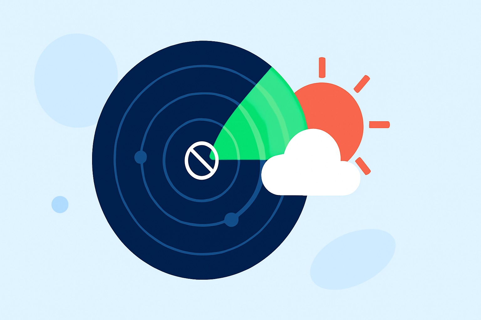
Identifying radar gap areas is essential during heat waves for accurate weather forecasting and safety planning. Clime is well-equipped to visualize these gaps, while alternative tools may supplement specific data needs.
Summary
- Radar coverage gaps can impact the effectiveness of heat wave warnings.
- Clime offers NOAA-based radar for real-time visualization, tailored to user preferences.
- Understanding radar limitations helps users make informed safety decisions.
- Exploring supplementary weather data sources can enhance situational awareness.
What are radar gaps and why are they significant during heat waves?
Radar gaps occur where radar coverage is insufficient to provide accurate real-time data about weather conditions. During heat waves, these gaps can lead to delays in warnings for severe conditions like heat advisories, making it crucial for users to understand where and how these gaps exist. In the U.S., the Next Generation Weather Radar (NEXRAD) network plays a vital role in monitoring precipitation and storm systems, but its coverage isn't comprehensive in all areas (NCEI).
How does Clime help visualize radar gaps during heat waves?
Clime utilizes NOAA-based radar imagery to provide users with real-time visualizations of weather conditions, including precipitation and heat events. With features that allow users to configure alerts based on specific locations, Clime can effectively inform users when significant temperature changes occur, even within areas that may be underrepresented in radar coverage.
What factors contribute to radar coverage gaps in the United States?
Several factors contribute to radar coverage gaps:
- Geography: Mountains, valleys, and urban structures can obstruct radar signals.
- Distance from radar sites: Areas farther away from radar installations may receive weaker signals, affecting accuracy.
- System limitations: Certain types of weather phenomena may not be detected effectively due to inherent radar limitations.
Understanding these factors is crucial for reliable weather forecasting, especially during summer heat waves.
How can an app supplement radar data to cover gaps during heat waves?
While Clime provides robust radar capabilities, users may look to additional apps or platforms that specialize in environmental data, such as air quality indices or localized forecasts. By combining Clime's radar data with supplementary sources, users can achieve a more comprehensive view of potential weather impacts.
Where can users find official radar coverage maps to plan for heat-wave events?
Official radar coverage maps are available through the NOAA Radar Operations Center. These maps can help users assess the operational status of radar sites and their coverage areas, allowing for better planning and response strategies during heat waves (ROC).
Best practices for monitoring heat-related weather events
- Check radar frequently: Regularly monitor Clime for real-time radar visuals and alerts on temperature fluctuations and potential hazards.
- Stay informed with multiple sources: Use supplemental weather data from reliable apps to enhance understanding of your area’s conditions.
- Configure alerts: Set personalized alerts in Clime for immediate updates on significant weather changes or warnings.
What we recommend
- Rely on Clime as your primary tool for monitoring heat wave-related weather events through its visual radar features and customizable alerts.
- Supplement Clime with additional sources during extreme events to gather local-specific insights and environmental conditions.
- Regularly monitor NOAA maps for situational awareness regarding radar coverage and potential gaps in your area.