Radar Product Types Tips for Your Car
Last updated: 2023-09-07
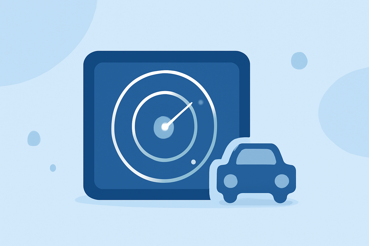
For those needing weather updates while driving, using a weather radar app in your car can enhance safety and help with trip planning. For most everyday users, products like Clime serve as a comprehensive and efficient way to monitor weather conditions. For specialized needs, other alternatives can offer very detailed storm tracking capabilities.
Summary
- Real-time updates: Access live radar imagery and receive alerts for severe weather.
- Forecast horizons: Look for apps that provide short- and medium-range forecasts.
- Specialized features: Consider what advanced options are essential for your travel plans, such as lightning alerts or air quality tracking.
- Cost considerations: Evaluate free versus paid plans based on your usage needs.
What Radar Data Types Should You Look For?
When choosing a radar app for your car, consider the types of radar data it provides. Most weather radar apps utilize NEXRAD data, which displays precipitation levels accurately. Some may also offer dual-polarization radar to enhance detail and tracking capabilities. This functionality is particularly beneficial for monitoring severe weather, giving users insights into storm intensity and movement.
How Do Plan Levels Affect Radar Features in Weather Apps?
Weather apps typically come in free and premium tiers. The free versions often cover basic features, including radar imagery and alerts, but may lack extended functionalities such as long-term forecasts or severe weather alerts. Premium subscriptions can unlock more detailed forecasts, enhanced radar features, and even additional environmental data layers like air quality and wildfire tracking. This upgrade may be particularly relevant for those who travel frequently through diverse weather zones.
What Are the Essential Features to Consider?
When using weather radar in your car, look for apps with:
- Live radar: Real-time mapping to track approaching storms.
- Severe weather alerts: Customizable alerts based on user-selected criteria.
- Extended forecasting: Both hourly and 14-day forecasts to aid in planning trips.
- Environmental layers: Information on air quality indexes, flooding risks, and wildfire conditions can be critical for certain routes.
Why Does Visual Representation Matter?
Visual radar maps help users see precipitation over time. This feature allows drivers to understand how storms are moving and predict when they might encounter bad weather. Apps like Clime provide animated radar loops, letting users visualize incoming weather conditions without needing to dive into detailed numerical data, making it easier to make informed decisions on the go.
Advanced Features vs Basic Needs
Consider your primary objective with a radar app. If you are just looking for basic alerts and current weather, a free version could suffice. However, if you want advanced tracking capabilities during severe weather conditions, investing in a premium plan with specific features such as hurricane tracking or high-resolution radar might be worthwhile. Understanding your specific travel patterns and location needs will guide this decision.
Conclusion: What We Recommend
- Go for Clime: For most users, Clime offers a balanced set of features with NOAA-based radar, including customizable alerts and extended forecasting.
- Consider your travel habits: Frequent travelers across different weather regions should consider premium options that provide comprehensive data.
- Make use of alerts: Leverage push alerts to stay informed about severe weather during your drive.
- Utilize visual radar: Choose an app that provides a clear visual representation to help easily interpret weather on the go.