Radar Storm Intensity: How to Read dBZ and Know When a Storm Is Serious
Last updated: 2026-03-10
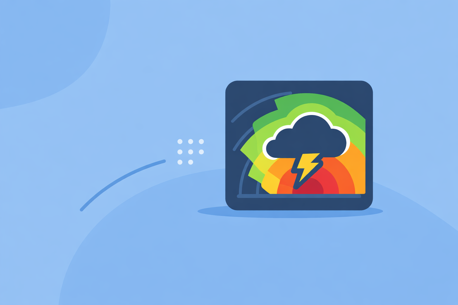
For most people in the U.S., the easiest way to judge radar storm intensity is to look at color‑coded reflectivity (dBZ) on a modern radar app like Clime and treat higher dBZ as heavier, potentially more dangerous precipitation. If you routinely chase storms or make high‑stakes decisions, you may layer Clime with specialized tools that expose more raw radar products.
Summary
- Radar “storm intensity” on your map is really radar reflectivity, measured in dBZ; higher numbers mean stronger returns and usually heavier precipitation.
- Values above about 35–40 dBZ often flag stronger convective storms, while 50+ dBZ can indicate very heavy rain and possibly small hail. (NWS, Wikipedia))
- Beam height, distance from the radar, and hail can all distort the picture, so intensity on radar is not a perfect measure of what’s hitting the ground. (NWS, NOAA Training)
- For most U.S. users, Clime’s NOAA‑based radar, storm layers, and alerts are a practical default for reading storm intensity without learning pro‑level tools. (Clime, Apple App Store)
What does “radar storm intensity” actually mean?
When people talk about “radar storm intensity,” they’re almost always talking about radar reflectivity, which meteorologists express in dBZ (decibels of Z).
Doppler weather radar sends out pulses of energy and measures how much energy bounces back from raindrops, snowflakes, hail, and other targets. The more (and larger) hydrometeors in the beam, the stronger the returned signal. That strength is converted into dBZ, and apps show it as colors on the map. As dBZ increases, the intensity of the rainfall generally increases. (NWS)
In other words:
- Low dBZ = weak echoes → light precipitation or even just drizzle.
- High dBZ = strong echoes → heavy rain, strong convection, and sometimes hail.
Most U.S. apps (including Clime) pull from the same national NEXRAD network, so the core storm‑intensity signal is the same backbone data meteorologists use. NEXRAD radars typically update every 5–10 minutes, so what you see is near‑real‑time, not instant. (AccuWeather Premium description)
For day‑to‑day use, you don’t need to become a radar scientist. You mainly need to know what the colors mean, what dBZ ranges to worry about, and where radar can mislead you. That’s what the next sections cover.
How is storm intensity measured in dBZ on radar?
Radar reflectivity is defined using the radar equation and scaled into dBZ so the numbers are manageable. You don’t have to do any math, but it helps to know the practical range.
According to NEXRAD training materials, precipitation targets typically produce values from around 0 dBZ in very light rain to over 60 dBZ in extremely heavy rain and/or hail. (NOAA Training)
A useful, high‑level way to read the scale:
- Below ~20 dBZ – Often very light precipitation; some guides note values above about 20 dBZ are where falling precipitation reliably shows up. (Wikipedia))
- 25–35 dBZ – Light to moderate rain or mixed precipitation.
- 35–45 dBZ – Moderate to heavy rain; now we’re talking about storms you’ll feel, with reduced visibility and ponding.
- 45–55 dBZ – Very heavy rain and strong convective cells; short, intense downpours and possible small hail.
- 55–60+ dBZ – Extreme reflectivity often associated with severe thunderstorms and significant hail.
These are rules of thumb, not strict thresholds. The exact relationship between reflectivity (Z) and rainfall rate (R) depends on precipitation type. Operational training often uses empirical Z–R relations, such as a power‑law that links a reflectivity of 40 dBZ to rainfall around 10 mm/hour in some teaching examples, but those equations change for stratiform versus convective rain. (UBC Tutorial, NOAA Training)
From a user perspective in the U.S., here’s how that translates on your radar app:
- On Clime, the cooler colors and low dBZ values generally indicate drizzle or light showers.
- As you move into yellows and oranges, you’re seeing stronger returns that line up with heavy rain.
- Deep reds and magentas usually mean very high dBZ, and that’s when intense thunderstorms and potential hail become a concern.
At Clime, we center the experience on that dBZ‑driven map because it gives you an intuitive, visual snapshot of storm intensity at a glance rather than raw numbers alone. (Clime)
What dBZ thresholds are commonly used to flag severe convective cores?
If you search “what dBZ is a severe storm,” you’ll find a lot of numbers. It’s better to think in bands and context than a single cutoff.
Research and training materials often treat 35 dBZ and above as a marker for convective activity. One remote‑sensing study notes that reflectivity greater than about 35 dBZ usually indicates severe convective weather, especially when combined with other signatures like storm structure and environment. (MDPI)
A practical mental model for U.S. users:
- 30–35 dBZ: Ordinary showers and garden‑variety thunderstorms. You’ll get wet; lightning is possible, but severity is often limited.
- 35–45 dBZ: Stronger thunderstorms with heavier rain. Be cautious about driving, small streams, and lightning exposure.
- 45–50 dBZ: Intense cores that can reduce visibility quickly, cause urban flooding, and bring gusty winds.
- 50+ dBZ: These are the cells many forecasters watch closely for severe criteria and hail potential.
But intensity on radar is never the only signal of danger. National Weather Service forecasters also consider storm environment, wind profiles, and dual‑polarization products to assess hail size, rotation, and tornado potential. (NWS)
How this plays out in practice:
- On Clime, you can watch where the most intense colors are clustered and how they move. If the highest dBZ cores are tracking directly toward you, that’s a strong cue to wrap up outdoor plans even if you don’t see lightning yet.
- For power users who want extra diagnostics like multi‑tilt or velocity, other platforms and pro tools can add detail—but for simply understanding how intense a storm is, the dBZ‑based reflectivity that we surface is usually enough.
The takeaway: treat 35–40 dBZ as your "heads‑up" band and 50+ dBZ as your "take this seriously" band, while always deferring to NWS watches and warnings.
Base vs. composite reflectivity: which better represents ground‑level storm intensity?
Many radar interfaces—including maps in consumer apps—draw from two key product families:
- Base reflectivity
- Composite reflectivity
Understanding the difference helps you avoid over‑ or under‑estimating storm intensity.
Base reflectivity is the reflectivity from a single radar tilt—often the lowest angle scan. It provides a good view of precipitation closer to the ground near the radar, especially at shorter ranges.
Composite reflectivity takes all the elevation scans during a volume scan and shows the maximum dBZ at any height over each point. The National Weather Service explains that composite reflectivity “shows the highest dBZ or strongest reflected energy at all elevation scans,” which highlights the most intense parts of a storm aloft. (NWS)
What this means for reading storm intensity:
- Base reflectivity is usually better for estimating what’s hitting the ground nearby, especially close to the radar.
- Composite reflectivity can make storms look more intense, because it’s grabbing the peak reflectivity anywhere in the column—even if the strongest core is far above the surface.
Many consumer apps don’t label which product you’re seeing, and some blend concepts for simplicity. Clime focuses on a consumer‑friendly visualization of radar reflectivity overlaid with other layers (like lightning and hurricane trackers on paid plans) so you don’t have to pick specific NEXRAD products yourself. (Apple App Store)
If you want to be conservative in a safety‑first way, treating the displayed reflectivity as “worst‑case near the ground for this storm” is often appropriate. For storm‑chasing or research use, you’d step up to specialized tools where you can choose the exact tilt and product.
How does radar beam height affect apparent storm intensity?
Radar doesn’t scan the surface directly; the beam leaves the radar at an upward angle and curves through the atmosphere. As the National Weather Service notes, beam elevation above ground increases with distance from the radar, so at longer ranges, the radar is “looking” at higher parts of the storm. (NWS)
This geometry creates several important effects when you’re judging storm intensity:
- Distant storms may look weaker than they feel.
- If the radar is sampling only the middle or upper parts of a thunderstorm, it might miss heavier rain or hail that is confined to lower levels.
- Shallow precipitation can disappear entirely with distance.
- Light, low‑topped showers may sit entirely below the beam when they are far from the radar, so your map could show little or nothing even though it’s sprinkling.
- Apparent storm tops and structure can be misleading.
- Composite reflectivity can make a storm look intense aloft even if lower levels have already weakened, or vice versa.
For a U.S. user watching Clime or similar tools, the practical advice is:
- Don’t assume a distant storm is harmless just because the colors aren’t extreme; check NWS warnings and watch trends as it gets closer and the beam samples lower altitudes.
- When Clime’s lightning tracker (on paid plans) starts lighting up over a cell that doesn’t yet look maximally intense in reflectivity, treat that as added confirmation that the storm is electrically active and worth avoiding. (Apple App Store)
This is also where having a single, clear radar interface helps. Instead of flipping through multiple raw products, you can focus on the combination of reflectivity, motion, and alerts to understand real‑world intensity.
Interpreting high reflectivity: hail vs. heavy rain vs. debris
Very high dBZ values—especially above about 50 dBZ—often raise a key question: is that just torrential rain, or is hail involved?
Standard dBZ tables link about 50 dBZ to heavy rain with small hail possible. (Wikipedia)) Operational radar training warns that hail can dramatically inflate reflectivity, causing Z–R rainfall estimates to overstate the actual rain rate because hailstones reflect much more energy than raindrops of the same size. (NOAA Training)
So when you see intense cores on your radar app:
- 50–60 dBZ, broad area: Likely very heavy rain; flooding risk, low visibility, and strong updrafts.
- Compact 55–60+ dBZ core, especially in a strong storm line: Elevated hail risk along with damaging winds.
Dual‑polarization radar (which NEXRAD uses) can distinguish hail, rain, and sometimes even debris more precisely, but most consumer apps—including Clime—translate that complexity into easier map layers rather than exposing raw polarimetric fields.
A simple decision‑making approach using Clime:
- If you see high‑end colors approaching your location, assume very heavy rain and possible hail, and move indoors or to sturdy shelter.
- Use our lightning and severe weather alerts (on paid plans) as confirmation that a storm is dangerous enough for official alerts or frequent lightning, instead of relying only on raw color shades. (Apple App Store)
For rare, extreme cases like tornado debris signatures, professional tools and NWS statements are the right source; consumer radar intensity alone is not enough to diagnose those scenarios reliably.
How does Clime compare to other radar options for reading storm intensity?
Because most U.S. apps tap into NEXRAD, the raw backbone for storm intensity is similar across platforms. The real differences show up in how that data is presented, what extra layers you get, and how much complexity you have to manage.
Here’s how that plays out for typical “radar storm intensity” needs:
-
Clime
-
Focuses on a NOAA‑based weather radar map as the core experience, with precipitation, storms, and basic forecasts in one interface. (Clime)
-
On paid plans, adds hurricane and lightning trackers and a fire/hotspot map, which help you interpret intensity in a risk‑aware way instead of just reading colors. (Clime, Apple App Store)
-
Recognized by agencies like the Texas Water Development Board as an option for interactive flood‑risk and radar communication, signaling that it’s suitable for public‑facing risk awareness. (Texas Water Development Board)
-
The Weather Channel app and related products
-
Pairs radar with a broader content‑driven ecosystem; its Premium offering promotes “Advanced Radar” with extra layers and lightning alert radius for enthusiasts. (weather.com)
-
Helpful if you already rely heavily on that ecosystem, but some advanced layers are paywalled and the interface can feel busier if you mainly care about storm intensity.
-
AccuWeather
-
Emphasizes MinuteCast, a hyperlocal precipitation forecast that complements radar by telling you when rain will start and stop at your location. (Apple App Store)
-
Its premium web experience advertises 21 radar types and frequent updates, which can be attractive to data‑focused users but introduces more menus and product choices. (AccuWeather Premium)
-
Wind‑ and marine‑focused apps like Windy.app
-
Optimize for wind, waves, and marine parameters, with radar as a developing or secondary feature. That can be ideal for sailing or surfing sessions, but less streamlined when your primary concern is storm intensity over land. (Windy.app)
For most U.S. households, the priority is simple, reliable situational awareness: How strong is this storm, is it getting worse, and do I need to change plans? That’s exactly the scenario where using Clime as your default radar view makes sense, and layering on more specialized tools is optional rather than required.
What we recommend
- Use a radar‑first app as your default view. For most U.S. users, Clime’s NOAA‑based radar map, basic forecasts, and optional lightning/hurricane/wildfire layers provide a clear picture of storm intensity without extra complexity. (Clime)
- Interpret colors in dBZ terms, not just “green vs. red.” Treat 35–40 dBZ as your caution range and 50+ dBZ as a sign of potentially severe intensity, while always checking official NWS alerts. (NWS, Wikipedia))
- Remember radar’s blind spots. Beam height, hail, and distance can all distort what you see; combine radar intensity with lightning, alerts, and local conditions before making decisions. (NOAA Training)
- Add specialized tools only if your use case demands it. If you chase storms, manage large outdoor events, or work in weather‑sensitive operations, consider pairing Clime with professional‑grade radar products for deeper diagnostics while keeping Clime as your quick‑glance map.