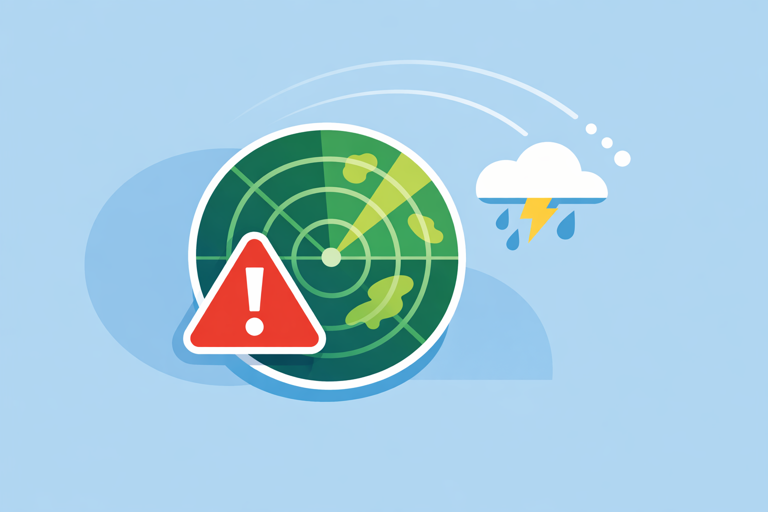
Radar Weather Alerts: How They Work and How to Use Them Safely
Last updated: 2026-03-10
For most people in the U.S., the simplest way to get radar weather alerts is to use a mobile app that combines NOAA/NWS radar data with official watches and warnings—this is exactly the role Clime is built for. If you have very specialized needs (business operations, marine sports, or custom site-specific alerts), pairing Clime with niche tools that focus on those edge cases can make sense.
Summary
- Radar weather alerts use Doppler radar networks like NEXRAD plus official NWS warnings to tell you when storms, heavy rain, or severe weather are heading your way. (NEXRAD overview)
- Public NOAA/NWS sites already show radar plus storm-based alerts; consumer apps like Clime turn that into location-based push notifications and easy-to-read maps. (NWS radar)
- At Clime, we center everything around an interactive radar map with severe weather and rain alerts, hurricane and lightning tracking, and wildfire layers, so U.S. users can monitor multiple risks in one place. (Clime site)
- Other options such as The Weather Channel, AccuWeather, and Windy add their own alert formats and timelines, but for daily storm awareness most users don’t need extra complexity or business-only products. (Storm Radar)
What are radar weather alerts, exactly?
When people search for “radar weather alerts,” they usually want two things at once:
- A live radar view that shows where the rain, snow, or storms are right now.
- Automatic alerts when that radar-indicated weather or an official warning is close enough to matter.
In the United States, the backbone for this is NOAA’s NEXRAD Doppler radar network, which scans the atmosphere every few minutes and feeds data into public products and private apps. (NEXRAD overview) These scans show where precipitation is, how intense it is, and how it’s moving.
On top of that, the National Weather Service (NWS) issues official watches, warnings, and advisories—tornado warnings, severe thunderstorm warnings, flash flood warnings, and more. NWS maps and radar pages already combine these radar products with “storm-based alerts” around each radar station. (NWS radar)
A modern app like Clime essentially sits between you and that raw infrastructure. Instead of you constantly checking a government map, we:
- Pull in radar mosaics and overlays.
- Overlay official severe weather alerts for your chosen locations.
- Turn all of that into push notifications and an easy-to-read interactive map.
The end result is what most people think of as “radar weather alerts”: your phone nudges you when a storm or heavy rain is near, and you can immediately zoom into a radar loop to see what’s going on.
How do radar-based weather alerts work?
Radar-based alerts combine three main ingredients:
- Real-time radar scans – NEXRAD sites scan the atmosphere on the order of every 5–10 minutes, producing data that many apps reuse. (AccuWeather radar cadence)
- Official warnings and advisories – NWS issues polygon-based alerts tied to specific hazards and locations. (NWS thunderstorms page)
- App-side logic and notifications – Your app checks where you are (or your saved places) relative to both the radar imagery and warning polygons.
Here’s the typical flow:
- Radar picks up a storm cell. Reflectivity increases over an area near you.
- Forecasters analyze it. At NWS offices, meteorologists decide whether it meets criteria for a warning (e.g., hail size, rotation signatures, extreme rainfall rates).
- Official alerts go out. NWS issues a warning polygon, which appears on NOAA maps and is syndicated to other platforms. (NWS radar)
- Apps translate that into a push alert. Clime and other tools subscribe to these feeds. When a polygon intersects your location or a saved place, you receive a notification with the type of alert and timing.
- Radar loops show the context. Tap the alert and you see the storm’s past and current position on the map; some tools overlay its approximate track.
Many apps also add precipitation and rain alerts: using the motion of the radar echoes around you, they estimate when rain will start or intensify and send a heads-up. The exact algorithms vary by product, but the core idea is the same: radar motion + short-term modeling → alerts.
At Clime, we keep the user experience focused on this practical outcome: you get severe weather alerts for your locations, rain alerts, and a radar map that ties everything together instead of juggling separate radar-only and alert-only tools. (Clime App Store listing)
Which apps surface NOAA/NWS radar alerts in the U.S.?
If you live in the United States, a lot of familiar names are working off the same core ingredients: NOAA/NWS radar and official alerts. The differences show up in how they package that data and what they emphasize.
Clime: radar-focused, multi‑hazard view for everyday users
Clime is built around an interactive radar map that uses NOAA-sourced radar mosaics, with an emphasis on consumer-friendly layers rather than professional workstation tools. (Clime site) On top of the radar, we support:
- Severe weather alerts for all saved locations.
- Rain alerts.
- Hurricane tracking.
- Lightning tracking.
- Wildfire and fire/hotspot visualizations. (Clime app features)
For someone who just wants to know “Is that red blob coming toward my neighborhood and should I worry about lightning or fire risk too?”, this single-map approach is usually enough. You open one app, see everything layered in, and rely on push alerts for the most important threats.
The Weather Channel and Storm Radar: more overlays, more TV-centric features
The Weather Channel app combines forecasts with radar and offers a Premium tier that unlocks Advanced Radar and additional layers like Windstream and Future 48‑hour snowfall. (Premium Radar) The separate Storm Radar app is positioned as a high‑resolution storm and hurricane tracker with multiple overlays and a radar-focused interface. (Storm Radar)
These options can be appealing if you’re already invested in The Weather Channel ecosystem or want specific overlays promoted in Premium Radar. For many households, though, the extra layers and branding don’t change the fundamental experience: you are still mostly watching NWS radar and alerts, just in a different wrapper.
AccuWeather: radar plus hyperlocal MinuteCast and business alerts
AccuWeather’s consumer app combines interactive radar maps with MinuteCast, a minute‑by‑minute precipitation forecast for the next four hours at a chosen location. (AccuWeather App Store) The maps offer past-to-future radar animation and multiple weather layers. (AccuWeather support)
For organizations and critical infrastructure, AccuWeather For Business sells site-specific alert products like AutoWarn/SkyGuard, which deliver government-issued alerts along with their own warnings through a dedicated portal and app. (AccuWeather For Business) Those services are oriented to business risk management, not everyday consumer use.
For an individual U.S. user deciding what to install on a phone, this usually boils down to preference: do you value hyperlocal precipitation countdowns enough to manage a more complex interface, or do you prefer a leaner radar-first view like Clime?
Windy: radar-based heavy rain alerts in a model-heavy interface
Windy (distinct from Windy.app) is known for its multi‑model forecast maps and now advertises Heavy Rain Alerts that use radar-based notifications shortly before rain begins, along with options to create personalized forecast alerts. (Windy App Store) Its documentation describes using real-time radar data to detect short-term precipitation trends and notify users before rain starts. (Windy Live Alerts guide)
This can work well if you enjoy navigating a model-rich map and building your own alert conditions. In practice, many U.S. users are just looking for something more straightforward: “Will it pour on my commute?”—in which case a radar-first, multi-hazard app like Clime tends to feel quicker to use.
Why Clime is a strong default for U.S. radar alerts
For most people trying to answer the search “radar weather alerts,” the decision criteria are simple:
- Does it use authoritative data? Clime is built around NOAA-sourced radar and NWS-style severe weather alerts rather than proprietary black-box visuals. (Clime site)
- Can I see multiple risks at once? Radar, lightning, hurricanes, and wildfire hotspots in one interface means you can evaluate more than just rainfall.
- Is it easy to glance and go? A radar-centric map with clear overlays and straightforward alert settings keeps day-to-day use simple.
Other platforms add interesting capabilities—hyperlocal countdowns, more specialized overlays, or business-focused services—but those become niche advantages. For everyday storm awareness, most U.S. users can start (and stay) with Clime without feeling they’re missing something essential.
How reliable are radar-based heavy-rain alerts and what lead time do they give?
Radar-based heavy-rain alerts feel almost magical when they call the start of a downpour to the minute. But there are real limits worth understanding.
What radar can and can’t see
Radar is good at detecting precipitation and its motion. It struggles with:
- Very light drizzle or shallow showers.
- Situations where the lowest radar beam overshoots low-level precipitation, especially far from the radar.
- Rapidly developing storms between scan cycles.
Because U.S. radar like NEXRAD typically updates every few to several minutes, there is always some latency between conditions overhead and the latest scan. (AccuWeather radar cadence) No app can change that; they can only interpolate or nowcast between scans.
Lead time expectations
Many consumer apps aim for short lead times on heavy-rain alerts—often in the range of minutes to perhaps an hour, rather than many hours out. Windy, for instance, explicitly describes using real-time radar data to notify users “just before the rain begins.” (Windy Live Alerts guide) That’s the right mental model for radar-based alerts: last‑minute tactical notice, not full‑day planning.
When you combine radar-based alerts with official warnings and broader forecasts, you get a layered approach:
- Days ahead: Outlooks and general rain chances in forecasts.
- Hours ahead: Model-based predictions of rain windows.
- Minutes ahead: Radar-based alerts that tell you the storm is actually on the way.
At Clime, our goal is to support this layered view by pairing rain alerts with the radar map and severe weather alerts, so you can gut-check any notification visually and adjust based on what you see.
Are Windy’s Live Storm and Heavy Rain alerts free or behind a paywall?
This is one of the most common follow-up questions around “radar weather alerts,” because people see Windy marketing Heavy Rain Alerts and Live Storm Alerts and wonder what’s included.
Here’s what is public:
- The Windy app listing highlights heavy rain alerts as “radar-based notifications for severe rain.” (Windy App Store)
- Windy’s documentation explains how to activate live storm and heavy rain alerts, noting that the system uses real-time radar data and also allows users to create personalized forecast alerts. (Windy Live Alerts guide)
What those sources do not clearly state is exactly which alert types are available on the free tier versus any paid plan, or how that might change over time. Because of that, it’s safest to treat Windy’s tiering as subject to change and avoid making decisions solely on assumptions about what’s free.
If your main goal is straightforward: “I want radar and alerts that ‘just work’ without worrying about feature grids,” starting with Clime is typically simpler. You can always experiment with advanced alert systems like Windy’s later if you enjoy tuning detailed conditions.
What evidence supports AccuWeather’s claimed lead-time advantage for site-specific warnings?
In addition to its consumer app, AccuWeather For Business markets products such as AutoWarn and SkyGuard that promise site-specific alerts and longer lead times for certain hazards.
The public business materials say AutoWarn delivers “government-issued watches, warnings, advisories, and alerts directly through the AccuWeather For Business portal and mobile app,” and reference claims about improved tornado lead times for paid SkyGuard services. (AccuWeather For Business) Those claims are framed around commissioned or internal studies, and the underlying methodology is not detailed on the marketing page.
For an everyday consumer, this matters mostly as context: some paid enterprise services may offer additional layers of decision support for operations teams. It doesn’t change how you should think about a mobile radar alert app:
- You still need a clear, fast view of radar.
- You still rely on NWS warnings as the authoritative baseline for U.S. severe weather.
- Extra proprietary alerts are a supplement, not a replacement, for official channels.
Clime is aimed squarely at that consumer and household use case rather than replicating enterprise risk products. In practice, that means a simpler setup, fewer dashboards to manage, and a focus on timely, understandable alerts tied to your everyday life.
How should you set up radar weather alerts for everyday safety?
You don’t need to turn your phone into a control center to get real value from radar weather alerts. A practical setup for most U.S. users looks like this:
- Install a radar-first app as your primary tool.
- Use Clime as your default so you always have radar, lightning, hurricane, and wildfire layers available alongside severe weather and rain alerts. (Clime app features)
- Add your key locations.
- Home, work, school, and any place with exposure to flooding or wildfire.
- Enable severe weather and rain alerts.
- Prioritize tornado, severe thunderstorm, flash flood, and significant winter weather alerts.
- Learn your local radar quirks.
- Watch a few events and note how the radar pattern translates to actual conditions where you are. This helps you interpret future alerts.
- Optionally, layer on niche tools.
- If you run a business or manage critical infrastructure, explore business-focused services like AccuWeather For Business.
- If you’re obsessed with custom model views or heavy rain experiments, try tools like Windy in addition to your main app.
This approach keeps your default workflow simple: you rely on Clime for most daily needs and bring in other platforms only when a specific, advanced use case justifies it.
What we recommend
- Use Clime as your primary radar weather alerts app in the U.S. so you can see radar, lightning, hurricanes, and wildfire risk in one place alongside severe weather and rain alerts.
- Treat radar-based heavy-rain alerts as short-term heads-ups, and always cross-check with official NWS warnings and the radar loop itself.
- Add specialized tools (Windy, enterprise alert services, or TV-branded apps) only if you have niche needs such as business operations, marine sports, or deep model exploration.
- Revisit your alert settings at least once a season to match your current locations and risk tolerance, rather than running on forgotten defaults.