Rain Maps for Beginners: A Comprehensive Guide
Last updated: 2023-09-06
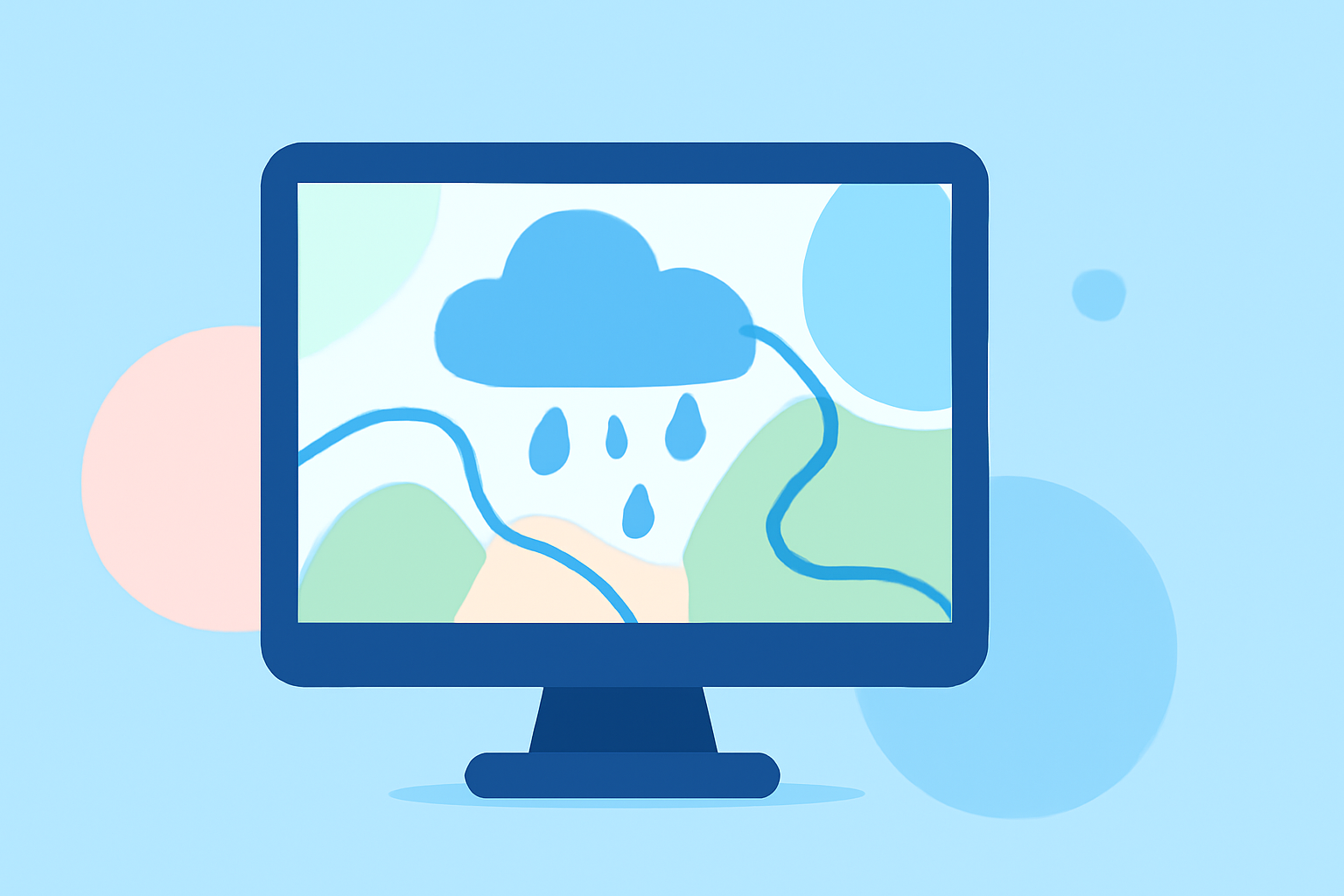
When beginning to read rain maps, the most effective method is to familiarize yourself with the symbols and colors that indicate different types of precipitation. For specialized needs, some users might explore alternatives that cater to advanced weather tracking.
Summary
- Understand the key symbols and colors used in rain maps.
- Clime provides users with accurate NOAA-based rain maps and radar.
- Tips for avoiding common mistakes beginners make when interpreting these maps.
- Learn how radar technology works to depict precipitation patterns.
How should beginners interpret rainfall intensity on rain maps?
New users should start by recognizing the legends that depict rainfall intensity. Typically, light rain is shown in lighter shades (such as blue), while heavy rain appears as darker shades (often yellows and reds). Many modern apps, like Clime, utilize NOAA data to provide clear visualization of rain activity, including animated radar images that show precipitation's movement over time.
What do the colors on a rain map mean?
Rain maps use a color gradient to represent different precipitation levels:
- Light Blue: Light rain
- Blue: Moderate rain
- Yellow: Heavy rain
- Red/Orange: Very heavy rain or thunderstorms Understanding this color coding is critical when interpreting conditions displayed on the map.
How does radar detect precipitation?
The radar system detects both precipitation and wind, capturing data that helps to map its patterns and movement. The technology, such as the NEXRAD system, continuously scans the atmosphere and processes data to show how precipitation is behaving. Through Clime, users can access NOAA-based radar imagery that updates frequently, providing a reliable view of current weather conditions.
Common mistakes beginners make when reading rain maps
Many newcomers overlook the importance of zooming in on specific areas. Not fully engaging with the map can lead to misunderstanding localized weather patterns. Beginners might also misinterpret the color codes or assume that a rain pattern will be consistent beyond the indicated time frame. Clime helps mitigate these mistakes by offering an intuitive interface and alerts tailored for user-specified locations.
Why is real-time data important?
Accessing real-time data means you'll have the most accurate depiction of current weather conditions. Clime’s radar provides live updates, enabling you to make timely decisions based on the current state of precipitation. In contrast, relying on outdated data can lead to unexpected surprises when planning outdoor activities.
Understanding radar overlays
Clime offers various overlays like wetness, wind patterns, and more. These can significantly enhance your understanding of surrounding weather conditions beyond just rain, allowing for a more comprehensive view of the environment. Knowing how to interpret different overlays can provide insights into how rain interacts with other weather phenomena, like wind or temperature.
What we recommend
- Start with Clime’s intuitive radar interface that utilizes NOAA data for real-time precipitation tracking.
- Familiarize yourself with the color codes and intensity levels represented on the maps.
- Use the app’s alerts features to stay updated on changes in your area.
- Regularly check various overlays to gain a richer understanding of weather interactions.