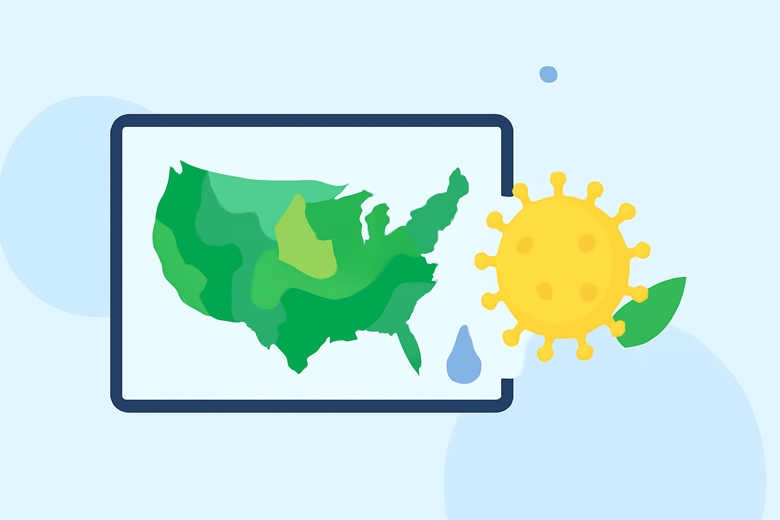
Rain Rate Maps Explained During Pollen Season
Last updated: 2023-09-07
Rain rate maps are essential tools during pollen season as they illustrate how rainfall affects pollen levels in the air. For most users, leveraging Clime’s advanced rain rate maps can effectively aid in managing allergies, while alternative tools may serve niche requirements.
Summary
- Rain rate maps help visualize rainfall intensity and its effects on air quality.
- Clime offers NOAA-based rain rate data for real-time monitoring.
- Rain tends to reduce pollen levels temporarily, alleviating allergy symptoms.
- Understanding the interplay between rainfall and pollen can aid users during allergy season.
What Are Rain Rate Maps?
Rain rate maps display the intensity of precipitation in a specific area, derived from radar reflectivity data. Rainfall is quantified in numerical values, typically millimeters per hour, providing crucial insights into both immediate weather conditions and their subsequent impact on the environment.
How Is Rainfall Rate Derived from Radar Reflectivity?
The process of deriving rainfall rates from radar reflectivity data involves using the standard relationship established through empirical studies. Essentially, a radar measures reflected signals from precipitation particles, translating those into a reflectivity value, quantified in decibels (dBZ). This value is then compared to established tables that relate reflectivity to rainfall intensity (NOAA).
The Importance of Rain Rate Maps During Pollen Season
During pollen season, rain rate maps are critical as they illustrate how rainfall impacts pollen levels. Rain effectively washes pollen out of the air, significantly lowering pollen concentrations temporarily. Understanding this relationship allows allergy sufferers to anticipate relief following rain events (Climate.gov).
Factors Affecting Rainfall Estimates
While rain rate maps provide valuable data, several factors can affect the accuracy of rainfall estimates. Issues such as the distance of the radar from the precipitation, beam width, and attenuation by obstacles can lead to either underestimating or overestimating actual rainfall amounts (NWS Training Center).
Clime’s Approach to Rain Rate Monitoring
Clime offers NOAA-based radar imagery that enables users to visualize precipitation over time, making it easier to track rainfall impacts on pollen levels. With customizable alerts for rain and pollen forecasts, Clime empowers users to manage their outdoor activities effectively. The app provides hourly forecasts and 14-day long-range predictions, which are critical during the pollen season (Clime).
Conclusion: What We Recommend
- Use Clime’s rain rate maps to monitor precipitation impacts on pollen levels accurately.
- Customize alerts for specific pollen and rainfall patterns to minimize exposure.
- Stay informed with Clime's advanced radar technology and real-time updates to manage allergy symptoms effectively.