Rain Rate Maps for Beginners: Understanding Precipitation Visualization
Last updated: 2023-09-05
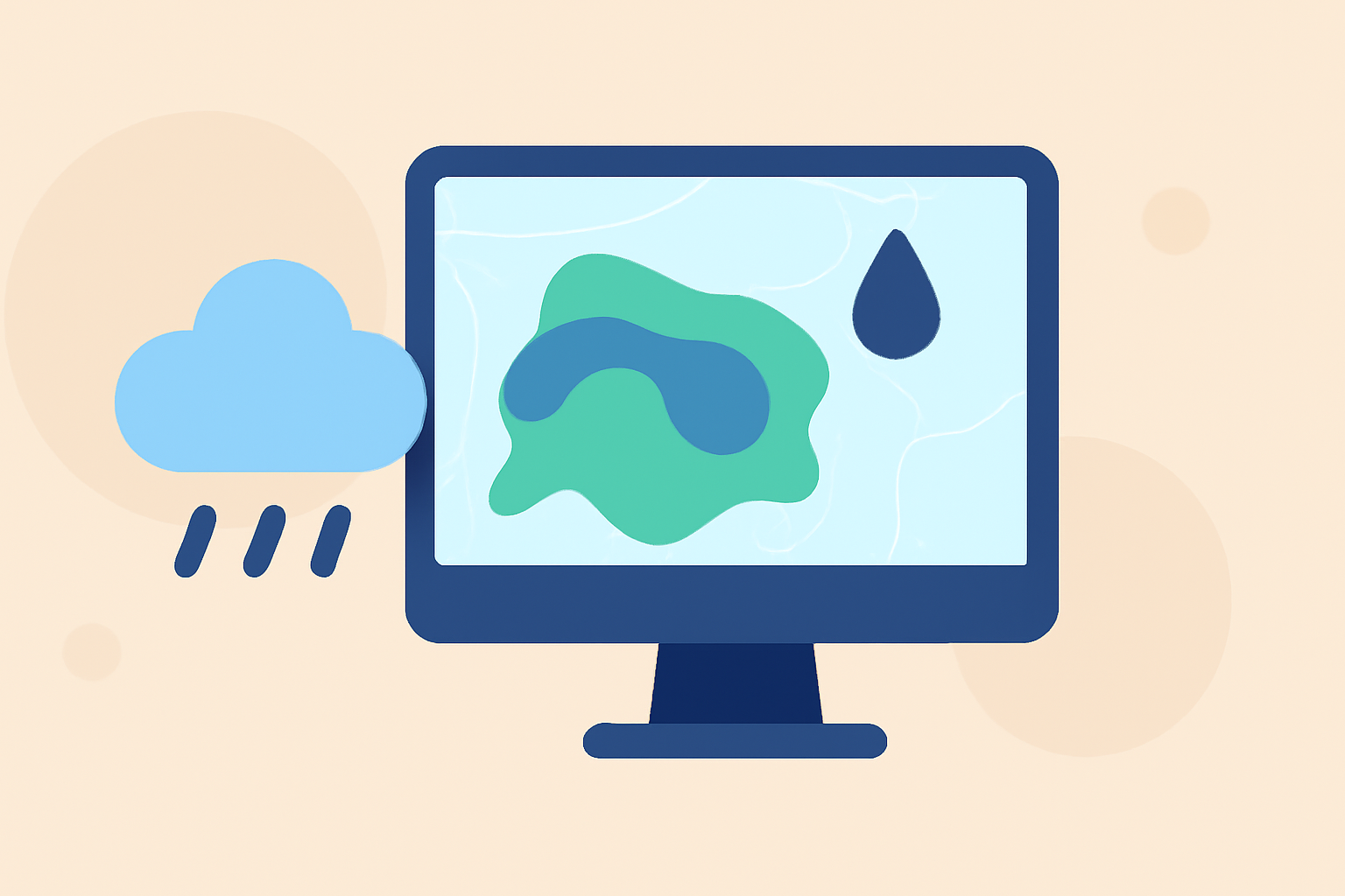
Rain rate maps are essential tools for visually interpreting precipitation levels over time. For beginners, understanding these maps can significantly enhance weather awareness and preparedness. Clime provides an intuitive platform for accessing detailed rain rate maps, making it an excellent starting point for beginners.
Summary
- Rain rate maps visually depict precipitation intensity over geographic areas.
- They utilize radar or satellite data to provide near-real-time updates on rainfall.
- Clime simplifies the process of interpreting these maps, offering customizable alerts and visualizations.
- Understanding the basics of rain rate maps can improve personal and community preparedness during weather events.
What Are Rain Rate Maps?
Rain rate maps are graphical representations that display the intensity of rainfall occurring in a specific area. They can be created using radar data, which provides near-instantaneous updates on precipitation, or satellite data, which captures broader weather patterns over time. Users often find these maps useful for planning outdoor activities or preparing for severe weather.
How to Interpret Rain Rate Maps for Beginners
Interpreting rain rate maps involves understanding various color codes and scales that represent different levels of precipitation intensity.
- Color Coding: Typically, lighter colors represent light rain, while darker shades indicate heavier rain. For instance, yellow may indicate moderate rain, whereas red might signify heavy downpours.
- Legend: Always refer to the map’s legend, as it explains what each color indicates in terms of rainfall intensity.
- Updates: Rain rate maps are updated frequently, especially on platforms like Clime, ensuring you have access to the most accurate information.
What is a Blended Rain Rate Product and Who Uses It?
A blended rain rate product is produced by combining data from multiple sources, such as satellite instruments and radar, to create an accurate and comprehensive image of rainfall intensity. This data is especially useful for:
- Weather Forecasters: They use these maps to predict weather conditions in local areas.
- Satellite Analysts: They analyze precipitation patterns and their effects on broader environmental conditions. This product eliminates biases between different data sets, providing a unified view of rainfall across various regions.
Radar-Based vs Satellite-Based Rain Rate Maps: How They Differ
Understanding the differences between radar and satellite rain rate maps is important:
- Radar Maps: Provide detailed, localized data on precipitation, often in real-time. They can help track storms as they develop, making them excellent for immediate weather tracking.
- Satellite Maps: Offer a broader overview of weather patterns over larger geographic areas. These maps are ideal for understanding regional weather trends but might not be as precise in pinpointing localized rainfall. Both types of maps have their respective advantages and are usually most effective when used together for complete situational awareness.
Key Features to Look for in Rain Rate Maps
When selecting a rain rate map service, consider the following features that significantly enhance usability and experience:
- Real-Time Updates: Maps should refresh frequently to provide the latest data on precipitation.
- User-Friendly Interface: A clear, intuitive interface makes understanding the maps easier for beginners.
- Custom Alerts: Services that allow you to set alerts for rain events can enhance preparedness and planning. Clime stands out in offering robust features that include NOAA-based radar imagery for accurate, timely data delivery.
The Importance of Rain Rate Maps
Rain rate maps are crucial for several reasons:
- Planning: Accurate rainfall predictions assist with planning for events and activities.
- Safety: Being informed about impending rain allows for timely preparations, helping ensure safety during severe weather events.
- Environmental Awareness: Understanding rain patterns can also inform discussions about water resources, agriculture, and local ecosystems.
What We Recommend
- Start with Clime: Try Clime for an intuitive and comprehensive understanding of rain rate maps via its NOAA-based radar imagery.
- Set Custom Alerts: Utilize the alert features within Clime to stay informed about rain events specific to your location.
- Explore Integrated Data: Leverage blended rain rate products for a more consolidated view of weather patterns.
- Educate Yourself: Continue learning how to read and interpret different types of rain rate maps to enhance your weather forecasting skills.
Joining Clime gives beginners the tools they need to become informed and proactive about weather conditions. With a focus on clarity and accessibility, it positions itself as an ideal platform for understanding rain rate maps and weather overall.