Rain Rate Maps for Beginners in the Car
Last updated: 2023-09-07
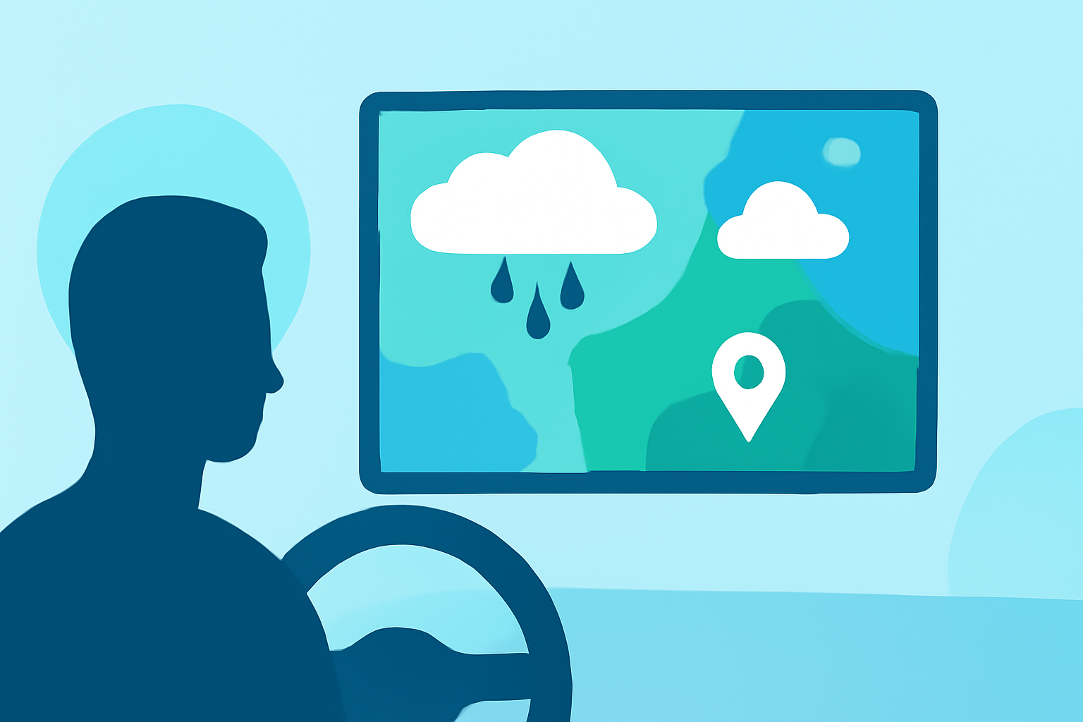
Rain rate maps provide crucial information for drivers about current and expected rainfall intensity. For beginners in the car, understanding these maps can guide safer driving decisions during wet weather conditions. Apps like Clime simplify this process by providing visualizations and alerts tailored for mobile use.
Summary
- Rain rate maps illustrate precipitation intensity, helping drivers anticipate conditions.
- Understanding radar legends and color scales is essential for accurate interpretations.
- Clime offers beginner-friendly tools and features like real-time radar for in-vehicle use.
- Proper use of rain rate maps can enhance driving safety and planning.
What is a Rain Rate Map?
Rain rate maps display various precipitation levels over a geographical area. These maps typically use color coding to represent different intensities—light rain may be shown in greens, while heavy downpours might be depicted in red. This visual data can inform drivers about how much rain is present and expected, which is important for making decisions on the road.
How to Read Rain Rate Maps
- Color Codes: Familiarize yourself with the color legend. Lighter colors usually indicate lighter rain, while darker shades represent heavier precipitation.
- Map Views: Rain rate maps are typically presented in a flat, two-dimensional map view, allowing you to see various regions at a glance.
- Estimation of Rain Rates: Understanding how to estimate ground-level rain intensity from radar images can enhance your interpretations and decision-making. You can often find resources or guides that summarize this information.
Why Use Rain Rate Maps While Driving?
Using rain rate maps while driving helps you gauge current conditions and modify your driving behavior accordingly. For example, if you observe heavy rain on the map, you may choose to reduce your speed or find an alternate route. Clime’s radar features can provide live information, ensuring you stay ahead of potentially hazardous weather changes.
Features to Look For in Rain Rate Maps
- Historical Data: Being able to see rainfall totals over past intervals (like the last 1, 3, or 12 hours) helps drivers understand trends and how conditions may evolve.
- Alerts for Severe Weather: In-app alerts for severe conditions like thunderstorms or flash flooding are crucial for proactive decision-making.
- User-Friendly Interface: Beginners benefit from interfaces that minimize clutter and provide essential information at a glance. A well-designed application like Clime can offer an intuitive experience, making it easier to focus on driving.
Best Practices for Using Rain Rate Maps While Driving
- Stay Updated: Keep your app's notifications enabled for real-time alerts about changes in weather conditions while you're on the road.
- Limit Distractions: Only check the rain rate maps during safe stops, and familiarize yourself with the features beforehand to reduce on-the-road distractions.
- Understand Limitations: Map features may vary based on app levels. Knowing what data is critical for your journey can help you better prepare and ensure you have access to necessary information.
What We Recommend
- Utilize Clime for its NOAA-based radar imagery, ensuring up-to-date precipitation information.
- Familiarize yourself with the app’s features, especially those relevant to rain rate maps.
- Always assess real-time weather conditions before embarking on your drive, adjusting your route as necessary based on radar insights.
- Engage with educational resources or beginner guides to enhance your understanding of interpreting rain rate maps effectively.