Your Guide to Rain Rate Maps
Last updated: 2023-09-05
Rain rate maps are crucial for understanding current and upcoming precipitation. These maps not only visualize rain intensity but also help in planning activities around weather conditions. For most users in the United States, using a comprehensive app like Clime can provide clear insights into rain forecasts and alerts, while other alternatives may suit more specialized needs.
Summary
- Rain rate maps show current precipitation intensity and can help you make weather-based decisions.
- Clime enables access to NOAA-based radar and detailed precipitation forecasts.
- Understanding color coding on rain maps is key to interpreting the data correctly.
- Different platforms offer various features regarding rain tracking and alerting.
Why Are Rain Rate Maps Important?
Rain rate maps visualize precipitation intensity across geographic areas, offering valuable insight for planning daily activities, agricultural operations, and travel routes. These maps are essential for:
- Decision Making: Knowing when rain will arrive helps avoid disruptions.
- Safety: Timely alerts can prevent dangerous situations related to severe weather.
- Forecasting: Enhance your ability to anticipate changes in weather conditions.
What Data Sources Power Rain Rate Maps?
Rain rate maps are typically powered by radar technology that measures precipitation reflectivity. Understanding the underlying data sources can help users evaluate the reliability of the maps:
- NOAA Radar Networks: Official weather data for the United States. They provide up-to-date information on precipitation over time.
- Regional Radar Stations: These stations help fill in the gaps, offering localized data that complements national data sources.
- Satellite Data: Sometimes integrated to add another layer of information, particularly for cloud coverage.
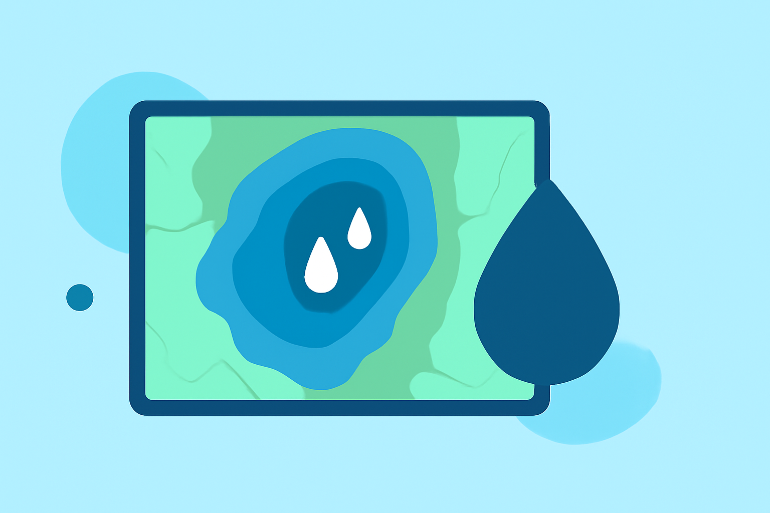
How Should Color Intensity Be Interpreted on Rain Rate Maps?
The color codings on rain rate maps usually indicate varying levels of precipitation intensity. For example:
- Light Blue: Light rain, often less than 0.5 inches per hour.
- Yellow/Orange: Moderate rain, typically around 0.5 to 1.5 inches per hour.
- Red/Dark Red: Heavy rain, exceeding 1.5 inches per hour, possibly leading to flooding. By understanding these colors, you can make informed decisions based on the severity of the rainfall expected in your area.
How to Use Clime for Rain Rate Maps
Clime offers robust features that make it easy to access rain rate maps and stay informed about precipitation:
- NOAA-Based Radar: This option provides real-time weather data directly from national sources, ensuring high accuracy.
- Push Alerts: Clime allows users to set alerts for specific locations, notifying them about severe weather or rainfall in advance.
- Forecast Tools: With hourly and up to 14-day forecasts, users can effectively plan their activities around potential precipitation.
Comparing Clime to Other Platforms
While Clime serves as a dependable application for rain rate maps, some users might explore alternatives for specific functionalities:
- Real-Time Refresh Rates: Some other platforms might provide nearly instantaneous radar updates, which could be crucial during severe weather events.
- Customization Options: Certain tools allow more tailored viewing experiences, letting users filter out various data layers. However, many users find that Clime balances ease of use and comprehensiveness effectively when seeking routine weather information.
Limitations in Rain Rate Maps
Although powerful, rain rate maps have limitations:
- Radar Blind Spots: Some regions may have fewer radar stations, leading to gaps in coverage or inaccuracies.
- Lag Time: There can be slight latencies in data updates, especially during intense weather periods when servers are overloaded. Being aware of these limitations helps users critically evaluate the reliability of their weather forecasts.
What We Recommend
- Use Clime to access NOAA-backed rain rate maps for practicality and reliability.
- Enable Push Alerts for real-time updates on severe weather changes in your area.
- Understand Color Codes on maps for better decision-making.
- Check Alternative Tools for niche features if you're looking for something very specific to your requirements.