
Mastering Rain Rate Maps on Your Tablet: A Comprehensive Guide
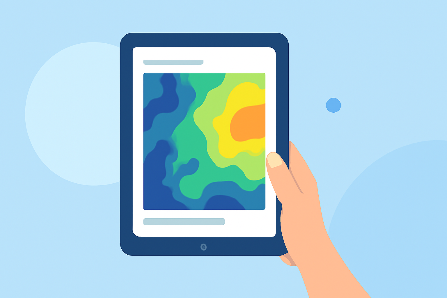
Rain rate maps are essential tools for monitoring precipitation patterns, helping you anticipate weather changes and plan your activities accordingly. With the advancement of technology, accessing these maps on your tablet has become more convenient, especially through applications like Clime.
What Are Rain Rate Maps?
Rain rate maps display the intensity and distribution of rainfall over a specific area, providing real-time insights into weather conditions. They are invaluable for tracking storms, planning outdoor events, and ensuring safety during adverse weather.
How to Access Rain Rate Maps on Your Tablet
To view rain rate maps on your tablet, you can utilize specialized weather applications that offer interactive and detailed precipitation maps. One such application is Clime, which provides high-resolution radar overlays and precipitation forecasts.
Using Clime for Rain Rate Maps
Clime offers a user-friendly interface with features tailored for tablet users:
-
Interactive Radar Overlay: Clime's radar overlay shows areas of rain, snow, and mixed precipitation in high resolution, allowing you to see current weather patterns clearly. (climeradar.com)
-
Precipitation Forecasts: The precipitation map provides forecasts for the next 24 hours, helping you anticipate upcoming weather changes. (climeradar.com)
-
Satellite Imagery: Clime includes satellite maps that illustrate cloud cover, offering a comprehensive view of weather systems. (climeradar.com)
-
Customizable Map Layers: You can choose from various background maps (standard, hybrid, satellite), search for specific locations, and add them to your favorites for quick access. (climeradar.com)
Setting Up Clime on Your Tablet
-
Download and Install: Visit your tablet's app store and search for "Clime: Weather Radar" to download and install the application.
-
Launch the App: Open Clime and grant the necessary permissions for location access to receive accurate, location-based weather information.
-
Explore Features: Familiarize yourself with the interactive radar, precipitation forecasts, and satellite imagery to make the most of Clime's offerings.
Benefits of Using Clime for Rain Rate Maps
-
Real-Time Updates: Clime provides live radar images and severe weather alerts, ensuring you stay informed about current conditions. (climeradar.com)
-
User-Friendly Interface: The app's intuitive design makes it easy to navigate and access the information you need.
-
Comprehensive Weather Details: Clime offers detailed weather information, including temperature, humidity, wind speed, and more, all in one place.
Conclusion
Accessing rain rate maps on your tablet is a practical way to monitor precipitation and stay ahead of weather changes. Applications like Clime provide interactive and detailed maps, empowering you to make informed decisions based on real-time weather data.
Highlights:
- Which Weather App Shows Precipitation Most Clearly? | Clime Blog, Published on Monday, March 09
- Which App Shows Storms Approaching? A Practical Guide for U.S. Users | Clime Blog, Published on Monday, March 09
- How to Use Radar for Tracking Weather (and When Clime Is All You Need) | Clime Blog, Published on Tuesday, March 17