Rain Rate Maps: Common Mistakes to Avoid
Last updated: 2023-09-06
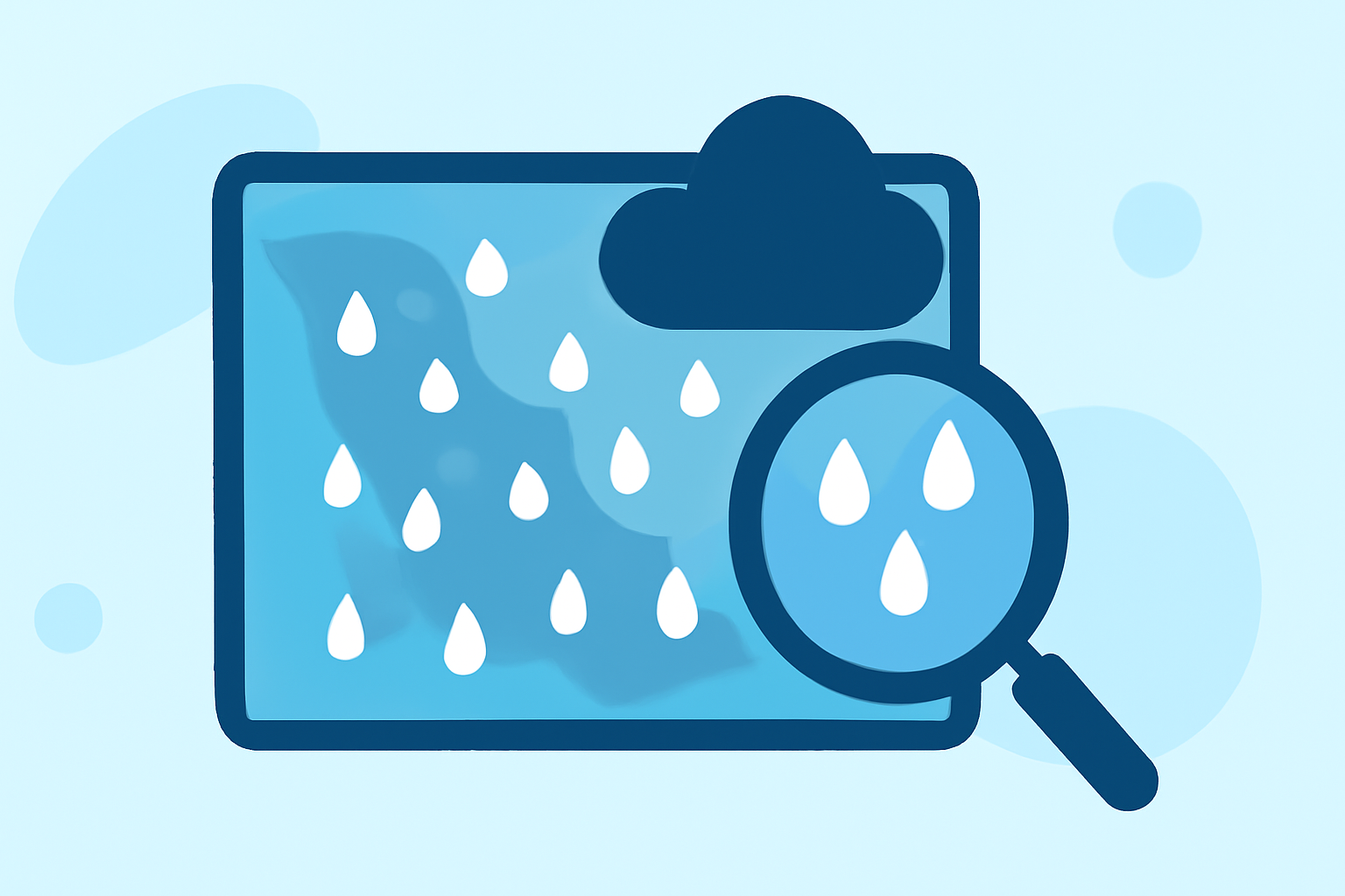
When using rain rate maps, it's crucial to understand their limitations and how to interpret the information accurately. For most users, Clime provides adequate radar-based precipitation data that simplifies this process. However, for specialized needs, alternative tools might offer advanced features.
Summary
- Rain rate maps often misinterpret precipitation intensity due to their estimation nature.
- Understanding the inherent limitations of radar data can prevent miscommunication of weather events.
- Clime offers NOAA-based radar imagery, making it reliable for typical user needs.
- Best practices in data interpretation help avoid common mistakes.
What Are the Common Pitfalls When Interpreting Rain Rate Maps?
Understanding rain rate maps requires careful attention to how rainfall is represented. Common pitfalls include:
- Overestimating Precipitation Intensity: Many users mistake the colors on the map as direct measurements rather than indicative estimates. This can lead to incorrect expectations about rainfall amounts.
- Ignoring Calibration Issues: Rain rate maps are derived from radar estimates, which can suffer significant calibration errors resulting in misleading data (National Weather Service).
- Not Considering Temporal Aspects: Rainfall data often reflects area-averaged estimates over a specific timeframe, meaning localized heavy rainfall can be diluted in the overall number.
How Do Radar Rainfall Estimates Compare with Ground Measurements in Practice?
Radar-derived estimates can vary significantly from ground measurements:
- Statistical Discrepancies: Radar relies on models that approximate rainfall based on drop size distribution, so these estimates should be double-checked against ground-based rain gauge data whenever possible (NOAA).
- Localized Effects: Ground measurements can reveal variations due to geography or urban effects that radar might overlook. For instance, raindrop size can vary considerably based on local moisture conditions.
What Are the Limitations of Radar-based Rain Rate Maps?
- Estimation Errors: Radar rainfall estimates often carry inherent limitations that render them less reliable for precise measurements. Quality control protocols may address some of these issues, but they aren't foolproof (National Weather Service).
- Variable Sensitivity: The radar's sensitivity can lead to missing light rain events altogether. Thus, it’s essential to use radar alongside ground measurements or verified reports for a complete weather picture.
- Data Interpretation Requirements: Accurate interpretation of radar data necessitates a combination of meteorological knowledge and the understanding of radar characteristics, which can be a barrier for casual users.
How Should Clime Improve the Presentation of Rain Rate Maps?
- Enhanced Visualization: Clime can consider integrating more dynamic interfaces that allow for tailored visualization depending on user preference, such as showing historical averages alongside current radar data.
- Interactive Features: Incorporating interactive maps that allow users to toggle between estimated rainfall, observed measurements, and various storm warnings can clarify the actual weather situation.
What We Recommend
- Use Clime for Reliable Radar Data: Clime delivers NOAA-based radar data, ideal for everyday monitoring needs.
- Be Aware of Estimate Limitations: Remember that rain rate maps offer estimates, not precise measurements; complementary ground data improve accuracy.
- Consider User Context: Identify whether you’re using the app for general weather monitoring or need advanced features, as different tools provide various levels of detail.
Conclusion
Misinterpretations of rain rate maps can lead to confusion and miscommunication. With Clime’s NOAA-based weather radar, users can receive accurate, near-real-time data tailored to meet their everyday needs, while being mindful of the inherent limitations of radar-produced estimates.